
If you think that land surveys only involve drawing property boundaries, think again. Surveying encompasses various industries, including construction and environmental sectors. In Utah, land surveying is crucial in ensuring that properties are properly marked, and constructions adhere to building codes and zoning regulations.
Boundary Surveys
One of the most common types of surveys is the boundary survey, which establishes the true boundaries of a property. Surveyors use markers like iron rods, pipes, or concrete monuments to mark corners and lines on the plot. Another type of survey commonly required by title companies and lending institutions is the mortgage survey. It determines land boundaries and building locations to ensure that there are no encroachments on the property and that structures on the property comply with current zoning and building codes.
Topographic Surveys
Topographic surveys, on the other hand, locate natural and man-made features on a property, including buildings, elevations, and land contours. These are crucial in helping engineers and architects design improvements or developments on a site. In Utah, topographical surveys may also be required by the government.
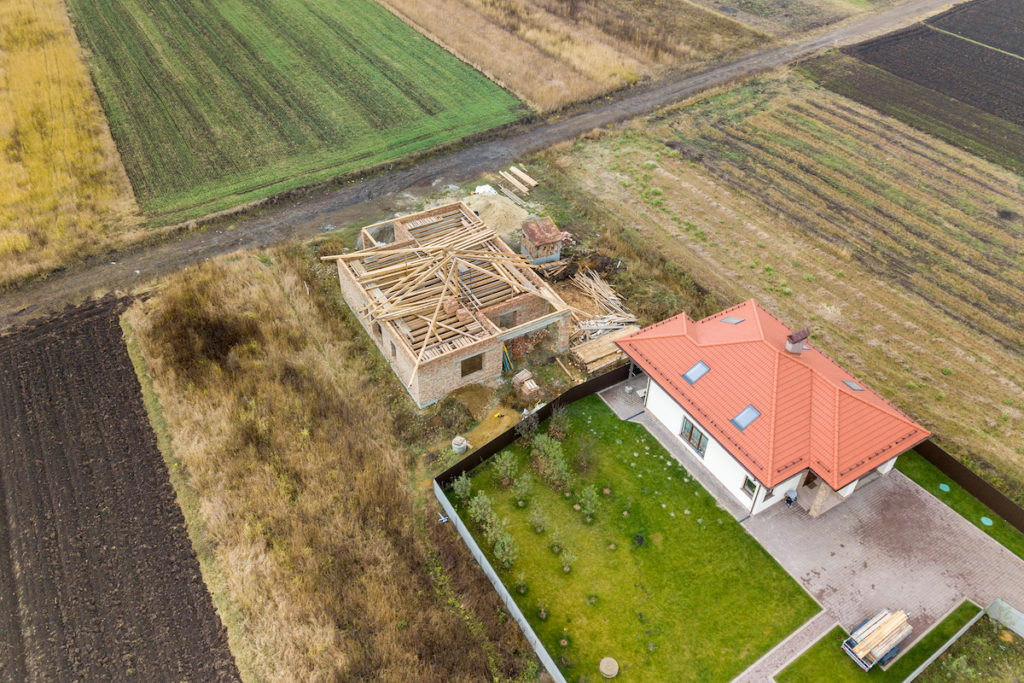
Construction Surveys
Construction surveys play a significant role in the construction industry. Civil engineers conduct most construction surveys, which verify that the work authorized is being completed according to the plan set out in the plot plan. As-built surveys are conducted several times during a construction project to ensure compliance with local and state boards’ specifications. Foundation surveys are also done to verify that the foundation has been constructed in the proper location and manner.
Hydrographic Surveys
Land surveying is not limited to land. Hydrographic and bathymetric surveys are performed in Utah to collect data on bodies of water, including water depth, bottom contours, and direction of the current. Hydrographic surveys can also be conducted for engineering or resource management purposes, such as hydro power plants. Bathymetric surveys, on the other hand, exclusively map the seabed profile.
Other types of Surveys
Geodetic surveys map out the shoreline and the interior lands of the United States. Thomas Jefferson commissioned the Survey of the Coast in 1807, which eventually became the National Geodetic Survey responsible for mapping the United States’ interior lands and coasts.
Wetlands delineation and location surveys are performed when construction work is planned on or near sites containing wetlands. In Utah, wetlands are classified as areas that are completely inundated with water for more than two weeks during the growing season. Surveyors determine wetland boundaries by observing soil colors, vegetation, erosion patterns or scour marks, hydrology, and morphology of the land.
Land Surveying in Utah
In Utah, land surveying plays a vital role in various industries, ensuring that properties are properly marked, and constructions adhere to building codes and zoning regulations. If you need a land survey, make sure to hire a licensed land surveyor to ensure the accuracy and quality of the survey. Cook Surveying is the best in Utah and we would love to help you out with all your surveying needs. Check out our types of services HERE