
by Cook Surveying Engineer | Apr 16, 2024 | Surveying
In today’s tech-driven world, smartphones have become indispensable tools for various tasks, including navigation and measurement. This raises an interesting question for property owners and prospective buyers in places like Salt Lake City, Utah: Can you use...
by Cook Surveying Engineer | Apr 9, 2024 | Surveying
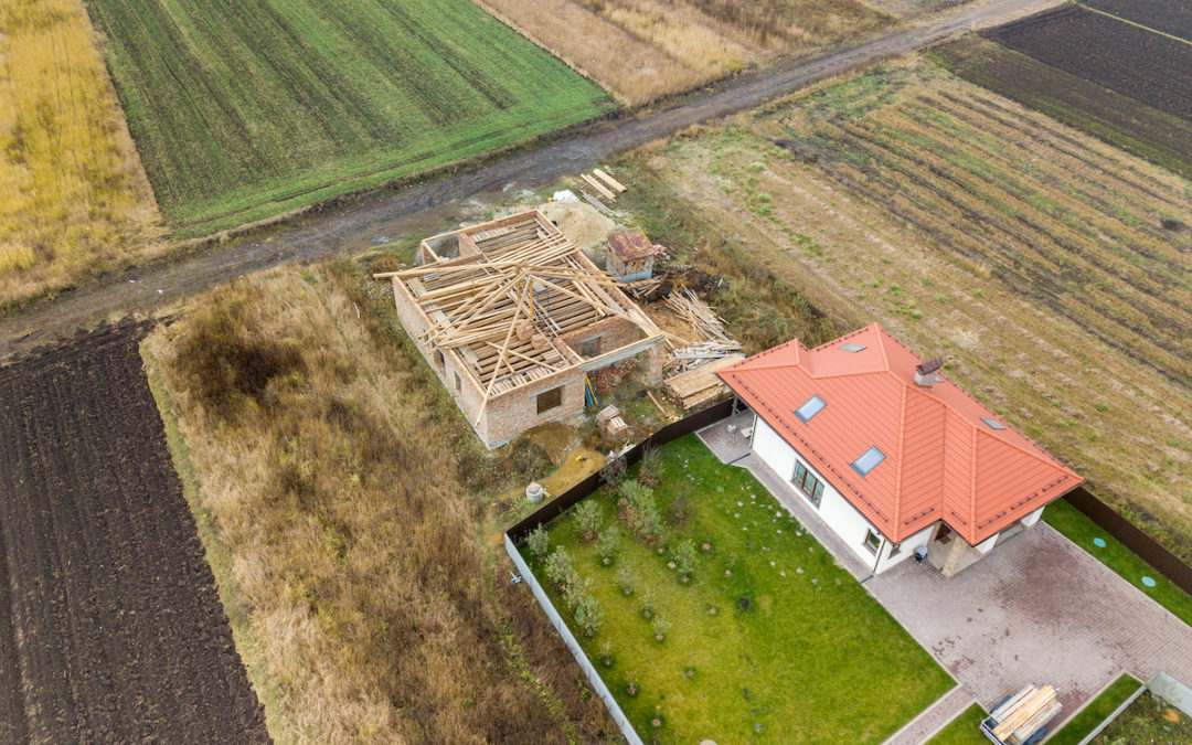
In the realm of land surveying and property planning, particularly in regions like Salt Lake City, Utah, understanding the distinction and practical applications of a plat and a survey is vital. While both serve essential purposes in the land development process,...
by Cook Surveying Engineer | Apr 2, 2024 | Surveying
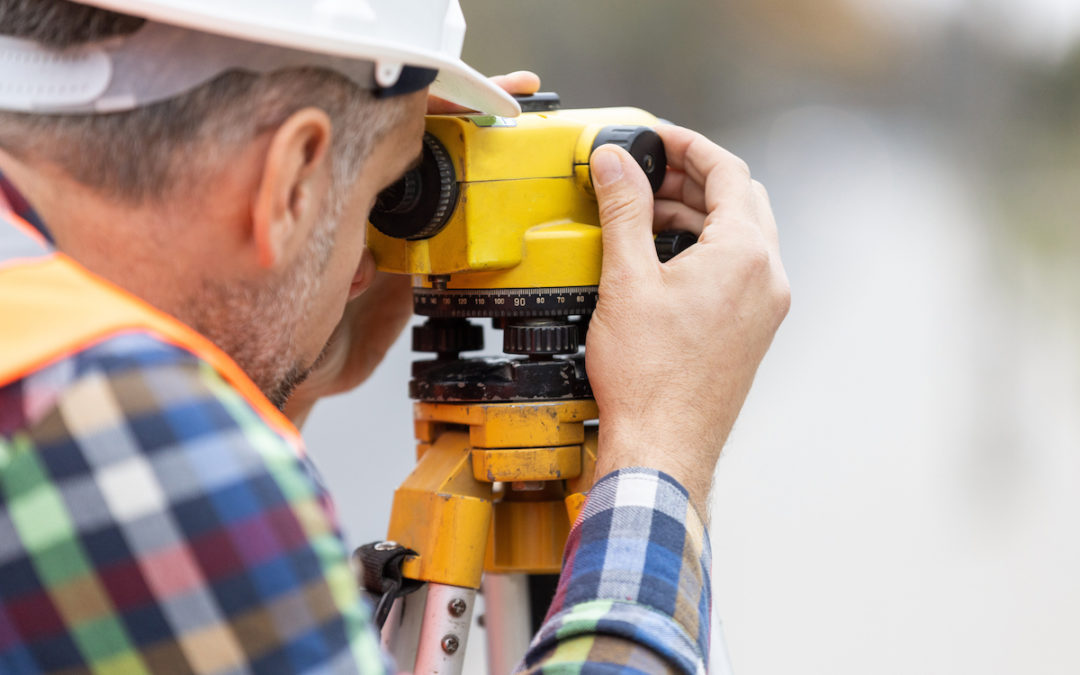
Navigating the world of land surveying can uncover a range of services with varying complexities and costs. In the quest to meet legal, developmental, and personal property needs, especially in regions like Salt Lake City, Utah, understanding which type of survey...
by Cook Surveying Engineer | Mar 26, 2024 | Surveying
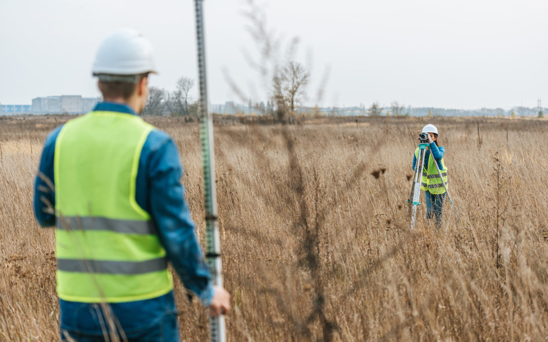
The precision of land surveying is a cornerstone of property development and legal boundary establishment. In regions like Salt Lake City, Utah, where geographic and legal complexities abound, the accuracy of land surveying is paramount. This article will delve into...
by Cook Surveying Engineer | Mar 19, 2024 | Surveying
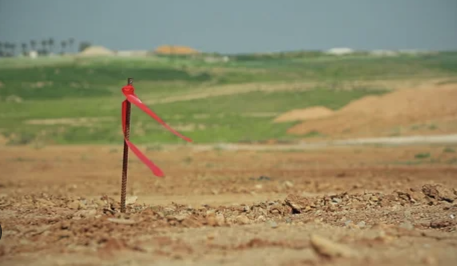
Navigating the intricacies of land ownership and development can be daunting, particularly when encountering unexpected issues during a land survey. In Salt Lake City and beyond, recognizing red flags on a land survey is crucial for property owners, developers, and...



Recent Comments