If you have ever been told you need a survey but were not sure exactly what kind, you are in good company. Many Utah property owners use the word survey as a general term without realizing that it covers a wide range of different services. So what is the difference between a survey and a boundary survey? Understanding that difference helps you order the right service, ask the right questions, and get the results your property actually needs. In this article, we explain what each term means, how a boundary survey fits into the broader world of land surveying, and when each type is the right choice for Utah property owners.
What Does the Word “Survey” Actually Mean?
In land surveying, the word survey is a broad umbrella term. It simply means a professional measurement and documentation of land or property. However, that definition covers a wide variety of specific services, each with its own purpose, method, and deliverable.
Some of the most common types of surveys include:
- Boundary surveys that define the legal limits of a property
- Topographic surveys that map the shape and elevation of the land
- ALTA/NSPS surveys that provide comprehensive detail for commercial transactions
- Construction surveys that stake out building locations and grades
- Hydrographic surveys that map the bottom of bodies of water
- Drone mapping surveys that collect aerial data across large areas
Because the word survey can refer to any of these services, it is important to be specific when you request one. Telling a surveying firm you need a survey without specifying the type is a little like calling a contractor and saying you need work done without explaining what kind. The more specific you are, the faster and more accurately a firm can help you.
What Is a Boundary Survey Specifically?
A boundary survey is one specific type of survey. It is also the most common type requested by property owners across Utah and the rest of the country. As we covered in our article on What Is the Most Common Type of Land Survey, a boundary survey establishes the exact legal limits of a property by researching historical records and measuring the land in the field.
The goal of a boundary survey is to answer one specific question: where exactly does this property begin and end?
A boundary survey typically includes:
- A thorough review of deeds, plat maps, and prior survey records
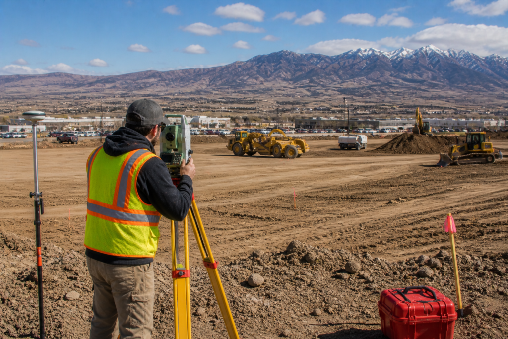
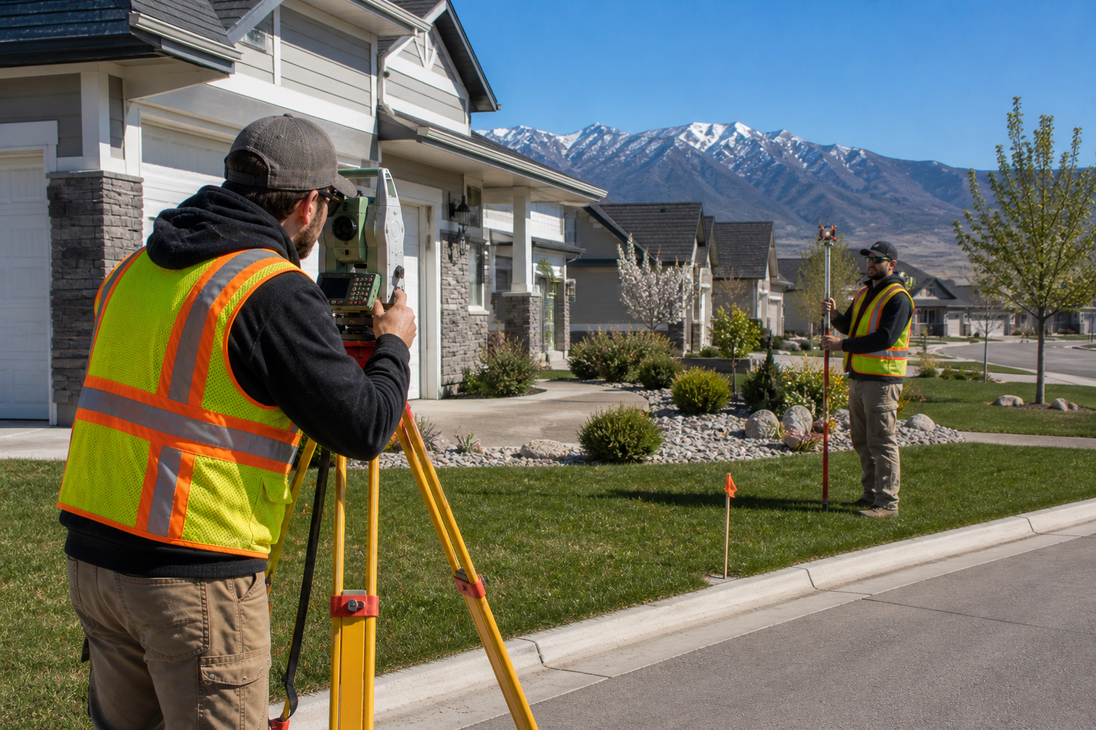
- Field measurements using total stations, RTK GPS, or both
- Location and verification of existing property corner monuments
- Setting new monuments where corners are missing or disturbed
- Preparation of a certified survey map showing all boundary information
- Identification of any encroachments, easements, or boundary conflicts
Because a boundary survey is a legal document prepared and certified by a licensed Professional Land Surveyor, it carries legal weight that no other method of determining property lines can match.
How a Boundary Survey Differs From Other Survey Types
Understanding how a boundary survey compares to other common survey types helps clarify why the difference between a survey and a boundary survey matters so much in practice.
Boundary Survey vs. Topographic Survey
A boundary survey focuses on where the property lines are. A topographic survey, on the other hand, focuses on the shape and elevation of the land within those lines. Topographic surveys show contours, slopes, drainage patterns, and surface features. They are essential for engineering and construction planning but do not establish legal boundaries on their own.
In many projects, both types of survey are needed. For example, if you are planning to build on a sloped property in the Wasatch foothills, you need a boundary survey to know where your property ends and a topographic survey to understand how the land rises and falls across it.
Boundary Survey vs. ALTA/NSPS Survey
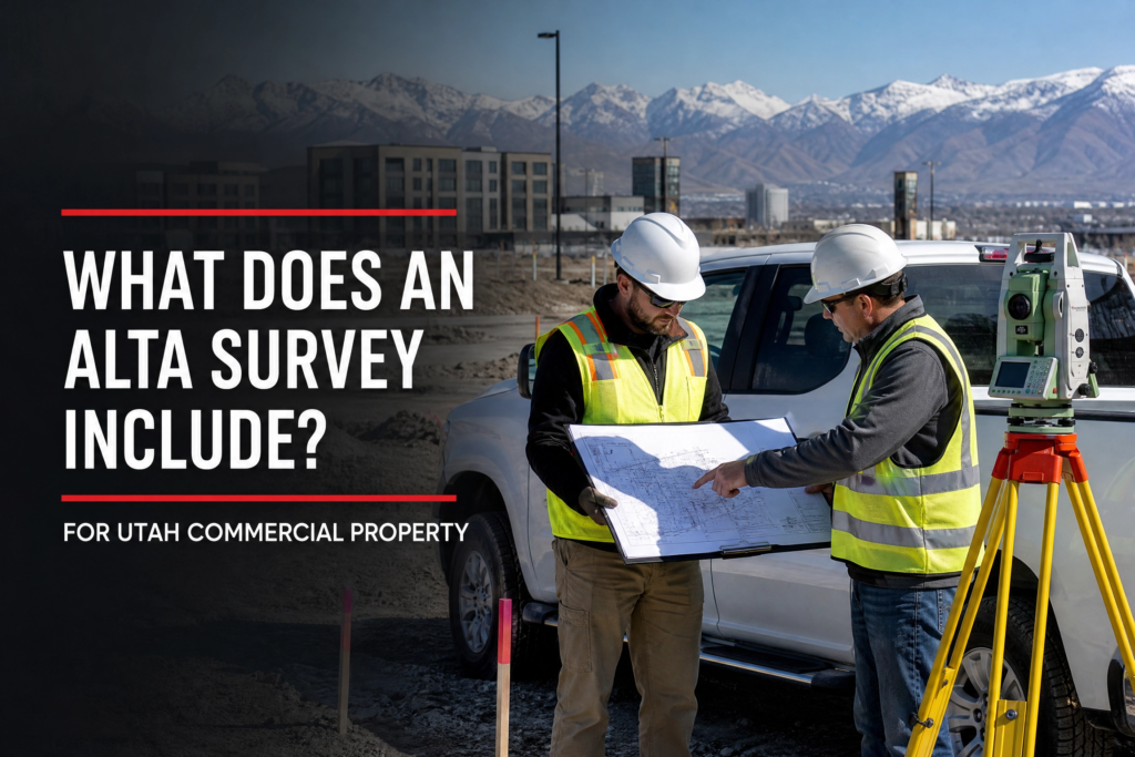
An ALTA/NSPS survey is essentially a more comprehensive and standardized version of a boundary survey. It follows strict national standards set by the American Land Title Association and the National Society of Professional Surveyors and covers far more detail than a standard boundary survey, including easements, encroachments, utilities, and improvements.
ALTA surveys are most commonly required for commercial real estate transactions and by lenders and title companies on complex properties. You can learn more about this survey type in our article on What Is an ALTA/NSPS Land Title Survey and When Is It Needed.
Boundary Survey vs. Construction Survey
A construction survey uses the boundary information established by a boundary survey as its starting point. However, its purpose is different. A construction survey stakes out the location of buildings, roads, utilities, and other improvements so that construction crews know exactly where to build. Because of this, a boundary survey often comes first, and a construction survey follows once development begins.
When Do You Need a General Survey vs. a Boundary Survey?
Knowing which type of survey you need comes down to understanding what question you are trying to answer.
You likely need a boundary survey specifically when:
- You are buying or selling a residential or rural property
- You want to build a fence and need to know where your property line is
- A neighbor is disputing your boundary
- You plan to build a structure near a property line
- You are subdividing land into smaller parcels
- Your lender or title company requires a survey for financing
You may need a different type of survey when:
- You are planning a construction project and need elevation and grade data — topographic survey
- You are involved in a commercial real estate transaction — ALTA/NSPS survey
- You need aerial mapping data across a large area — drone mapping survey
- You are building near a river, lake, or reservoir — hydrographic survey
If you are not sure which type of survey your situation calls for, the best first step is to call a licensed surveying firm and describe your project. An experienced team can quickly point you in the right direction.
Why the Distinction Matters for Utah Property Owners
Utah’s rapid growth and diverse landscape make it especially important to get the right type of survey for your situation. A property on the edge of a new subdivision in St. George has very different survey needs than a rural ranch parcel in eastern Utah or a commercial development site along the Wasatch Front.
Furthermore, ordering the wrong type of survey wastes time and money. For example, if you need a legally binding boundary determination but order a topographic survey instead, you will end up paying for a second survey to get the boundary information you actually needed in the first place.
Because of this, taking a few minutes to understand the difference between a survey and a boundary survey before you pick up the phone can save you a significant amount of time and expense on your project.
Key Takeaways
- The word survey is a broad term that covers many different types of professional land measurement services
- A boundary survey is one specific type of survey that establishes the exact legal limits of a property
- Boundary surveys differ from topographic, ALTA, construction, and other survey types in their purpose and deliverables
- The difference between a survey and a boundary survey matters because ordering the wrong type costs time and money
- Utah property owners should always specify the type of survey they need when contacting a surveying firm
- When in doubt, call a licensed surveying firm and describe your project so they can recommend the right approach
Helpful Resources
- National Society of Professional Surveyors (NSPS) — national standards, education, and professional resources for land surveyors
- Utah Association of Land Surveyors (UALS) — Utah specific licensing information, continuing education, and professional guidance
Conclusion
So what is the difference between a survey and a boundary survey? A survey is a broad term that covers many types of professional land measurement services, while a boundary survey is one specific type that focuses on establishing the exact legal limits of a property. Understanding that difference between a survey and a boundary survey helps you order the right service, protect your investment, and avoid costly mistakes on your Utah property project.
At Cook Surveying & Associates, we help property owners, developers, and real estate professionals across Utah choose the right survey for their specific needs every single time. Our licensed team is ready to answer your questions and get your project moving in the right direction.
Contact Cook Surveying & Associates today to find out which survey is right for you.