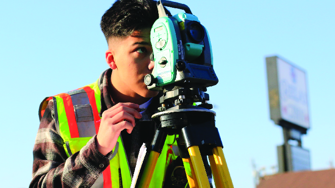
Land Surveying
Land Surveying and Geomatics Services

Cook Surveying & Associates provides a comprehensive range of surveying and geomatics services to define land boundaries and address spatial data for innumerable features on, above, and under the earth’s surface. Across the United States, we develop this crucial information for our clients through traditional surveying, geodesy, digital mapping, global positioning systems, and geographic information systems.
Our technical skills match the diversity of our client base and projects, which include: Pipeline, residential, commercial and industrial development, utilities, power transmission and facilities, and other types of projects.
• Construction and Design Surveys
• Pipeline Preliminary Design and As-Built Surveys
• Right-of-Way Corridors and Easement Surveys
• Aerial Mapping Services
• Boundary Surveys
• Land Development
• Subdivision Surveying
• ALTA Surveys
• Condominium Surveys
• Design Drafting and Mapping
• AutoCAD / MicroStation
• Utility Locates
• Blind Sweeps
Land Suveying Services
At Cook Surveying & Associates, we excel in providing a comprehensive range of surveying and geomatics services that serve to define land boundaries and address spatial data for countless features on, above, and below the Earth’s surface. Our commitment to precision and innovation is unwavering, ensuring that we deliver crucial information to our clients through a spectrum of cutting-edge techniques.
Our expertise spans various disciplines, incorporating traditional surveying, geodesy, digital mapping, global positioning systems (GPS), and geographic information systems (GIS). With these advanced technologies at our disposal, we empower our clients with the accurate data they need to make informed decisions.
At Cook Surveying & Associates, we are dedicated to setting the highest standards in surveying and geomatics, ensuring that your projects are founded on precision and excellence.”
- Pipeline Projects: We provide critical surveying and geomatics support for pipeline projects, ensuring accuracy and compliance with regulatory standards.
- Residential Development: Our services play a pivotal role in residential development projects, helping create well-defined property boundaries and infrastructure planning.
- Commercial and Industrial Development: For commercial and industrial developments, we deliver precise spatial data that supports efficient construction and development.
- Utilities: Whether it’s for water, sewer, or electrical utilities, we offer the geospatial insights needed to optimize utility systems.
- Power Transmission and Facilities: In the realm of power transmission and facilities, our surveys aid in the planning and management of vital infrastructure.
These represent just a snapshot of the diverse projects we handle. Regardless of the scope or complexity, our commitment remains constant: to deliver accurate, reliable, and actionable data that empowers our clients to succeed.
Additional Services

Engineering

Surveying

GIS/MAPPING

ILI Tracking

Drone Mapping

