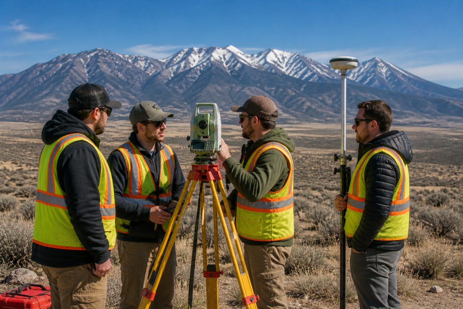
Image Prompt: A group of professional land surveyors in safety vests gathered around survey equipment in an open Utah landscape with mountains in the background, natural daylight, teamwork atmosphere, photorealistic, wide horizontal composition, no text overlay, 1536×1024.
How Many Types of Surveyors Are There?
Introduction
Surveying is a much broader profession than most people realize. If you have ever asked how many types of surveyors are there, you might be surprised by the answer. While most Utah property owners are familiar with the land surveyor who shows up to measure their property, the surveying profession actually covers a wide range of specialties. Each type of surveyor focuses on a different aspect of measurement, mapping, and spatial data. In this article, we walk through the main types of surveyors, explain what each one does, and help you understand which type of surveyor you need for your specific project in Utah.
How Many Types of Surveyors Are There?
The surveying profession includes many different specialties, but most professionals fall into one of several core categories. While the exact number varies depending on how specialties are defined and classified, there are generally between six and ten recognized types of surveyors working across the United States today. In Utah, the most commonly encountered types include land surveyors, geodetic surveyors, hydrographic surveyors, and construction surveyors, among others.
Understanding the differences between these types helps you find the right professional for your project and gives you a much clearer picture of just how broad and important the surveying profession really is.
Land Surveyors
Land surveyors are the most commonly encountered type of surveyor for everyday property owners. Their primary focus is measuring and documenting the boundaries, features, and spatial relationships of land parcels. In Utah, all legally binding boundary surveys must be performed by a licensed Professional Land Surveyor, or PLS.
Land surveyors typically handle:
- Boundary and property line surveys
- Topographic surveys
- Subdivision and platting work
- Construction staking
- ALTA/NSPS land title surveys
- Easement and right of way surveys
Because land surveyors touch so many different aspects of property ownership and development, they are the backbone of the surveying profession in Utah and across the country. At Cook Surveying & Associates, our licensed land surveyors bring decades of experience to every project, from residential boundary work to large scale commercial and infrastructure surveys. You can learn more about the range of services we provide on our Land Surveying page.
Geodetic Surveyors
Geodetic surveyors work at a much larger scale than land surveyors. Instead of focusing on individual properties, geodetic surveyors measure and map large portions of the earth’s surface, taking into account the curvature of the earth in their calculations. Their work forms the foundation of the national coordinate systems and reference networks that all other surveyors rely on.
Geodetic surveyors typically work on:
- Establishing and maintaining national control point networks
- Large scale mapping projects covering entire states or regions
- Scientific research related to the shape and movement of the earth
- GPS reference station networks
- Satellite positioning systems and geodetic datum maintenance
In Utah, geodetic control points established by the National Geodetic Survey provide the reference framework that local land surveyors tie their work into. Because of this, geodetic surveying plays an essential behind the scenes role in the accuracy of every land survey performed across the state.
Construction Surveyors
Construction surveyors, sometimes called engineering surveyors, specialize in supporting the planning and execution of construction projects. Their work bridges the gap between design drawings and what actually gets built on the ground. Because of this, construction surveyors are essential on virtually every significant building project.
Construction surveyors typically handle:
- Staking out building footprints, foundations, and structural elements
- Setting grades and elevations for roads, parking lots, and drainage systems
- Monitoring and verifying that construction matches the approved design
- As built surveys that document what was actually constructed
- Site layout for utilities, pipelines, and infrastructure
In Utah, where construction activity is booming across the Wasatch Front and in fast growing communities like St. George and Cedar City, construction surveyors are in particularly high demand. Furthermore, the precision required in construction surveying makes it one of the most technically demanding specialties in the profession.
Hydrographic Surveyors
Hydrographic surveyors specialize in mapping bodies of water and their underwater features. Rather than measuring land, they measure the depth, shape, and characteristics of rivers, lakes, reservoirs, and ocean floors. Their work is essential for navigation, flood management, environmental planning, and water resource management.
Hydrographic surveyors typically work on:
- Mapping river and lake bed profiles
- Monitoring reservoir levels and sediment accumulation
- Supporting bridge and dam construction projects
- Flood plain mapping and analysis
- Dredging and navigation channel surveys
In Utah, hydrographic surveying plays an important role given the state’s network of reservoirs, rivers, and irrigation systems. At Cook Surveying & Associates, we provide hydrographic surveying services using Real Time Kinematic GPS combined with sonar equipment to deliver centimeter accurate underwater mapping across Utah’s water bodies.
GIS and Mapping Surveyors
Geographic Information System specialists, often called GIS surveyors or GIS analysts, focus on collecting, managing, and analyzing spatial data using digital mapping systems. While not always classified as traditional surveyors, GIS professionals play an increasingly important role in the modern surveying profession.
GIS and mapping surveyors typically work on:
- Building and maintaining spatial databases for municipalities and government agencies
- Combining survey data with other types of information to support planning decisions
- Creating digital maps and interactive mapping systems
- Supporting environmental monitoring and land use analysis
- Pipeline and utility asset management
At Cook Surveying & Associates, our GIS mapping services help clients turn raw survey data into powerful tools for decision making and long term asset management.
Drone and Remote Sensing Surveyors
Drone surveying has emerged as one of the fastest growing specialties in the profession. Drone surveyors, also called UAV surveyors or remote sensing specialists, use unmanned aerial vehicles equipped with cameras and sensors to collect high quality aerial data across large areas quickly and safely.
Drone surveyors typically work on:
- Large area topographic mapping
- Volumetric calculations for earthwork, mining, and stockpile management
- Aerial photography and mapping for development planning
- Infrastructure inspection and monitoring
- Environmental and land use mapping
Because drone surveying dramatically reduces the time and cost of collecting data across large or difficult to access areas, it has become an essential tool in the modern surveyor’s kit. Our drone mapping services at Cook Surveying & Associates allow us to deliver faster results across Utah’s diverse and sometimes remote landscape.
Mining and Energy Surveyors
Mining and energy surveyors specialize in the unique measurement and mapping needs of the mining, oil, gas, and energy industries. In Utah, where energy production and mining play a significant role in the economy, this specialty is particularly relevant.
Mining and energy surveyors typically handle:
- Surface and underground mine mapping
- Pipeline corridor surveys and as built documentation
- Well pad layout and construction staking
- Volumetric calculations for ore and material stockpiles
- Land and mineral rights boundary surveys
Cook Surveying & Associates has extensive experience supporting pipeline and energy sector clients across Utah, including ILI tracking and pipeline integrity services through our ILI Tracking services.
Key Takeaways
- There are generally between six and ten recognized types of surveyors in the United States
- Land surveyors are the most commonly encountered type for everyday property owners in Utah
- Geodetic surveyors work at a large scale and establish the reference networks all other surveyors rely on
- Construction surveyors support building projects from layout through as built documentation
- Hydrographic surveyors map bodies of water and underwater terrain
- GIS specialists manage and analyze spatial data using digital mapping systems
- Drone surveyors collect aerial data efficiently across large or remote areas
- Mining and energy surveyors support the resource extraction industries
Helpful Resources
- National Society of Professional Surveyors (NSPS) — professional standards, education, and resources covering all types of surveying specialties
- Utah Association of Land Surveyors (UALS) — Utah specific licensing, continuing education, and professional networking for surveyors of all specialties
Conclusion
So how many types of surveyors are there? While the exact number depends on how specialties are defined, there are generally between six and ten recognized types of surveyors working across the United States today. Each type brings a unique set of skills and tools to a specific area of measurement and mapping. Understanding how many types of surveyors there are and what each one does helps you find the right professional for your project and appreciate the full scope of this essential profession.
At Cook Surveying & Associates, our team covers a wide range of surveying specialties, from land and boundary surveys to drone mapping, GIS services, hydrographic surveying, and pipeline support. Whatever your project requires, we have the experience and the tools to get it done right.
Contact Cook Surveying & Associates today and let us match you with the right expertise for your next project.