Land surveying is an important and often misunderstood field that plays a crucial role in various industries, including construction, real estate, and land development. However, there are many myths and misconceptions surrounding land surveying that can lead to misunderstandings and incorrect assumptions. In this article, we will debunk some common land surveying myths and clarify the facts to help you better understand this essential profession.
Myth 1: “Land surveying is only necessary for large-scale projects.”
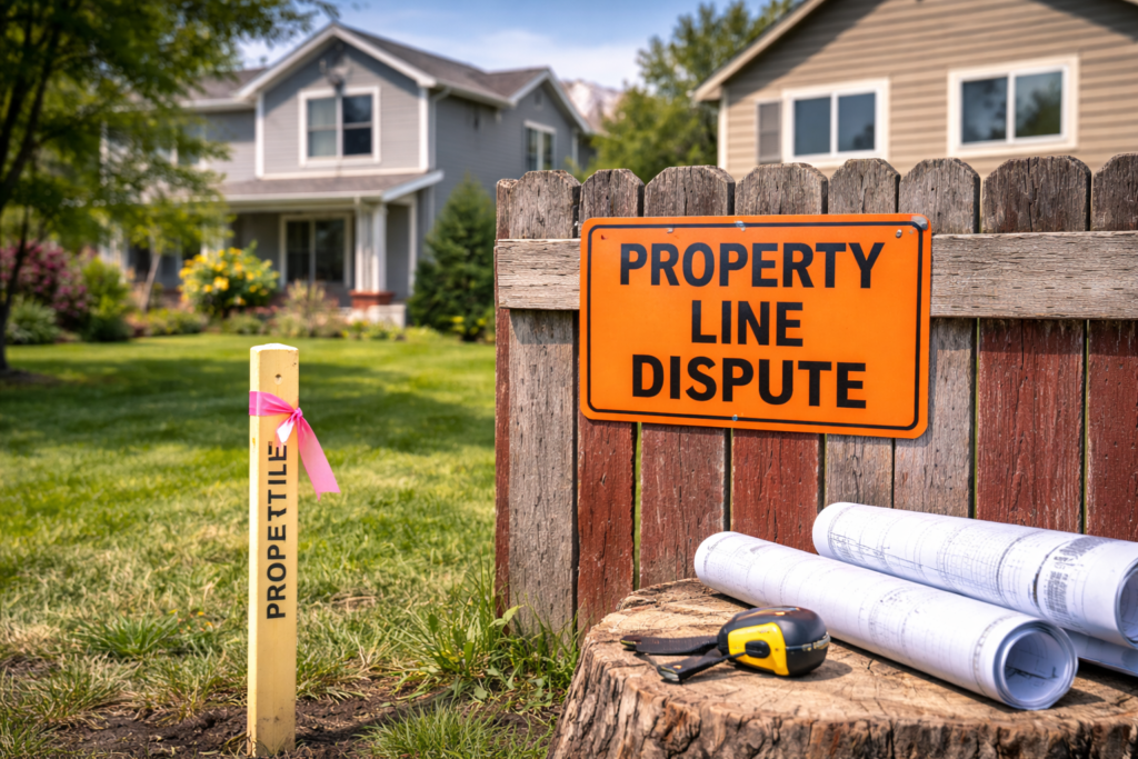
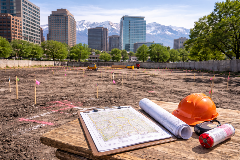
Fact: Land surveying is relevant for projects of all sizes, from small residential properties to large commercial developments. Regardless of the scale, accurate land surveying provides critical information about property boundaries, topography, and legal rights. It ensures proper land use, compliance with zoning regulations, and the avoidance of potential disputes in the future.
Myth 2: “Land surveying is only needed when buying or selling property.”
Fact: While land surveying is crucial during property transactions, its importance extends far beyond buying or selling land. Land surveying is necessary for various reasons, such as land development, construction projects, property expansions, and boundary dispute resolutions. It helps ensure that projects are planned and executed accurately, and it provides valuable data for engineering and architectural designs.
Myth 3: “Land surveying is expensive and time-consuming.”
Fact: The cost and time required for a land survey depend on several factors, such as the size of the property, the complexity of the survey, and the specific requirements of the project. However, land surveying is an investment that provides long-term benefits by preventing costly legal disputes, ensuring compliance with regulations, and facilitating smooth project execution. The cost of a survey is often modest compared to the potential risks and expenses associated with inaccurate or incomplete information.
Myth 4: “Land surveying is outdated and can be replaced by technology.”
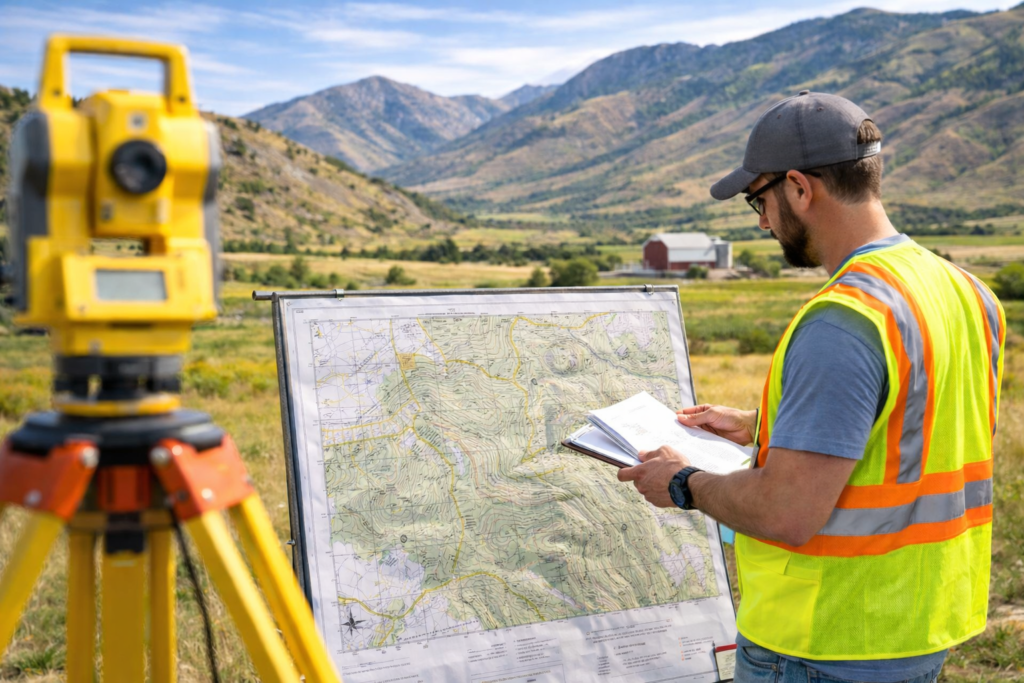
Fact: While technological advancements have transformed the field of land surveying, professional surveyors remain essential. Surveyors utilize advanced equipment such as GPS, robotic total stations, and aerial drones to collect accurate and detailed data. These tools enhance efficiency and accuracy, but they still require the expertise of a trained surveyor to interpret and analyze the information. The knowledge and skills of a surveyor are crucial for accurate measurements, boundary determination, and legal compliance.
For more information on land surveying and to gain additional insights
- According to the National Society of Professional Surveyors (NSPS), land surveying is crucial for establishing accurate property boundaries, determining property rights, and ensuring compliance with regulations.
- The American Congress on Surveying and Mapping (ACSM) provides resources, publications, and educational opportunities related to land surveying, mapping, and geospatial information.
- The International Federation of Surveyors (FIG) offers global perspectives on land surveying, promotes professional standards, and provides insights into the latest developments in the field.
You may also find the following info on our website helpful:
- Learn more about our comprehensive Land Surveying Services to understand how we can assist you with your surveying needs.
- Visit our About Us page to learn more about our company and our commitment to providing accurate and reliable land surveying services.
By debunking these common myths and misconceptions about land surveying, we hope to provide a clearer understanding of the importance and relevance of this field. Land surveying is a critical aspect of various projects and plays a vital role in ensuring accurate property boundaries, legal compliance, and smooth project execution. By consulting with professional land surveyors and understanding the facts, you can make informed decisions and avoid potential pitfalls associated with misunderstandings or incorrect assumptions.


