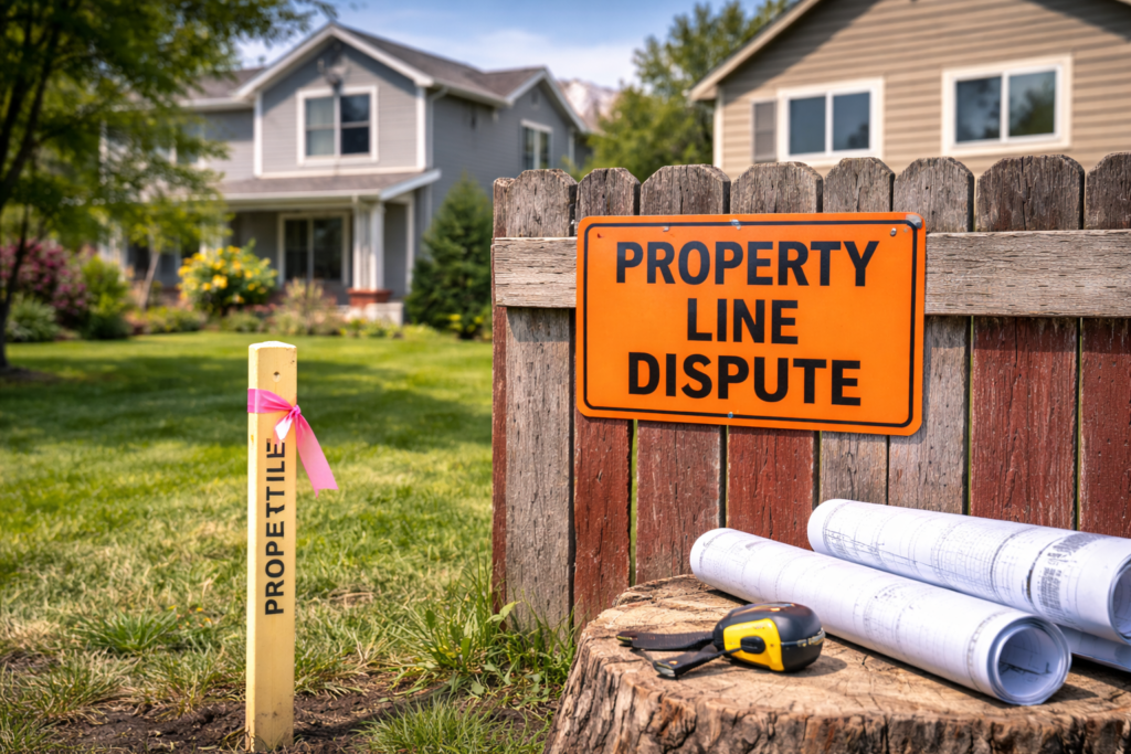
The precision of land surveying is a cornerstone of property development and legal boundary establishment. In regions like Salt Lake City, Utah, where geographic and legal complexities abound, the accuracy of land surveying is paramount. This article will delve into how accurate land surveying is, the factors influencing its precision, and the technological advancements that enhance surveying accuracy.
Understanding the Accuracy of Land Surveying
Core Principles of Survey Accuracy
Land surveying accuracy hinges on the principles of measurement and calculation, where even the smallest error can lead to significant discrepancies. Professional land surveyors employ various methodologies to ensure that every measurement is as precise as possible.
Technological Advancements Enhancing Accuracy
Modern surveying techniques have evolved with technology, leading to increased accuracy in the field. Instruments like GPS (Global Positioning System), total stations, and UAVs (Unmanned Aerial Vehicles) have revolutionized surveying practices, offering pinpoint accuracy in determining land boundaries.
For an in-depth look at the technology used in land surveying, visit resources like Trimble, a leader in surveying technology.
Factors Influencing Survey Accuracy
Environmental Conditions
The accuracy of land surveying can be affected by various environmental factors, such as topography, weather conditions, and physical obstructions. Surveyors must account for these variables to ensure accurate measurements.
Human and Technical Errors
While rare, human error in data collection or analysis can impact survey accuracy. Technical errors, related to equipment malfunction or software issues, can also play a role. Ongoing training and equipment maintenance are crucial for minimizing these errors.
The Role of Professional Expertise
Ensuring Accuracy Through Expertise
The expertise of professional surveyors is critical in achieving high accuracy in land surveying. Experienced surveyors understand how to navigate potential challenges and employ best practices to ensure reliable results.
In Utah, organizations like the Utah Council of Land Surveyors provide a platform for professionals to stay abreast of industry standards and technological advancements, further ensuring survey accuracy.
Legal and Regulatory Standards
The accuracy of Land surveying is also governed by legal and regulatory standards, which vary by location. In Utah, surveyors must adhere to state-specific guidelines that dictate the precision required for legal land transactions and developments.
The Impact of Accuracy on Land Use and Development
Reliability in Legal and Development Contexts
The accuracy of land surveying is fundamental in legal disputes, property transactions, and development planning. Precise surveys form the basis for reliable land records, dispute resolution, and informed decision-making in property development.
Conclusion: Land surveying’s accuracy is a product of advanced technology, professional expertise, and adherence to legal standards. In Salt Lake City and throughout Utah, the precision of land surveying underpins the integrity of property boundaries and the success of real estate and development projects. For those seeking reliable land surveying services, Cook Surveying offers the expertise and technology necessary to deliver precise and dependable results.
External Links:
- National Society of Professional Surveyors: For standards and practices in surveying.
- American Congress on Surveying and Mapping: Resources on surveying accuracy and technology.


