Owning a home in Utah means dealing with Mother Nature. Heavy spring runoff, summer monsoon downpours and unexpected cloudbursts can all send water rushing down canyons and dry washes. If your property sits near a river, stream or even a normally dry arroyo, you may be required by your lender or your local government to provide proof that the lowest floor of your home sits high enough to meet flood‑plain regulations. That proof comes in the form of a Federal Emergency Management Agency (FEMA) elevation certificate, and it relies on precise measurements taken by a licensed surveyor. Even if your lender doesn’t require it, understanding your home’s elevation relative to the Base Flood Elevation (BFE) can help you make smart decisions about insurance, renovations and flood‑proofing.
What is an elevation certificate?
An elevation certificate (often abbreviated EC) is an official FEMA form used to document a building’s elevation relative to the BFE. Utah’s Floodplain Management Quick Guide explains that the EC is a FEMA form available from the agency’s website. According to the guide, the form must be completed and sealed by a registered surveyor or engineer when the floodplain has Base Flood Elevations. In approximate flood zones, a community official or property owner may complete the form, but a professional survey is still needed to provide accurate data. The certificate can confirm that a structure is built on natural ground and above the BFE, and insurance agents use the document to write National Flood Insurance Program (NFIP) policies. The form by itself does not remove the requirement for flood insurance—those changes require a Letter of Map Amendment (LOMA).
Why you might need one
Flood‑zone determinations aren’t just for properties along the Wasatch Front. Many rural areas in southern and central Utah fall within FEMA’s Special Flood Hazard Areas. Homeowners might need an elevation certificate when:
- You’re buying property in a FEMA flood zone. Most lenders participating in the NFIP will require an elevation certificate before approving a mortgage for a property in a high‑risk zone.
- You want to reduce your flood‑insurance premium. Insurance companies rely on elevation data to set premiums. If the lowest floor of your house sits well above the BFE, you could save money on your policy.
- You plan to build or renovate in a flood‑prone area. Utah’s floodplain guide notes that communities will issue a permit and provide an EC form when you build in the floodplain; once the lowest floor is set, you must have a surveyor fill out and seal the certificate. An “as‑built” EC at the end of construction proves the home was built correctly and helps secure the lowest insurance rates.
- You’re applying for a LOMA/LOMR. Property owners who believe FEMA’s flood maps are incorrect can request a map amendment. A certified elevation certificate is required as part of that application.
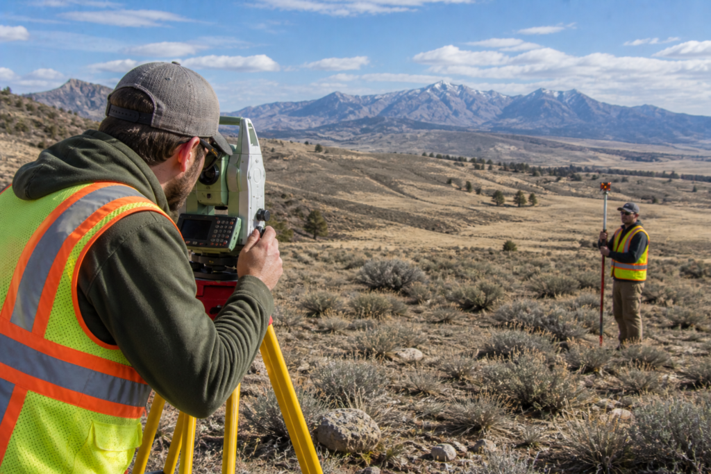
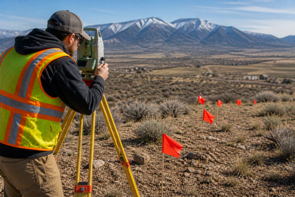
How surveyors prepare elevation certificates
Producing an EC isn’t as simple as reading a topographic map. A licensed surveyor or engineer will:
- Research flood data. The surveyor looks up the Base Flood Elevation for your site using FEMA’s Flood Insurance Rate Maps (FIRMs) or digital flood data.
- Measure multiple elevation points. Utah’s guide stresses that several points must be surveyed and that the EC includes diagrams for various building types. Surveyors use precision instruments—often GPS/GNSS receivers, digital levels and laser rangefinders—to record the elevation of the lowest floor, ground adjacent to the building and attached garages or decks.
- Document openings and building features. Vented crawlspaces, basements, attached garages and other enclosures below the BFE must be noted on the certificate because they can affect how floodwater flows through the building.
- Seal and submit the form. Once measurements are complete, the surveyor completes the FEMA form, seals it and provides copies to you and your insurance agent. Only a licensed surveyor or engineer is permitted to certify the document.
Flood surveys: more than a form
An elevation certificate provides a snapshot of your home’s elevation, but it doesn’t tell the whole story of flood risk. Topographic and hydrographic surveys map the shape of the land and water around your property. High‑quality topographic surveys provide detailed elevation data that help determine flood‑water depths and velocities. Hydrographic surveys measure underwater terrain, channel depths and flow restrictions; modern surveyors use boats equipped with sonar, GPS and inertial sensors to collect bathymetric data efficiently. When combined with hydraulic models, these surveys help engineers design levees, calculate floodways and update FEMA flood maps.
You may want a flood survey if:
- Your property borders a river, lake or canal. Survey data can reveal whether natural or man‑made channels direct floodwaters toward your home.
- You’re considering adding fill. Utah’s floodplain guide warns that filling in a floodplain can worsen flooding and may require a “no‑rise” certification from an engineer.
- You’re concerned about changing conditions. Wildfires, urban development and changing hydrology can alter flood risk. Updated surveys provide current data for revised flood studies.
Integrating elevation certificates with other surveys
Flood surveys aren’t the only information you might need. Boundary surveys ensure you know exactly where your property lines are before building fences, walls or berms. Topographic surveys map slopes, retaining walls and drainage patterns across your lot. Hydrographic surveys identify channel depths and underwater obstructions that could influence water flow. By working with a firm like Cook Surveying, you can combine these services to develop a comprehensive view of your property and its flood risks.
For example, when designing a new home or major addition, you might start with a boundary and topographic survey to identify property limits, contours and existing utilities. If the site lies near a creek, a hydrographic survey can map the channel and help determine if additional freeboard or flood‑proofing measures are needed. Once construction begins, your surveyor will return to collect elevation data for the EC and to stake foundations and grade lines. Finally, an as‑built elevation certificate documents that your finished lowest floor sits at or above the required elevation.
Choosing a licensed Utah surveyor
Because an elevation certificate must be sealed by a licensed professional, it’s important to verify credentials. Utah law requires land surveyors to be licensed by the state, and performing surveys without a license is illegal. When selecting a surveyor:
- Check credentials. Use the Utah Division of Occupational and Professional Licensing (DOPL) online search tool to verify the surveyor’s license status.
- Ask about flood experience. Look for a firm that has completed elevation certificates and flood surveys in your county. They should understand local floodplain ordinances and permitting requirements.
- Request references. A reputable surveyor will provide references from homeowners or builders who have used their services for elevation certificates.
- Discuss integration. If you also need boundary, topographic or hydrographic services, ask whether the surveyor can combine these tasks to save time and ensure consistency.
Final thoughts
Flood risk isn’t limited to coastal states—Utah’s rivers and desert washes can rise quickly when storms hit. Understanding your home’s elevation relative to the Base Flood Elevation helps protect your investment and gives you options for reducing insurance costs. Elevation certificates, topographic surveys and hydrographic surveys all play a role in managing flood risk. When you’re ready to take the next step, Cook Surveying can provide the expertise and local knowledge to guide you through the process. For related reading, see our articles on hydrographic surveys and why homeowners should pay attention and why boundary surveys are essential before building a fence.
Useful resources
- FEMA forms and instructions for elevation certificates (external link)
- Utah Floodplain Management Quick Guide – Chapter on elevation certificates (external link)