Modern land surveying technology in Utah has changed how surveyors measure property, confirm boundaries, and collect data. Today’s tools allow surveyors to work faster, safer, and more accurately than ever before.
Because land ownership decisions depend on precision, understanding how modern land surveying technology in Utah works helps property owners trust the results they receive.
How Land Surveying Technology Has Evolved
In the past, land surveyors relied heavily on manual measurements and physical landmarks. While those methods worked, they required more time and left more room for error.
Today, modern land surveying technology in Utah combines advanced equipment with detailed research. As a result, surveyors can verify boundaries with a higher level of confidence.
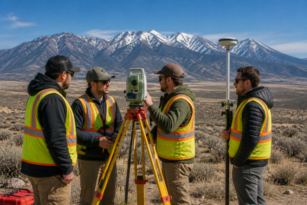
GPS Technology in Land Surveying
Global Positioning System technology plays a major role in modern surveys. Surveyors use GPS receivers to collect highly accurate location data tied to national coordinate systems.
With GPS technology:
- Surveyors confirm property corners precisely
- Measurements stay consistent across large areas
- Fieldwork becomes more efficient
Because GPS relies on satellite data, surveyors still verify results using professional judgment and historical records.
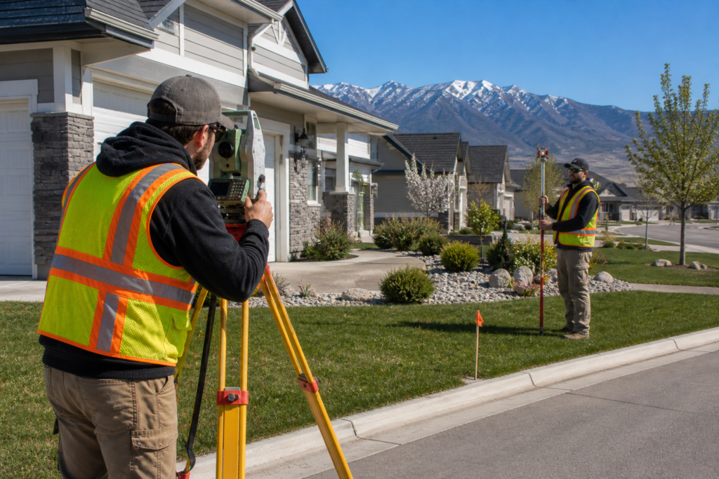
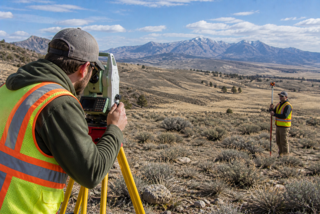
Total Stations and Digital Measurement Tools
Total stations combine electronic distance measurement with angle measurement. These tools allow surveyors to collect data quickly while maintaining accuracy.
Modern total stations:
- Reduce manual calculation errors
- Store digital measurements instantly
- Improve consistency across survey points
As a result, survey reports become more reliable and easier to interpret.
Drones and Aerial Data Collection
In certain situations, surveyors use drones to capture aerial data. Drone technology supports large or difficult-to-access properties.
Drone-assisted surveys help with:
- Topographic mapping
- Development planning
- Large parcel analysis
Surveyors using drones must still follow professional standards and regulations. Licensing and oversight for surveyors in Utah are managed by the Utah Division of Professional Licensing, which provides guidance at https://dopl.utah.gov.
How Technology Improves Accuracy and Efficiency
Modern land surveying technology in Utah improves both accuracy and efficiency. Surveyors can identify issues earlier, verify data faster, and reduce the need for repeat field visits.
Because of these improvements:
- Projects move forward faster
- Errors become less likely
- Property owners receive clearer results
Technology supports surveyors, but professional expertise remains essential.
Why Technology Does Not Replace Professional Judgment
Although technology enhances surveying, it does not replace training and experience. Surveyors still research records, evaluate evidence, and interpret data.
National professional standards guide how technology is used responsibly. Organizations such as the American Congress on Surveying and Mapping provide best practices at https://www.acsm.net.
Technology works best when combined with professional knowledge.
How Modern Technology Benefits Property Owners
For homeowners and business owners, modern land surveying technology in Utah offers clear benefits:
- Faster turnaround times
- Greater confidence in boundary accuracy
- Improved documentation for lenders and permits
Understanding these benefits helps property owners see the value behind professional surveying services.
Frequently Asked Questions About Modern Land Surveying Technology
Does technology make surveys cheaper?
Technology improves efficiency, but research and professional expertise still affect cost.
Are modern surveys more accurate than older ones?
Yes. Modern tools significantly improve measurement accuracy.
Do surveyors still use physical markers?
Yes. Surveyors still locate and verify physical monuments.
Can technology replace a land survey?
No. Only a licensed surveyor can legally establish boundaries.
Is drone surveying allowed in Utah?
Yes, when performed by licensed professionals following regulations.
Conclusion: Modern Land Surveying Technology in Utah
Modern land surveying technology in Utah has transformed how surveyors measure and document land. Advanced tools improve accuracy, efficiency, and reliability, while professional expertise ensures results remain legally sound.
Together, technology and experience protect property owners and support confident land decisions.