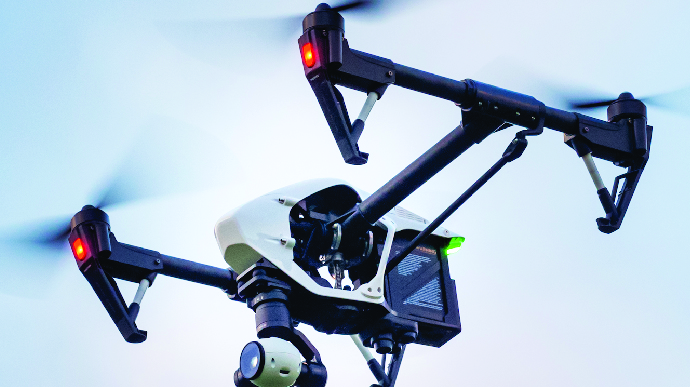
Drone Mapping
UAV | Drone Surveying & Mapping Service

Cook Surveying & Associates provides UAV/Drone surveying and mapping services. Our methods of collecting survey data using UAV are dramatically faster than traditional survey methods. With our data collection and delivery streamlined through drone operations and Drone Cloud, we provide a cost-effective and safe method of obtaining high-quality aerial mapping and topographic survey data.
Certified FAA’s Part 107 Pilot – Commercial FAA Drone Registered
UAV’S/ Drone Survey Services
• As-Built Surveys
• Hydrographic Boundary Surveys
• Bare Earth Modeling
• Photogrammetric 3D Mapping and Modeling
• Topographic Survey and Modeling
• Utility Design / Corridors
• Transmission Location / Mapping
• Distribution Location / Mapping
Data Types Gathered
• Ortho – Mosaic
• Digital Terrain Model (DTM)
• Digital Surface Model (DSM)
• Volumetric
• Contour and Topographic Mapping
• 3D Visualization
Drone Mapping Services
Our techniques are based on standard survey principles and with the addition of traditional, ground-based GPS systems we are able to create accurate terrain models as well as extremely high definition imager or the entire structure.
At Cook Surveying & Associates, we specialize in UAV/Drone surveying and mapping services that harness the power of cutting-edge technology. Our methods of collecting survey data using UAVs are not only accurate but also dramatically faster than traditional survey methods. This means reduced project timelines and quicker access to critical data.
One of the key advantages of our UAV-based approach is the efficiency it brings to data collection and delivery. Through our state-of-the-art drone operations and the utilization of Drone Cloud, we’ve streamlined the entire process. This results in a cost-effective and safe method of obtaining high-quality aerial mapping and topographic survey data.
Our techniques are firmly rooted in standard surveying principles. However, we enhance our capabilities by incorporating traditional, ground-based GPS systems. By combining these technologies, we’re able to create exceptionally accurate terrain models and generate extremely high-definition imagery of the entire area under consideration.
This level of precision and detail allows us to provide our clients with invaluable insights into their projects. Whether it’s for land development, construction, environmental monitoring, or any other application, our drone-based surveying and mapping services are a game-changer in the industry.
Additional Services

Surveying

Drone Mapping

GIS/MAPPING

ILI Tracking

