
In recent years, the advent of drone technology has revolutionized various industries, including land surveying. Drone mapping, also known as aerial photogrammetry, has emerged as a powerful tool that offers significant advantages over traditional surveying methods. In this article, we will explore the importance of drone mapping and its impact on modern surveying practices.
Accurate and High-Resolution Data Capture
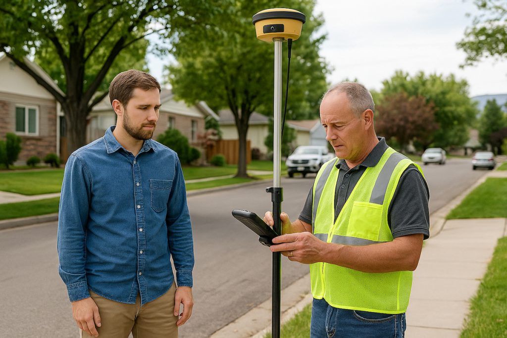
One of the primary benefits of drone mapping is its ability to capture highly accurate and detailed data. Drones equipped with advanced imaging sensors and cameras can capture high-resolution aerial photographs and collect precise data points. This allows surveyors to obtain a comprehensive and accurate representation of the surveyed area, including terrain, structures, and other features.
Efficient and Time-Saving Surveys
Drone mapping significantly reduces the time and effort required to conduct surveys compared to traditional ground-based methods. Drones can cover large areas in a fraction of the time it would take for surveyors to traverse the same terrain on foot. With automated flight planning and advanced navigation systems, drones can efficiently capture data and complete surveys quickly, enabling surveyors to save valuable time and resources.
Enhanced Safety for Surveyors
Traditionally, surveyors often had to work in hazardous or hard-to-reach areas, such as steep slopes, construction sites, or dense vegetation. This posed risks to their safety and well-being. With drone mapping, surveyors can now collect data from a safe distance without physically entering potentially dangerous environments. Drones provide an added layer of safety by reducing the need for surveyors to work in high-risk areas, minimizing the chances of accidents or injuries.
Flexibility and Versatility
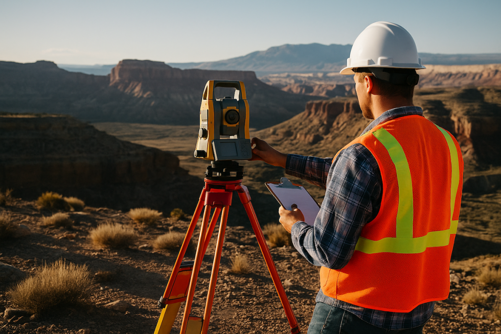
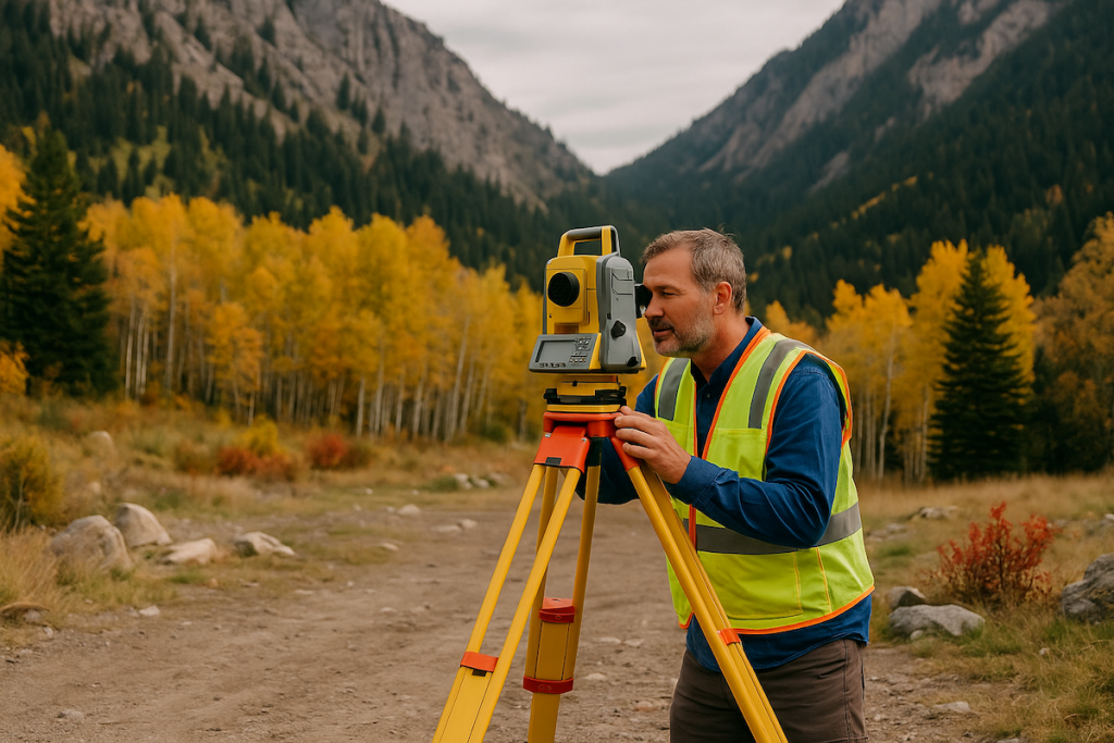
Drone mapping offers unparalleled flexibility and versatility in surveying projects. Drones can be deployed in various terrains, including rugged landscapes, inaccessible locations, or large-scale construction sites. They can easily adapt to different project requirements, whether it’s conducting topographic surveys, monitoring construction progress, or mapping extensive areas for land development. This flexibility allows surveyors to tackle diverse projects effectively and efficiently.
Cost-Effectiveness and Cost Savings
Drone mapping can also provide significant cost savings in surveying projects. Traditional surveying methods often involve manual labor, extensive equipment setups, and additional personnel. By employing drones, surveyors can streamline operations, reduce the need for multiple personnel, and eliminate the costs associated with on-site logistics. The efficiency and accuracy of drone mapping can lead to cost-effective project completion, benefiting both surveyors and their clients.
Improved Decision-Making and Collaboration
The detailed data captured through drone mapping enables surveyors to make informed decisions and collaborate effectively with stakeholders. The high-resolution aerial imagery and 3D models generated from drone surveys provide a comprehensive visual representation of the surveyed area. This helps stakeholders, such as architects, engineers, and developers, to gain better insights into the project site, identify potential challenges, and make informed design and planning decisions.
Conclusion
Drone mapping has become an indispensable tool in modern surveying practices. Its ability to capture accurate, high-resolution data, save time and resources, enhance safety, and improve decision-making has transformed the way surveys are conducted. By embracing drone technology, surveyors can unlock new possibilities, deliver more efficient results, and provide enhanced services to their clients.
For more information about drone mapping and its applications in land surveying, consider visiting the following external resources:
- DroneDeploy: A leading drone mapping software platform that provides valuable insights and solutions for surveyors and mapping professionals.
- Federal Aviation Administration (FAA) – Unmanned Aircraft Systems: The official website of the FAA’s Unmanned Aircraft Systems division, which provides regulations, guidelines, and safety information for drone operators.
- Geo-matching: An online platform that offers a comprehensive database of surveying and mapping equipment, including drones, software, and sensors.
If you require drone mapping services or have any questions about its applications in land surveying, contact us at Cook Surveying. Our experienced team is well-versed in drone mapping techniques and can assist you with your surveying needs.