Surveying is a diverse field that encompasses various techniques and applications, each suited to different needs and outcomes. From determining land boundaries to aiding in large-scale construction projects, surveyors employ a range of methods to gather essential data. This article explores the “7 types of surveys” used in land surveying, providing insights into how each method is used and its importance in areas such as Salt Lake City, Utah.
The Seven Main Types of Surveys
1. Boundary Surveys
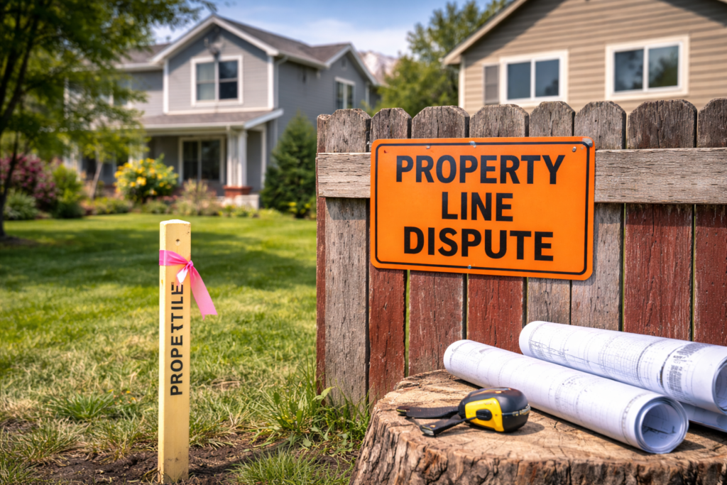
Boundary surveys are one of the most common types of surveying, used to determine the precise boundaries of a piece of property. This type of survey is critical in resolving property disputes, creating property deeds, and when buying or selling land. They involve researching historical documents and using physical markers to map out property lines.
2. Topographic Surveys
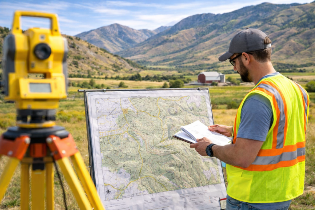
Topographic surveys are used to identify and map the contours of the ground and existing features on the surface of the earth. These surveys are essential for planning and design purposes in construction and for environmental restoration projects. They provide detailed information on elevation, trees, buildings, streets, manholes, retaining walls, and other features of the land. More on topographic surveys can be found on the US Geological Survey’s website.
3. Construction Surveys
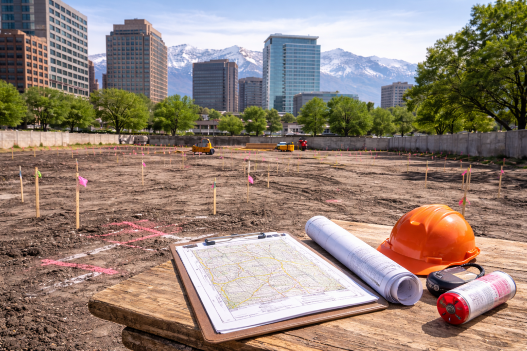
Construction surveys are used to stake out structures, including roads, buildings, and utilities. These surveys help ensure that projects are constructed in the correct location and built according to engineering design plans. They are vital for maintaining control over a construction project from start to finish.
4. ALTA/NSPS Land Title Surveys
An ALTA/NSPS survey is a comprehensive type of boundary survey developed by the American Land Title Association and the National Society of Professional Surveyors. It includes detailed information about property lines, easements, rights of way, and other elements that might impact land ownership. These surveys are often required for real estate transactions and to obtain title insurance. Further details are available on the ALTA’s official site.
5. Site Planning Surveys
Site planning surveys combine elements of boundary and topographic surveys to prepare for site development or design. These surveys are used by architects and engineers to create an initial design for a project and to obtain building permits. They are crucial in the planning phase of any development project.
6. Subdivision Surveys
Subdivision surveys are used to divide a tract of land into smaller lots. This type of survey is necessary when a landowner wishes to develop a piece of property and sell it in sections, typically for residential or commercial use. It involves creating a plat that shows street and lot layouts, which must comply with local zoning and planning regulations.
7. Hydrographic Surveys
Hydrographic surveys measure and describe features that can affect maritime navigation, marine construction, dredging, and other underwater activities. These surveys map underwater topography and may include the coastline, water depths, seabed material, and other relevant features like submerged obstacles. Additional information about hydrographic surveys can be found on the NOAA’s Office of Coast Survey website.
Importance of Different Survey Types in Urban Development
In urban areas like Salt Lake City, understanding the “7 types of surveys” is crucial for proper city planning, infrastructure development, and environmental management. Each type of survey provides specific data that helps engineers, architects, and planners make informed decisions that align with legal requirements and ensure the efficient use of resources.
Conclusion
The diverse types of surveys provide critical information for multiple industries and projects. Whether you are involved in property transactions, construction projects, or environmental conservation, understanding the appropriate survey type can lead to more precise outcomes and better project management.
For further exploration or professional surveying services, visit Cook Surveying.


