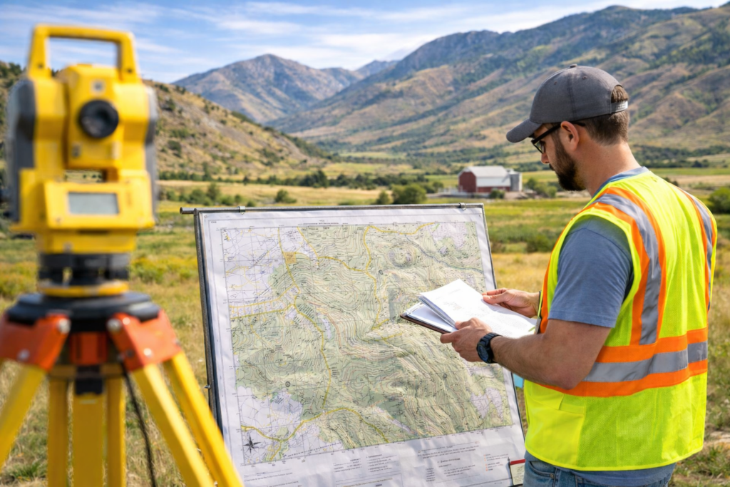
In the field of land surveying, color-coded markers play a crucial role in conveying specific information about the land. Blue flag markers are essential tools used by surveyors to indicate particular features or areas during site assessments. This article explores the significance of blue flag markers in land surveying, their typical uses, and why they are preferred for certain applications, especially in regions like Salt Lake City, Utah.
Understanding Blue Flag Markers
Definition and Material
Blue flag are small flags or stakes used in land surveying that are colored blue to stand out against natural landscapes. These markers are usually made from weather-resistant materials such as vinyl, metal, or cloth to ensure durability and visibility in various environmental conditions.
Common Uses of Blue Flag Markers
Water Resources Indication
- Aquifers and Wells: Blue markers may indicate underground water sources or well sites.
- Wetlands and Water Bodies: Surveyors use blue flags to outline boundaries of wetlands, streams, or lakes. For guidelines on environmental markers, check the Environmental Protection Agency’s site.
Utility Mapping
- Pipes and Hydrants: These markers help in identifying the locations of pipelines, particularly those carrying water. For more on utility mapping standards, see the American Public Works Association.
Importance in Environmental and Urban Planning
Regulatory Compliance
- Environmental Impact Assessments: Blue markers are essential for delineating environmentally sensitive areas to ensure that development projects do not disrupt these habitats.
Safety and Clarity
- Visibility: Their distinctive color helps in preventing accidental disturbances to key water resources and utility lines.
- Communication: They serve as a non-verbal communication tool among various stakeholders involved in a project. Learn more about communication in surveying at Cook Surveying’s Communication Tools.
Conclusion
Blue flag markers are indispensable in land surveying, especially for projects involving water resources and utility mapping. Their use ensures that surveyors and project teams have clear, accurate information about critical environmental features and infrastructure, facilitating better planning and compliance with regulatory standards.


