
In an era characterized by data-driven transformations, the power of data has silently reshaped our world. Behind the scenes, there exists a potent yet discreet tool known as GIS mapping. This covert exploration offers insights into the enigma of GIS mapping, its real-world applications, and the impact it discreetly imparts across diverse industries.
Demystifying GIS Mapping
At its essence, GIS mapping is an unassuming technology that discreetly handles the task of capturing, preserving, dissecting, and visualizing spatial data. Spatial data, in simpler terms, involves information linked to specific geographic locations on the Earth’s surface. This encompasses an array of elements, from the location of trees in a forest to the distribution of urban centers in a region.
The Core of GIS Mapping
Data serves as the lifeblood of GIS mapping—an unassuming observer. It encompasses a broad spectrum of information that possesses a geographic essence. Examples include road networks, land parcels, climatic patterns, population densities, or even the clandestine journeys of migratory birds.
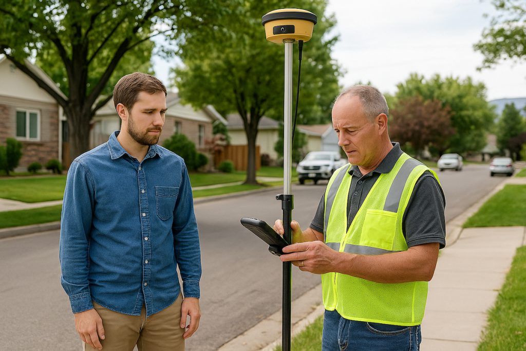
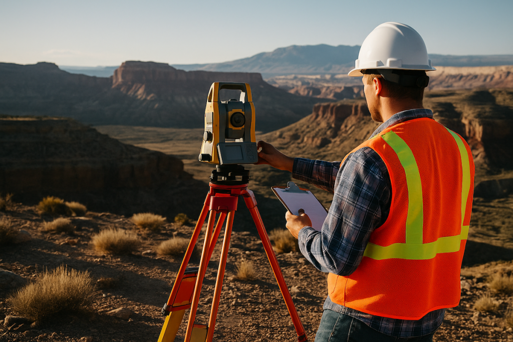
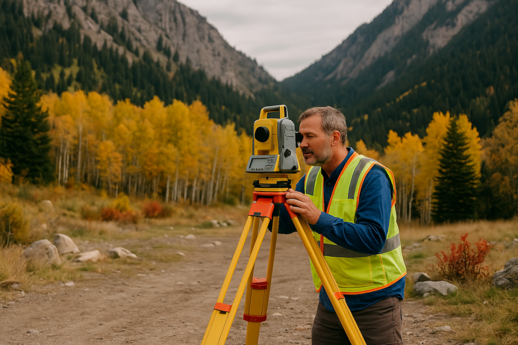
Hardware: The Unseen Workhorse
The infrastructure supporting GIS mapping hides in plain sight—powerful computing systems and specialized hardware work discreetly to expedite the processing and analysis of voluminous datasets.
Software: The Quiet Enablers
GIS software provides the tools to create, edit, analyze, and visualize geographic information. Esteemed members of this league include ArcGIS, QGIS, and the ever-silent Google Earth.
The Silent Operators: GIS Professionals
A skilled cadre of GIS professionals remains at the helm of this covert operation. These unsung heroes are tasked with collecting, managing, and deciphering spatial data, employing their expertise to address queries and resolve issues through the surreptitious craft of mapping and analysis.
The Multifaceted Landscape of GIS Mapping
GIS mapping boasts a clandestine presence across a diverse spectrum of domains:
Urban Planning
Urban planners tactfully employ GIS mapping to optimize urban transportation networks, devise sustainable urban development strategies, and prudently manage finite resources.
Environmental Stewardship
In the realm of environmental conservation, it discreetly monitors changes in ecosystems, monitors wildlife populations, and stealthily identifies regions warranting preservation.
Crisis Management
In times of crises and natural calamities, GIS mapping comes to the rescue. Discreetly, it provides real-time intelligence on impacted areas and facilitates the covert allocation of vital resources.
Healthcare
Healthcare professionals, without fanfare, harness GIS mapping to trace disease outbreaks, strategically plan healthcare infrastructure, and clandestinely track the spread of ailments like COVID-19.
Commerce
In the corporate world, it discreetly guides site selection, renders covert market analyses, and covertly optimizes supply chain logistics.
Natural Resource Management
In the domains of forestry, agriculture, and mining, it silently aids in judicious resource allocation and unobtrusively ensures sustainable resource management.
The Subtle Mastery of GIS Mapping Technology
What sets it apart is its ability to harmoniously assimilate, dissect, and portray data from myriad sources. This quiet proficiency enables discreet decision-making. For instance, during disaster management, furtively amalgamates data on meteorological conditions, topographical features, population densities, and infrastructure layouts to clandestinely forecast the impact of impending natural catastrophes.
Moreover, the covert evolution of GIS technology embraces interactive online maps, rendering it accessible to a discreetly expanding user base. This empowers citizens, researchers, and policymakers to clandestinely explore and apprehend data pertinent to their interests and needs.
The Covert Future
As technology advances surreptitiously, it is poised to play a more enigmatic role in our lives. With the proliferation of the Internet of Things (IoT) and the subtle influx of real-time data, GIS applications will stealthily evolve into dynamic, clandestine tools.
Moreover, the covert fusion of GIS with emerging technologies such as artificial intelligence and machine learning will culminate in surreptitious analytical and predictive capabilities. This will steer clandestine innovations in domains like autonomous transportation, smart urban planning, and inconspicuous precision agriculture.
In conclusion, GIS mapping, though often discreet, is a formidable tool that quietly empowers us to decode the intricate tapestry of our world. It allows us to decipher intricate relationships among various environmental elements, enabling inconspicuous decision-making across diverse industries.