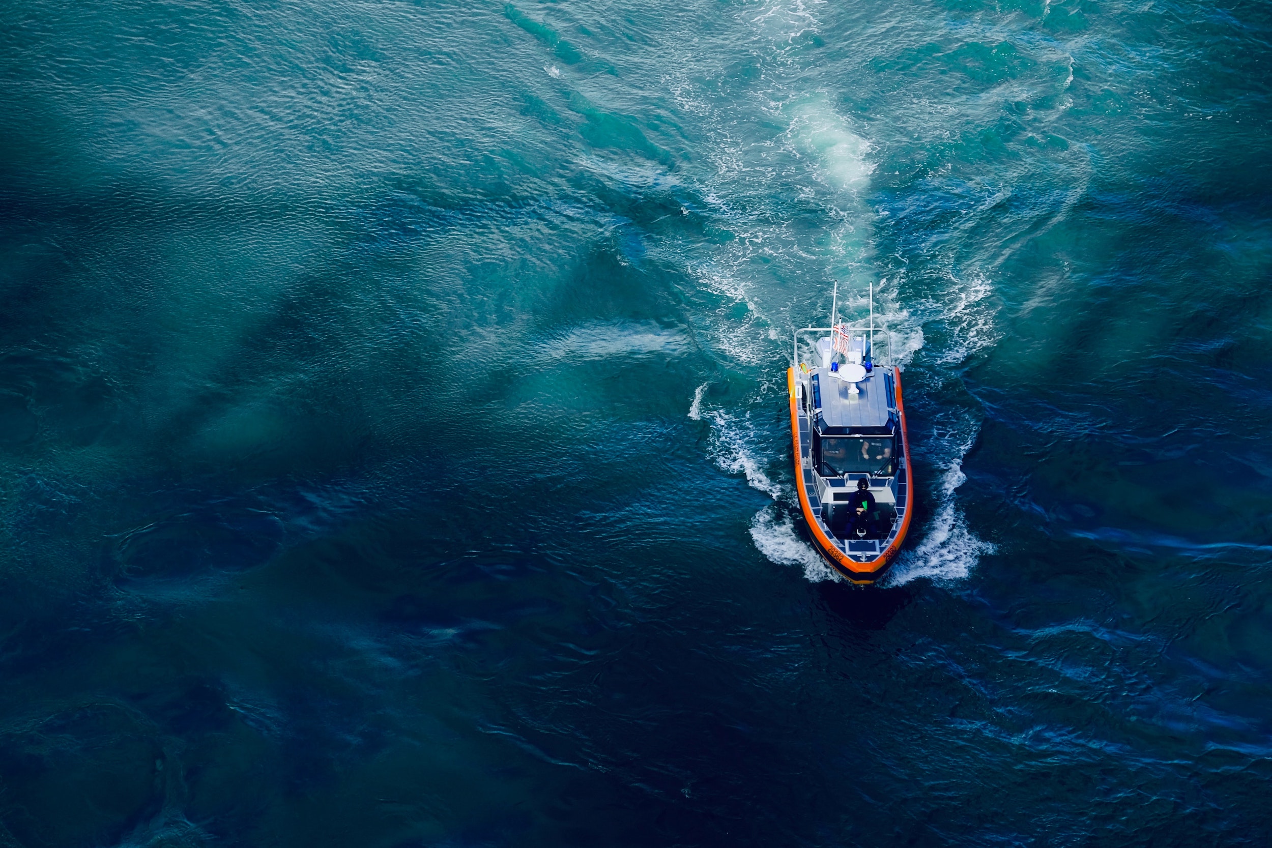
Hyrdographic Surveying

Cook Surveying & Associates provides hydrographic surveying services to profile stream, river or lake bottoms. Real-Time Kinematic Differential Global Positioning Systems (RTK-DGPS) in conjunction with the Seafloor Hydrolite-TM system is used to provide centimeter-accurate vertical and horizontal data.
Hydrographic sonar equipment emits a sound that travels to the bottom of the body of water and then bounces back to the sounder at the surface; the delay in the sounds’ return to the surface is translated into water depth. Hydrographic Surveys provide clients with an accurate relief map of the pond bed, lake bed, river bed, or other areas of interest.
• GPS Antenna
• Dredged Materials Volume Calculation
• Marina Management
• Transducer
• Pipeline River and Lake Crossings
• Volumetric Calculations
Hydrographic Surveying Services
At Cook Surveying & Associates, we specialize in delivering precise hydrographic surveying services tailored to profile stream, river, or lake bottoms. Our advanced approach utilizes Real-Time Kinematic Differential Global Positioning Systems (RTK-DGPS) in conjunction with the cutting-edge Seafloor Hydrolite-TM system, ensuring centimeter-accurate vertical and horizontal data.
Our hydrographic surveying process involves the use of hydrographic sonar equipment. This specialized equipment emits a sound signal that travels to the bottom of the body of water and subsequently bounces back to the sonar device at the surface. The precise delay in the sound’s return to the surface is meticulously measured and translated into accurate water depth data.
The result is a comprehensive hydrographic survey that provides our clients with an exceptionally detailed relief map of the pond bed, lake bed, river bed, or any other areas of interest beneath the water’s surface. This data is invaluable for a wide range of applications, including environmental assessment, infrastructure development, and navigation planning.
With Cook Surveying & Associates as your hydrographic surveying partner, you gain access to a wealth of expertise and cutting-edge technology. We are dedicated to delivering data that is not only accurate but also actionable, helping you make informed decisions for your projects.
Additional Services

Surveying

Drone Mapping

GIS/MAPPING

ILI Tracking

