
Take a look into the fascinating evolution of land surveying technology, starting from ancient tools and going up to modern electronics. Dive into the history and future of building and land technology with this comprehensive article.
Land surveying has been an important aspect of human civilization since ancient times. From the earliest civilizations of Mesopotamia, Egypt, and Rome, man has used tools to measure and keep boundaries to separate himself from his neighbors. While the use of such tools was lost in the Middle Ages, the Renaissance saw a resurgence in interest and need for surveying tools. In this article, we will discuss the evolution of land surveying technology from ancient tools to modern electronics.
The Chain and the Compass
In its earliest forms, one of the main tools for conducting land surveys was a chain (sometimes known as Gunter’s chain) of a specific length. These chains would be pulled taut, and attempts were made to hold the measure level to improve accuracy. Leaps and bounds in accuracy in surveying were made with the introduction of such equipment as the surveyor’s compass and theodolite.
The surveyor’s compass, or circumferentor, consisted of a brass circle and an index with a compass on it. It was used to measure horizontal angles. A theodolite could measure both horizontal and vertical angles. Because of the greater accuracy, theodolite was the preferred tool for surveyors throughout Europe by the early 1800s. However, the surveyor’s compass was still used in heavily wooded areas, leading to its resurgence in popularity during the Colonial period in the United States.
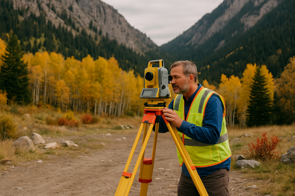
Modern Electronics
More sophisticated versions of theodolites were still being used as late as the 1990s for simple surveys, along with other equipment to improve accuracy. More recently, modern electronics have improved on the theodolite with the addition of an electronic distance measurement device, or EDM. These tools are referred to as total stations and have gone from being mechanical/electronic devices to purely electronic systems with onboard computers and software.
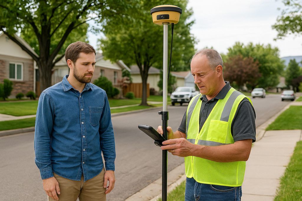
Global Positioning Systems (GPS)
As Global Positioning Systems (GPS) have gained widespread use in the private sector, they have also predictably entered the arena of land surveying. However, GPS systems are not always as accurate as the surveyor would wish, with a horizontal accuracy of only 20mm and vertical accuracy of about 30mm. Additionally, GPS systems have problems functioning properly in heavily wooded areas. In many cases, surveyors still rely on their total stations in conjunction with other equipment such as laser scanners. Where the budget is large enough, a helicopter equipped with a GPS system can verify the findings on the ground.
Conclusion
While the technology used by land surveyors has been changing and moving forward by leaps and bounds in the last 25 years, even the most advanced technology can only do so much. Land surveying remains an art, and the expertise of the surveyor cannot be replaced by technology. The surveyor must investigate and infer the true boundaries of any property by using both the technological and historical information they have at hand.