Land surveying is an integral part of civilization, crucial for defining property boundaries, planning cities, and constructing infrastructure. But who invented land surveying? This exploration takes us thru the history of land surveying, back to ancient times, highlighting the pioneers of surveying and the evolution of their techniques that have shaped modern practices, particularly as they relate to projects in regions like Salt Lake City, Utah.
The Ancient Roots of Land Surveying
Early Civilizations and Land Surveying
The invention of land surveying is not attributed to a single individual but developed independently across various ancient civilizations:
- Ancient Egypt: Egyptians are among the earliest known to use surveying for re-establishing farmland boundaries annually after the flooding of the Nile. They developed geometry primarily for this purpose.
- Babylon: The Babylonians, with their advanced understanding of measurements, used surveying to divide land and define boundaries.
For a deeper look into the surveying practices of ancient Egypt, resources available on the Smithsonian Institution’s website provide detailed insights into their innovative techniques.
Contributions from Ancient Greece and Rome
- Greece: Greek surveyors advanced the field by formalizing its methods and integrating mathematical concepts, which were crucial for the development of urban planning.
- Rome: Romans took surveying to new heights with the creation of the Groma, an instrument used for aligning roads and aqueducts, essential for their expansive territorial development.
Innovations Through the Middle Ages to the Renaissance
The Role of Prominent Historical Figures
- Middle Ages: During this period, land surveying continued to evolve, particularly in Europe, where it was used to settle land disputes and for tax purposes.
- Renaissance: This era saw significant advancements with figures like Leonardo da Vinci who contributed to surveying technology.
Exploring the historical advancements during the Renaissance, the Metropolitan Museum of Art’s website offers insights into how Renaissance innovations influenced modern surveying.
Land Surveying in the Modern Era
The Birth of Modern Techniques
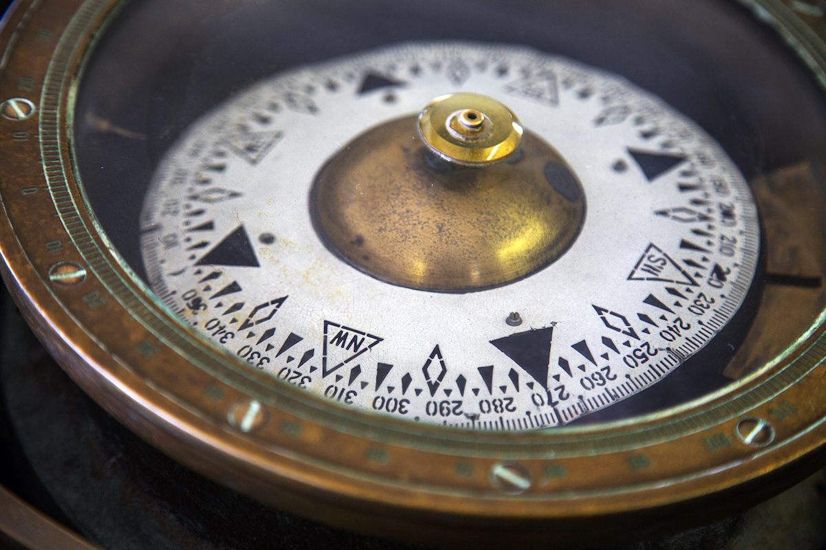
- 18th and 19th Centuries: The development of more precise surveying tools, such as the theodolite, revolutionized land surveying by increasing the accuracy of measurements.
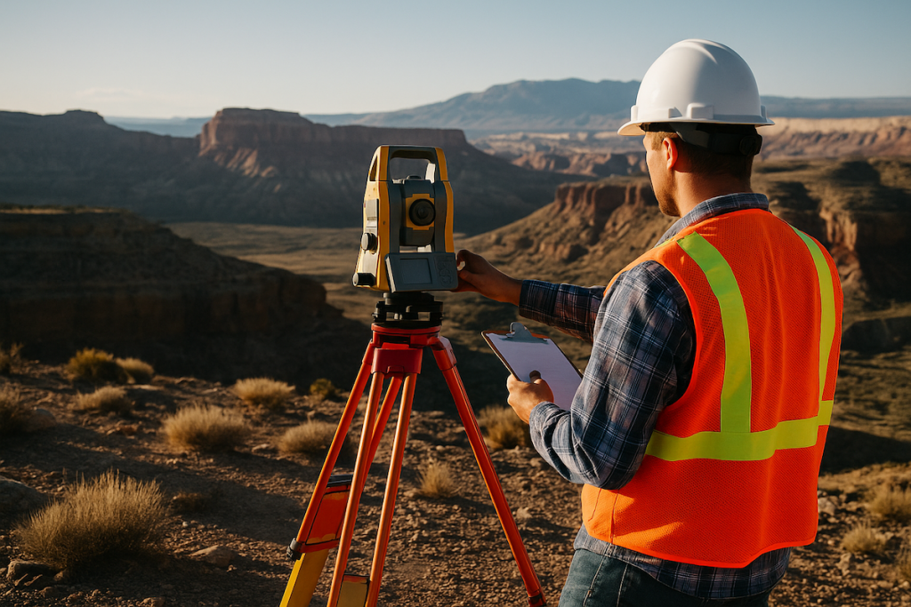
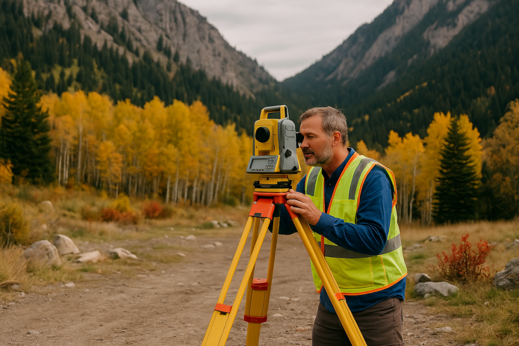
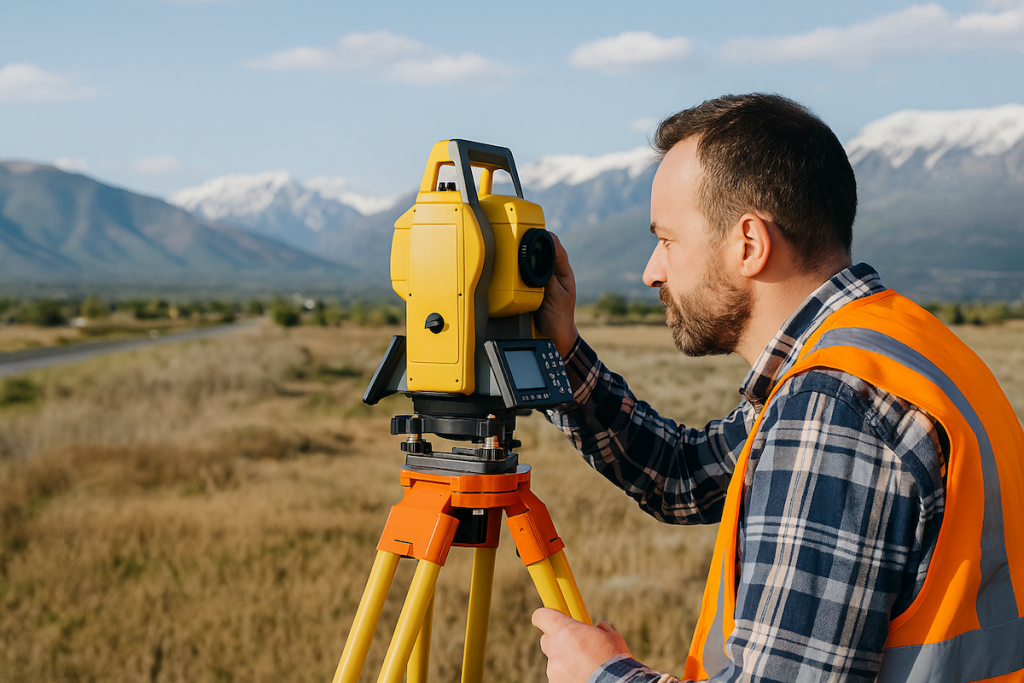
- 20th Century: The introduction of electronic distance measurement (EDM) devices and, later, GPS technology transformed the landscape of surveying, leading to the high precision techniques we see today in Salt Lake City and around the world.
Conclusion from the History of Land Surveying
While no single inventor can be credited with the creation of land surveying, the field owes its development to the contributions of many cultures and innovators through the centuries. From the ancient Egyptians to the technological advancements in the modern era, land surveying has been a cornerstone of human development. Today, in places like Salt Lake City, Utah, land surveyors like those at Cook Surveying rely on this rich history and the advancements in technology to provide precise and reliable services.


