
Surveyors play a crucial role in gathering precise measurements and collecting data for various projects, including land development, construction, and infrastructure planning. To carry out their tasks effectively, surveyors rely on a range of specialized equipment designed to provide accurate measurements and detailed information about the land. In this article, we will explore the essential equipment frequently used by surveyors and their significance in ensuring precise surveying results.
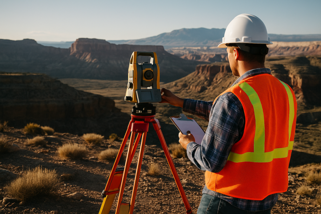
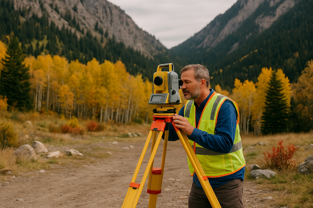
Total Stations: The Swiss Army Knife of Surveying
Total stations are advanced surveying instruments that combine an electronic theodolite and an electronic distance measuring device (EDM). These versatile tools enable surveyors to measure both angles and distances simultaneously, allowing for precise calculations of coordinates, elevations, and angles. Total stations are essential for conducting topographic surveys, boundary determinations, and construction layout tasks. With their ability to communicate wirelessly and store data, modern total stations have revolutionized the surveying process, enhancing efficiency and accuracy.
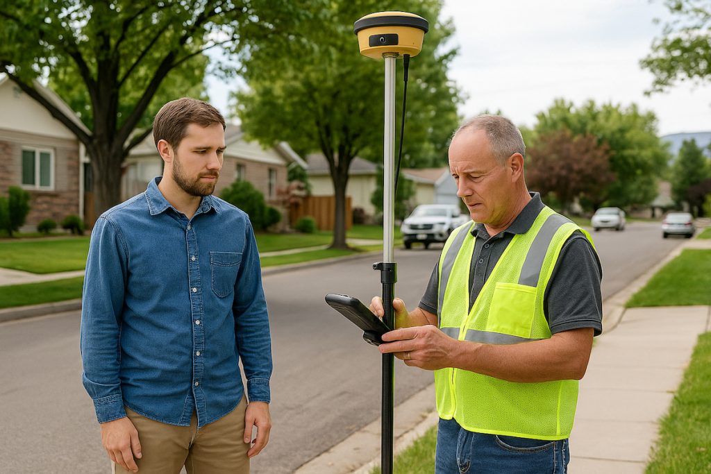
Global Positioning System (GPS): Accurate Positioning Made Easy
Global Positioning System (GPS) technology has become an indispensable tool for surveyors, enabling them to obtain highly accurate positioning information. GPS receivers receive signals from multiple satellites to determine precise coordinates and elevations. Survey-grade GPS receivers provide centimeter-level accuracy, making them ideal for surveying large areas or areas with limited access. GPS technology significantly enhances efficiency, allowing surveyors to collect vast amounts of data quickly and accurately.
Robotic Total Stations: Precision with Automation
Robotic total stations take the capabilities of traditional total stations to the next level by adding automation. These advanced instruments can be operated remotely or programmed to perform measurements and data collection automatically. Robotic total stations eliminate the need for a surveyor to physically operate the instrument, improving efficiency and reducing human errors. They are especially valuable in projects that require repetitive or time-consuming measurements.
Laser Scanners: Capturing Detailed 3D Data
Laser scanners use laser beams to rapidly capture highly detailed 3D data of the surrounding environment. These devices emit laser pulses and measure the time it takes for the pulses to return, creating accurate point clouds that represent the surveyed area. Laser scanners are particularly useful for capturing complex geometries, detailed terrain information, and as-built conditions. They enable surveyors to create precise 3D models and perform comprehensive analysis for various applications, including architectural design, volumetric calculations, and heritage preservation.
Conclusion
In conclusion, the equipment used by surveyors plays a crucial role in ensuring accurate measurements and detailed data collection. Total stations, GPS technology, robotic total stations, and laser scanners are among the essential tools that enable surveyors to carry out their tasks with precision and efficiency. By leveraging these advanced instruments, professional surveyors can provide accurate surveying results that are vital for successful project planning, construction, and land development.