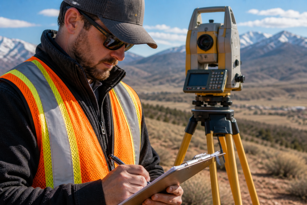
Owning or improving property in Utah means dealing with more than beautiful views. Whether you’re putting up a fence, planning an addition or buying a new parcel of land, you need to know exactly where your rights and responsibilities begin and end. That’s where land surveying comes in. Cook Surveying & Associates has been helping Utahns since 2001 by providing accurate boundary data, detailed maps and professional insight for projects of all sizes. Their services cover the entire state from their Salt Lake City headquarters, so no matter where you live, from St. George to Cache Valley, you can tap their expertise.
In this article we’ll demystify the major types of land-surveying services available in Utah. We’ll explain what each survey does, when homeowners might need one, and why hiring a licensed surveyor is essential for peace of mind.
Why land surveys matter for homeowners
A professional land survey isn’t just a formality; it’s a legal tool that protects your property rights and your wallet. Here are some reasons homeowners in Utah turn to surveyors:
- Avoiding boundary disputes: Fence lines built off course, conflicting deeds and undocumented easements are common causes of boundary disagreements. A survey establishes exact property lines and provides evidence if disagreements arise.
- Meeting permit requirements: Many Utah cities and counties require a current survey before issuing building permits for additions, garages or new construction. Surveys ensure you comply with setback rules and don’t accidentally build on your neighbor’s land.
- Satisfying lenders and insurers: Mortgage companies and title insurers often insist on a survey to confirm legal boundaries, reveal encroachments and identify easements.
- Identifying easements and rights‑of‑way: Surveys can uncover utility easements or rights‑of‑way that affect how you can use your land.
- Planning improvements: Accurate elevation and topographic data help architects and builders design foundations, drainage systems and landscaping that fit your site’s terrain.
In short, a Boundary surveys: defining what you own
A boundary survey identifies the exact corners and property lines of your parcel. Surveyors research deeds, locate existing markers and use precise instruments to measure and mark the boundaries. For homeowners, boundary surveys are most commonly needed when:
Building fences or walls: Misplaced fences can lead to costly disputes or forced removal. Knowing where your boundaries lie before digging post holes prevents headaches.
Buying or selling property: Buyers use boundary surveys to confirm they are getting what they pay for, while sellers use them to prevent post‑closing disputes.
Settling neighbor disagreements: When property descriptions conflict or encroachments are suspected, a boundary survey provides legally defensible evidence.
A boundary survey usually ends with corner markers being set or located and a plat showing bearings, distances and adjoining properties. This document becomes part of your permanent records and can be filed with the county recorder. professional survey gives you c
Topographic surveys: understanding the lay of the land
Unlike boundary surveys, topographic surveys focus on the physical features of your property—both natural and man-made. A surveyor uses GPS, total stations or drones to create a map showing elevation changes, slopes, trees, drainage swales, buildings and utilities. This information is essential for:
Complying with permit and zoning requirements. Many Utah municipalities require topographic data as part of site-plan submissions.onfidence before you invest in improvements or transactions.
Designing driveways, foundations and landscaping. Knowing where hills and low spots are helps architects and engineers minimize grading costs and avoid drainage problems.
Planning drainage and flood protection. Topographic surveys identify natural drainage patterns so you can design storm-water management systems and stay out of flood-prone areas.
ALTA/NSPS surveys: going beyond the basics
An ALTA/NSPS land title survey is the gold standard for commercial real estate transactions and complex property transfers. It combines boundary information with a detailed inventory of improvements, easements, encroachments and zoning restrictions. Although homeowners rarely need a full ALTA survey, you might encounter one if:
- You’re buying a multi-unit property or large estate with multiple buildings.
- A lender or title insurer requests additional detail because of unclear records or a high-value transaction.
If a full ALTA isn’t necessary, an enhanced boundary survey may suffice to reveal easements and encroachments.
Construction staking: turning plans into reality
After the architect’s plans are drawn and the permits are approved, construction staking translates paper drawings into physical marks on your site. Surveyors set stakes that show builders where to place foundations, utilities, roads and other features. Homeowners benefit from construction staking when:
- Building a new house or major addition.
- Installing driveways, garages or detached structures.
- Ensuring that contractors follow approved plans and setback requirements.
Precise staking reduces the risk of costly mistakes and rework, keeping your project on schedule and within budget.
Subdivision surveys: dividing land legally
If you plan to split your property into two or more lots—for example, creating a separate parcel for a family member or for sale—a subdivision survey (also called a plat survey) is required. A surveyor lays out the new lot lines, roads and easements, ensuring compliance with county regulations. Without a properly recorded plat, you may struggle to get building permits or sell the new lots.
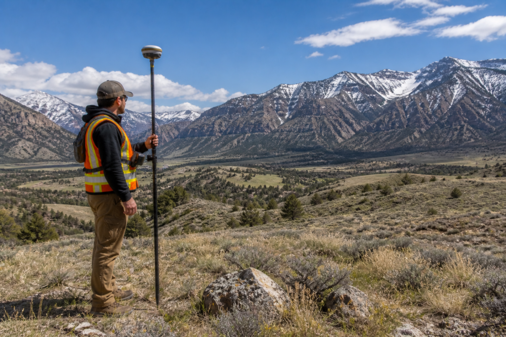
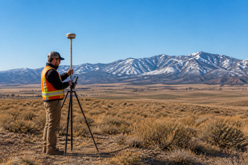
Drone and GPS-based surveys: modern tools for better results
Traditional surveying often involves crews with tripods and measuring tapes, but modern technology is transforming the industry. Cook Surveying uses unmanned aerial vehicles (UAVs) and global positioning systems (GPS) to collect data quickly and safely. Drone mapping offers high-resolution imagery and dense point clouds, which can be processed into accurate elevation models and orthophotos. GPS and robotic total stations improve precision and efficiency in the field. For homeowners, these technologies mean:
- Faster turnaround times for survey results.
- Better visualization of your property, including 3D models.
- Reduced need for survey crews to access difficult or sensitive terrain.
Hydrographic surveys: looking below the waterline
While most residential projects focus on land, some properties in Utah include ponds, streams or lakefront. Hydrographic surveys use sonar equipment and RTK-GPS to map the underwater contours of rivers, lakes and reservoirs. Knowing the depth and shape of a water body can help you:
- Design docks, retaining walls or shoreline improvements.
- Assess sediment buildup and plan dredging.
- Understand flood risks and water storage capacity.
If your property includes waterfront or if you manage irrigation ponds, a hydrographic survey may be necessary before making changes.
How to choose the right survey for your project
Not sure which type of survey you need? Ask yourself the following questions:
- What is my project goal? Buying a home? A boundary survey is a starting point. Building on sloped land? You’ll need topographic data.
- Do legal documents require a specific survey? Title companies or lenders may require an ALTA survey for certain transactions.
- Will I be splitting property? A subdivision or plat survey is legally mandated.
- Is the site complex or inaccessible? Consider drone or GPS-based surveys for efficiency and safety.
When in doubt, consult a licensed surveyor who can recommend the appropriate level of service based on your situation and local regulations.
Why hire a licensed Utah surveyor?
Land surveying is a regulated profession in Utah. According to the Utah County Surveyor’s office, only a licensed land surveyor can legally perform a survey—engineers or contractors may only do so if they hold a surveyor’s license. Hiring a licensed professional ensures that:
- Your survey meets state standards and is legally defensible in court.
- The surveyor’s work is subject to a code of ethics and professional oversight.
- Survey documents can be recorded with county offices and relied upon by lenders and attorneys.
Always verify the surveyor’s license through Utah’s Division of Occupational and Professional Licensing (DOPL).
Final thoughts
Land surveying may seem technical, but it plays a practical role in protecting your investment. From defining your property lines and mapping elevation to uncovering easements and guiding construction, surveys give you the information you need to plan confidently. Cook Surveying & Associates offers a full suite of services—from boundary and topographic surveys to hydrographic and drone mapping—across all of Utah. Their licensed professionals combine decades of experience with cutting-edge technology to deliver accurate results on time.
If you’re considering a project or property transaction, don’t leave it to guesswork. Contact Cook Surveying today for a consultation and ensure your decisions are built on solid ground.