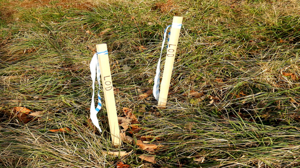
In In the world of real estate and land development, terms like “plot” and “survey” are often used, but not always understood. Both are fundamental to how land is viewed, utilized, and transacted, yet they serve different purposes and are defined distinctly. This article explores the “plot vs survey” differences, clarifying how each relates to land use and management, particularly for those in regions like Salt Lake City, Utah.
Defining a Plot and a Survey
What is a Plot?
A “plot” refers to a marked-off area of land that is intended for a specific use, such as building a house or another type of development. It is essentially a piece of land that has been mapped out for sale, lease, or development purposes. Plots are typically defined by:
- Designated Boundaries: Clearly marked for individual ownership or specific developmental use.
- Legal Documentation: Often documented in property deeds that specify the dimensions and location of the plot within a larger tract of land. More information on how plots are defined can be found through the Bureau of Land Management.
What is a Survey?
A “survey,” on the other hand, is a comprehensive process conducted by professional land surveyors that involves mapping and documenting land. It includes measuring the dimensions, boundaries, and topographical features of land parcels. Surveys are crucial for:
- Legal Accuracy: Ensuring that property boundaries are accurately depicted to prevent disputes.
- Development Planning: Aiding architects and engineers by providing detailed information about the terrain and its suitability for various uses. The National Society of Professional Surveyors offers resources on the various aspects of land surveying.
Key Differences Between a Plot and a Survey
Purpose and Usage
- Plot: A plot is essentially a portion of land that has been or will be owned by an individual or entity. Its main purpose is to define a piece of land for ownership or development.
- Survey: A survey is a detailed examination and mapping of an area, used to establish official land records, help in the planning stages of projects, and ensure proper legal documentation. Understanding the “plot vs survey” distinctions can significantly impact real estate and land development strategies.
Tools and Documentation
- For Plots: The focus is on the demarcation and legal recording of the land’s boundaries as per the owner’s title or a subdivision map.
- For Surveys: Utilizes tools like theodolites, GPS devices, and drones to capture detailed data. The results of a survey are often documented in survey reports and plat maps, which are used for official and legal purposes. Detailed descriptions of modern surveying tools can be explored at Esri’s official GIS mapping site.
Importance in Real Estate and Development
When Do You Need a Plot?
- Real Estate Transactions: When purchasing land, the plot details help define exactly what is being bought or sold.
- Development Projects: Developers use plot information to plan constructions and ensure the proper use of the space according to zoning laws.
When Do You Need a Survey?
- Before Purchasing Land: To verify the accuracy of property lines and avoid future disputes.
- During Construction: To guide the development process, ensuring that all constructions are built within designated boundaries and comply with local regulations.
Conclusion
Understanding the difference between a plot and a survey is crucial for anyone involved in land transactions or development. While a plot outlines a specific area for ownership or development, a survey provides a detailed and accurate description of the land’s characteristics. Both are integral to the proper management and utilization of land resources, especially in urban areas like Salt Lake City where precision in land use is essential.
For professional surveying services that can help distinguish between these crucial aspects, visit Cook Surveying.


