In the realm of land surveying and property planning, particularly in regions like Salt Lake City, Utah, understanding the distinction and practical applications of a plat and a survey is vital. While both serve essential purposes in the land development process, determining whether a plat is better than a survey depends on the specific needs of a project. This article will explore the functions and benefits of both plats and surveys to help you decide which is more suitable for your situation.
Plats Explained: The Blueprint of Development
What is a Plat?
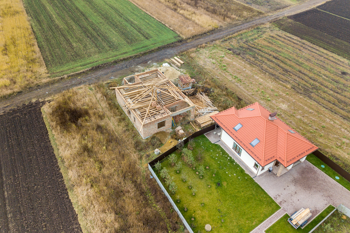
A plat is a detailed map that represents a tract of land, including its divisions into lots, streets, and public areas, often used in the planning and approval stages of land development projects.
- Purpose and Use: Plats are primarily utilized for legal and official purposes, such as recording at a local government office and establishing legal lot boundaries in a subdivision.
- Benefits: They provide a clear and organized representation of land division, essential for developers, municipalities, and the recording of property deeds.
To understand the legal implications of plats, visiting sites like the American Planning Association can offer valuable insights.
Surveys Detailed: The Precision of Measurement
What is a Survey?
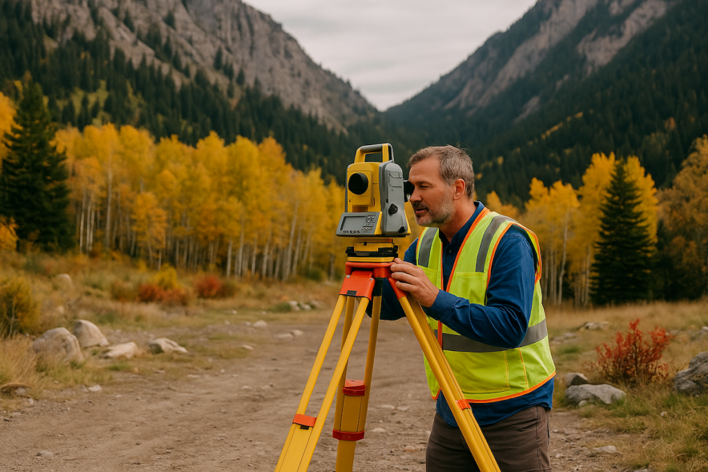
A survey, on the other hand, is a comprehensive process conducted by professional land surveyors to determine the exact boundaries and topographical features of a parcel of land.
- Purpose and Use: Surveys are used to confirm property lines, identify potential encroachments, and assist in resolving disputes or in the planning of construction projects.
- Benefits: They provide accurate, on-the-ground data that is crucial for legal, construction, and property management decisions.
Comparing Plat and Survey: Tailored to Needs
Project-Specific Requirements
Choosing between a plat and a survey depends on the project’s requirements and the detail of information needed:
- For Legal and Development Planning: A plat may be more beneficial for subdividing land, establishing legal lot boundaries, and planning community layouts.
- For Accuracy and Dispute Resolution: A survey is better suited for determining precise land boundaries, identifying encroachments, and providing detailed topographical data.
Professional Guidance in Utah
Consulting with Experts
Professional land surveyors in Utah, like those at Cook Surveying, can provide expert advice on whether a plat or a survey is more appropriate for your specific needs, considering the legal, developmental, and geographical factors at play.
Conclusion: Determining whether a plat is better than a survey hinges on the specific requirements of your land project and the level of detail needed. While plats offer a broad, legal overview of land division, surveys provide detailed, precise measurements and features of a property. Understanding the purpose and benefits of each can guide you in making the most informed decision for your land in Salt Lake City, Utah, or anywhere else your property may be located.
External Links:
- National Society of Professional Surveyors for standards and practices in surveying.
- Bureau of Land Management for federal land management and survey information.
- Utah Division of Real Estate for state-specific regulations and guidance on land development and surveying.


