
In today’s tech-driven world, smartphones have become indispensable tools for various tasks, including navigation and measurement. This raises an interesting question for property owners and prospective buyers in places like Salt Lake City, Utah: Can you use your phone to find your property lines? This article delves into the capabilities and limitations of using smartphone technology for land surveying and the importance of professional survey services for accurate property delineation.
Smartphone Capabilities in Land Surveying
GPS Technology and Mapping Apps
Modern smartphones are equipped with GPS technology, enabling them to provide location data. Various mapping apps claim to offer solutions for identifying property lines:
- These apps can give a general idea of where property lines might lie.
- They are useful for preliminary assessments or personal understanding of property extents.
Accuracy and Limitations
While convenient, the accuracy of smartphones in determining precise property boundaries is limited:
- GPS accuracy on phones typically ranges, which may not meet the legal standards required for land surveying.
- Environmental factors like buildings or natural terrain can obstruct GPS signals, affecting accuracy.
For insights into GPS technology and its applications, consider visiting GPS.gov, which provides detailed information on the functionality and limitations of GPS.
The Need for Professional Land Surveying
Legal and Technical Requirements
Determining property lines accurately is crucial for legal, construction, and transactional purposes:
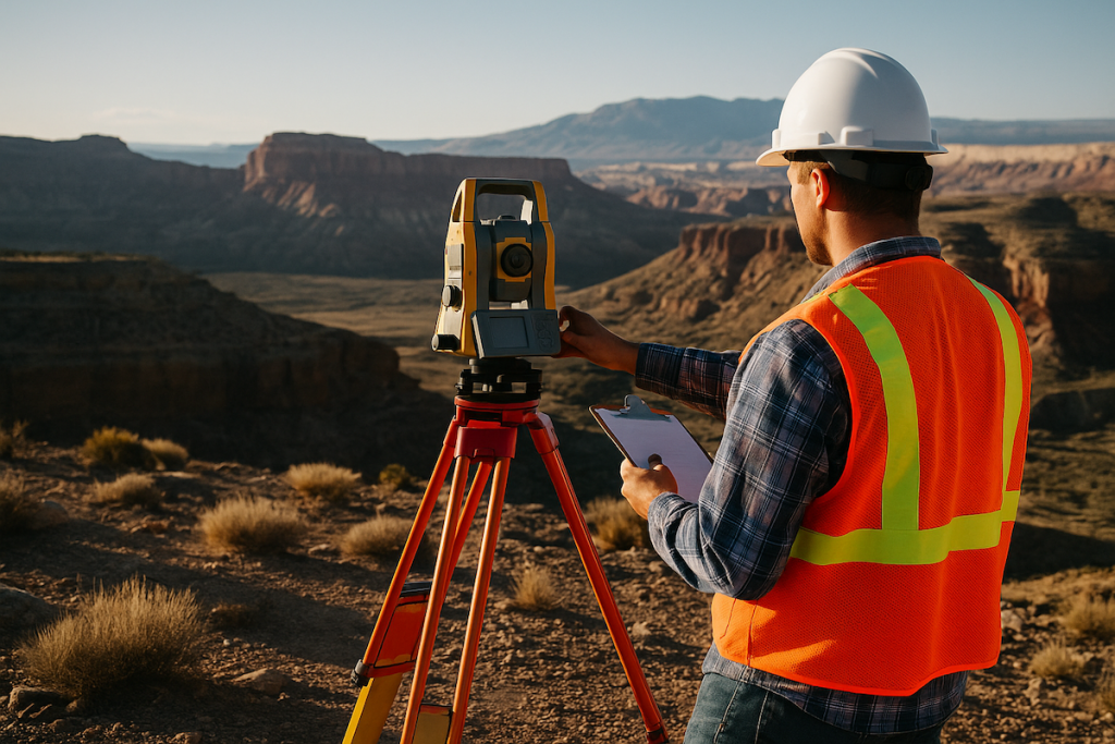
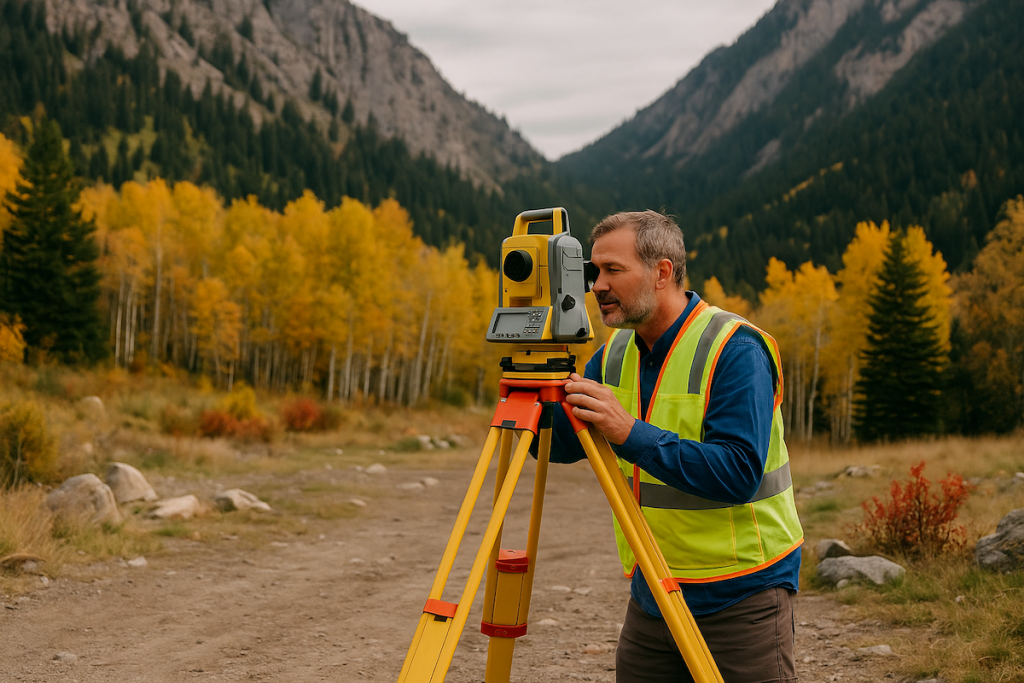
- Professional land surveys are conducted by licensed surveyors with the training and equipment necessary to ensure legal compliance and accuracy.
- Surveys provide a legal record of property boundaries, essential for resolving disputes, and facilitating real estate transactions.
Professional Survey vs. Smartphone Apps
While smartphone apps offer a quick and easy way to estimate property boundaries, they cannot replace the detailed and legally binding results provided by a professional land survey:
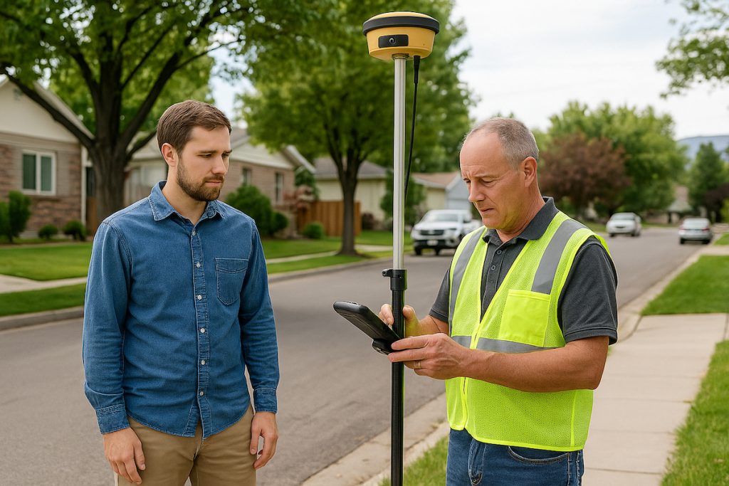
- Professional surveys use advanced equipment like total stations, GPS, and drones to achieve precise measurements.
- Surveyors in Salt Lake City understand the local geography and legal standards, ensuring accurate and reliable results.
Making the Right Choice for Your Property
When to Consider a Professional Survey
If you are making significant decisions based on property lines (such as building, fencing, or selling), investing in a professional survey is advisable to ensure accuracy and legal validity.
For those in Utah, Cook Surveying offers comprehensive land surveying services that provide the accuracy and legal assurance needed for any property-related project.
Conclusion: While smartphones can be a handy tool for a preliminary look at property boundaries, they fall short of providing the accuracy and legal standing needed for official purposes. For definitive and legally recognized delineation of property lines in Salt Lake City, Utah, professional land surveying services are essential. Utilizing the right tools and expertise ensures that property boundaries are accurately and legally defined, protecting your investment and rights as a property owner.
External Links: