Utah’s landscape is as diverse as it is beautiful—ranging from flat desert valleys to steep mountain slopes. This diversity often leads property owners and developers to ask: What is the importance of topographic surveys in Utah’s varied terrain? Whether you’re planning to build in Salt Lake City, develop land in Moab, or remodel a home in Park City, understanding elevation, slope, and surface features is crucial. In this article, we’ll explore why topographic surveys are an essential part of land development across the state.
What Is a Topographic Survey?
A topographic survey maps the natural and man-made features of a property. Unlike a boundary survey, which defines legal property lines, a topographic survey focuses on the physical characteristics of the land itself.
Key Elements Typically Included:
- Elevation changes (contours)
- Hills, slopes, and valleys
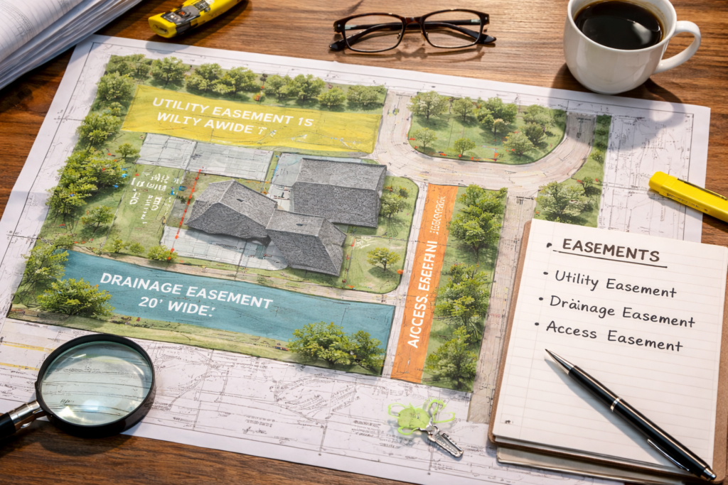
- Trees, vegetation, and water features
- Existing buildings, roads, and utilities
- Drainage paths and erosion zones
📌 Learn more from the American Society of Civil Engineers about how topographic data influences engineering design.
Why Utah’s Terrain Makes Topo Surveys Essential
1. Elevation Varies Dramatically
Utah properties can differ by hundreds or even thousands of feet in elevation within a single parcel. This affects everything from road design to foundation type.
2. Water Flow and Drainage
Topographic surveys help engineers and developers:
- Identify natural drainage patterns
- Avoid building in flood-prone areas
- Design sustainable stormwater systems
3. Slope Affects Stability
Steep slopes can pose:
- Landslide risks
- Difficulty in foundation placement
- Increased construction costs
📌 FEMA’s flood zone map is often used in conjunction with topo surveys to determine risk.
When Do You Need a Topographic Survey?
You should request a topographic survey in Utah when:
- Preparing for new construction or major renovations
- Designing driveways, roads, or drainage systems
- Planning utility or infrastructure installation
- Developing land in hilly, forested, or mountainous areas
- Submitting site plans to local building departments
How Topo Surveys Help in Construction and Development
Site Design and Layout
Architects and engineers use topo surveys to:
- Determine optimal building placement
- Minimize excavation and grading costs
- Ensure ADA and zoning compliance
Permitting and Zoning Approval
Most Utah municipalities require a topographic survey when submitting site development plans. This ensures:
- Structures won’t obstruct natural water flow
- Compliance with hillside ordinances or height restrictions
Environmental Impact and Conservation
Topographic surveys identify sensitive areas like wetlands or erosion zones. This allows developers to:
- Reduce environmental harm
- Plan around protected landscapes
What Does a Topographic Survey Involve?
- Field measurements using GPS and total stations
- A detailed CAD map with contour lines and symbols
- Coordination with boundary and utility surveys (if applicable)
- A digital report used by architects, engineers, and planners
📌 For more on modern survey tools, check out Trimble’s overview of survey equipment.
Conclusion: What Is the Importance of Topographic Surveys in Utah’s Varied Terrain?
To answer the original question—What is the importance of topographic surveys in Utah’s varied terrain?—they’re essential for accurate site design, stormwater planning, and zoning compliance. With Utah’s dramatic elevation changes and diverse geography, a topo survey provides the foundation for responsible, cost-effective development.
Call to Action
Planning to develop or build in Utah? Cook Surveying offers professional topographic surveys using advanced GPS and drone technology. Contact us today to get the insights you need to move forward with confidence.