Property development in Utah continues to grow, from residential neighborhoods to commercial projects. Because of this growth, many property owners ask: what role does land surveying play in property development?
Land surveys provide the foundation for development decisions. Without accurate survey data, projects face delays, redesigns, and costly mistakes.
Understanding how land surveying supports development helps property owners plan with confidence.
Why Land Surveys Matter Before Development Begins
Before development starts, surveyors gather accurate information about the land. This information guides design, permitting, and construction decisions.
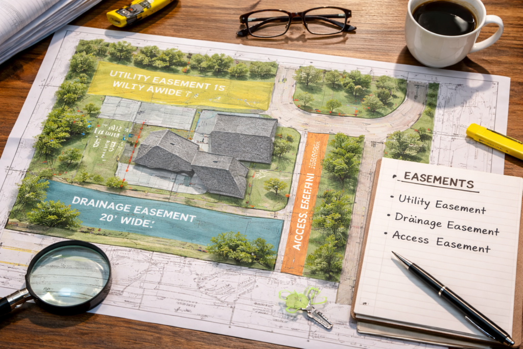
Land surveys help developers:
- Confirm property boundaries
- Identify easements and rights of way
- Understand land features and elevation
- Ensure compliance with zoning requirements
Because development affects surrounding properties, accuracy matters from the very beginning.
Boundary Surveys and Development Planning
Boundary surveys play a critical role in development projects. They establish the legal limits of a property and help prevent encroachments.
Developers rely on boundary surveys to:
- Design layouts that stay within property lines
- Avoid conflicts with neighboring properties
- Meet city and county requirements
Without verified boundaries, development plans risk rejection or legal disputes.
Topographic Surveys and Site Design
Topographic surveys provide elevation and terrain data. This information becomes essential when planning drainage, grading, and infrastructure.
In Utah’s varied terrain, topographic surveys help developers:
- Design stable foundations
- Manage water flow and drainage
- Reduce earthwork costs
Because terrain impacts safety and long-term performance, topographic data supports smarter design choices.
Surveys and Permitting Requirements
Many Utah municipalities require survey data before approving development plans. Survey information supports zoning reviews, setback verification, and infrastructure planning.
Surveyors follow professional standards regulated by the Utah Division of Professional Licensing, which oversees licensing and compliance at https://dopl.utah.gov.
Meeting survey requirements early helps keep projects on schedule.
Supporting Engineers, Architects, and Builders
Land survey data supports every stage of development. Engineers, architects, and builders rely on accurate surveys to align designs with real-world conditions.
As a result:
- Designs reflect actual site conditions
- Construction progresses efficiently
- Costly redesigns become less likely
Survey accuracy directly affects project success.
Avoiding Costly Development Mistakes
Skipping or delaying land surveys often leads to problems later. For example, unclear boundaries or missing elevation data can force changes after construction begins.
Professional standards outlined by organizations like the American Congress on Surveying and Mapping emphasize accuracy and documentation to prevent these issues. More information on best practices can be found at https://www.acsm.net.
How Surveys Fit Into the Development Timeline
Surveys typically occur early in the development process. However, they may also happen at multiple stages.
Common survey stages include:
- Pre-purchase evaluation
- Design and planning
- Construction layout
- Final verification
Understanding this timeline helps developers plan ahead.
Frequently Asked Questions About Land Surveys and Development
Are land surveys required for all development projects?
Most projects require some form of survey, especially those involving construction or subdivision.
Can development move forward without a survey?
In some cases, yes. However, doing so increases risk and delays.
Do surveys affect zoning approval?
Yes. Survey data often supports zoning and setback verification.
How long do development surveys take?
Timelines vary based on project size and complexity.
Who uses survey data during development?
Developers, engineers, architects, builders, and municipalities all rely on survey information.
Conclusion: Why Land Surveys Matter in Utah Property Development
Land surveys play a critical role in Utah property development. They provide accurate data, support permitting, and help projects move forward smoothly.
By understanding the land before development begins, property owners protect both their investment and timeline.