Land surveying is a vital field that supports a multitude of industries including construction, real estate, and Land surveying is a critical practice with extensive applications in construction, real estate, and environmental management. As a foundational science for landscape planning and property management, land surveying ensures the legal delineation of land, aids in the design and implementation of urban infrastructure, and plays a key role in environmental conservation. This article elaborates on the diverse uses of land surveying, emphasizing its importance in urban development, particularly in rapidly expanding regions like Salt Lake City, Utah.
Understanding Land Surveying
Core Functions of Land Surveying
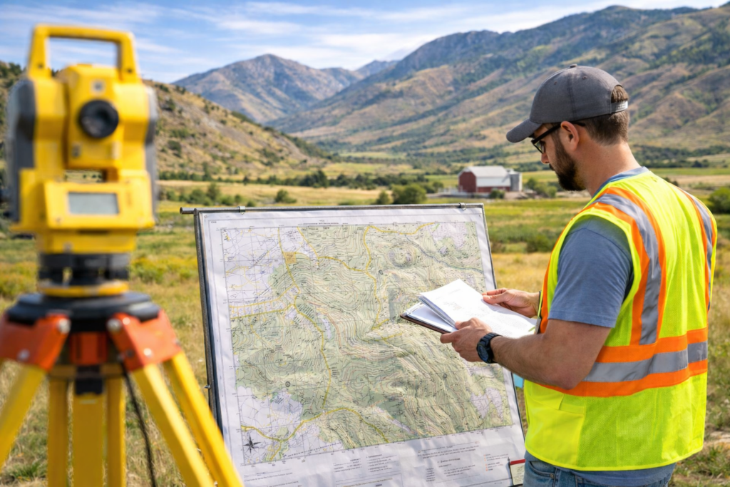
Land surveying involves the precise measurement and mapping of geographical areas to support:
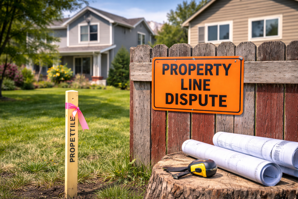
- Boundary Surveys: Essential for determining the legal boundaries of land parcels, crucial for real estate transactions, property development, and resolving land disputes.
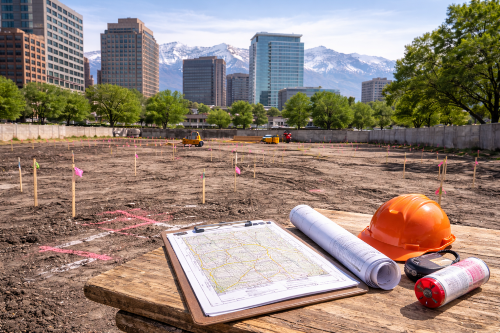
- Construction Layout: Ensures that buildings and infrastructure projects are constructed in correct alignments and locations according to engineering plans.
Comprehensive Applications of Land Surveying
Real Estate and Property Management
- Property Transactions: Accurate surveys are critical in property sales, purchases, and leases to define clear property lines.
- Land Development: Surveyors facilitate the planning and division of land into new development projects, ensuring each section is properly measured and legally recorded.
Civil Engineering and Construction
- Infrastructure Planning: Surveyors are integral in designing and building infrastructure projects that integrate safely with existing structures and landforms.
- Resource Allocation: They provide data for managing resources effectively, crucial for project planning and avoiding resource depletion.
Environmental Protection and Management
- Environmental Impact Assessments: Surveyors assess the potential impacts of proposed developments on the environment to guide protective measures.
- Conservation Efforts: They map out conservation areas, helping to protect ecosystems and promote biodiversity.
The Role of Surveying in Urban Planning
Urban Development
- Strategic Expansion: Surveyors analyze geographical data to help plan city expansions, optimizing land use while minimizing environmental and social impacts.
- Public Safety: Their work is crucial for designing emergency access and evacuation routes, enhancing public safety in urban settings.
Technological Integration in Surveying
- GIS Applications: Geographic Information Systems (GIS) provide a powerful tool for creating detailed, actionable maps that are indispensable in urban planning and resource management. For more on GIS in urban planning, visit the Esri website.
- Advanced Surveying Instruments: The use of drones and 3D scanning technology allows surveyors to collect data more rapidly and accurately than traditional methods, revolutionizing how measurements are conducted and utilized. Learn more about drone technology in surveying on the FAA’s UAS page.
Enhancing Agricultural and Historical Land Management
Agriculture
- Farm Layout and Management: Surveyors help design farm layouts that maximize land use while considering soil conservation and irrigation needs.
- Resource Mapping: They map out agricultural lands for optimized crop rotation, irrigation planning, and resource allocation, which are vital for sustainable farming practices.
Historical Preservation
- Archaeological Surveying: Surveyors work with archaeologists to identify and preserve historical sites by accurately mapping excavation sites and ensuring that heritage sites are protected during nearby developments. For insights into archaeological surveying, see the Archaeological Institute of America’s resources.
Conclusion
Land surveying is a multifaceted field that supports various critical aspects of modern society, from building the foundations of new communities to protecting natural environments and managing urban growth. Its applications are as diverse as they are essential, making land surveying a key profession in the planning and management of both built and natural environments. For those in Salt Lake City and beyond, recognizing the uses of land surveying is essential for anyone involved in land development, real estate, or environmental management.
For additional insights and professional surveying services, visit Cook Surveying.


