When planning a construction project, resolving a property boundary, or investing in real estate, land surveys provide critical insights. But like all tools, they’re not without their challenges. So, what is the biggest disadvantage of surveys? In this article, we’ll explore the primary limitations of land surveying, the impact it can have on projects in areas like Salt Lake City, Utah, and how to mitigate these challenges with professional support.
Understanding the Role of Land Surveys
Land surveys are essential for:
- Establishing legal property boundaries
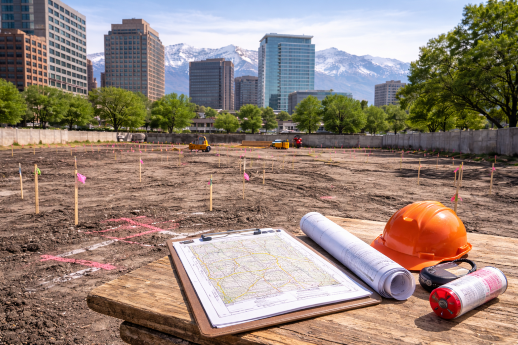
- Planning construction projects
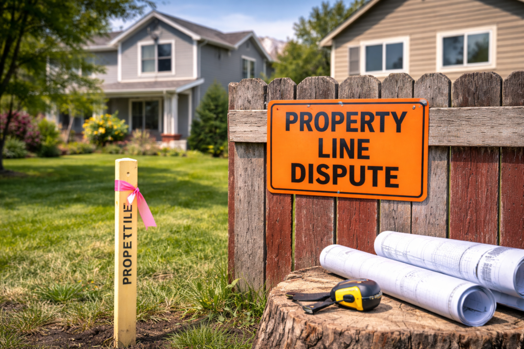
- Resolving property disputes
- Supporting development applications
- Ensuring compliance with zoning regulations
While land surveying is a powerful tool, it’s important to recognize its limitations, especially when making legal or financial decisions based on survey results.
What Is the Biggest Disadvantage of Surveys?
Accuracy Limitations Due to External Factors
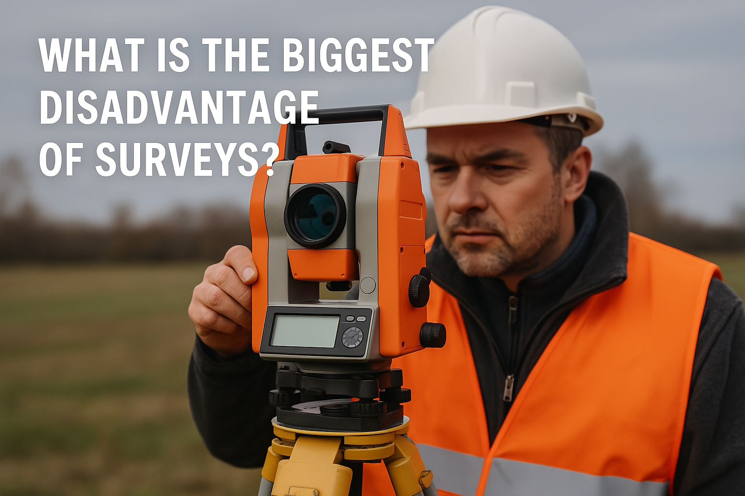
The biggest disadvantage of surveys is that their accuracy can be affected by environmental, technical, and human factors. Even with modern equipment, conditions such as weather, terrain, signal interference, and data interpretation can all introduce errors into a survey. These limitations can result in:
- Small discrepancies in boundary lines
- Delays in project timelines
- Potential legal disputes if interpreted incorrectly
Environmental and Physical Challenges
- Weather Conditions: Rain, snow, and heavy winds can make it difficult for surveyors to collect accurate data on-site.
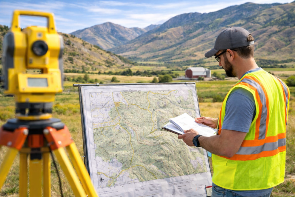
- Topography: Rocky, wooded, or steep terrain can interfere with line-of-sight measurements and accessibility.
- Obstructions: Trees, buildings, and utility lines may prevent clear GPS or total station readings.
Technical and Instrumental Limitations
- GPS Signal Interference: Urban canyons or dense forest cover can block or distort satellite signals, reducing measurement accuracy. Learn more about GPS limitations from GPS.gov.
- Instrument Calibration: Surveying instruments require regular maintenance and calibration. A misaligned device could skew data significantly.
Human Error
Even with the best tools and training, human error in setup, calculations, or interpretation can affect the outcome. This is especially true in projects that rely on legacy records or multiple overlapping survey datasets.
How to Reduce the Risk of Surveying Disadvantages
Despite these challenges, there are ways to overcome the disadvantages of land surveys:
1. Work with Experienced Professionals
Hiring licensed and experienced surveyors is essential. They know how to compensate for environmental and technical limitations and can produce reliable reports. Cook Surveying provides professional-grade surveying services across Salt Lake City and the Western U.S.
2. Use Modern Technology
Modern GPS and drone-based surveying equipment can improve accuracy and reduce on-site errors. Firms that invest in up-to-date tools typically provide more reliable results.
3. Combine Survey Types When Needed
For large-scale or complex properties, a combination of boundary, topographic, and construction surveys may be necessary. Layering datasets provides a more complete picture and minimizes risk.
4. Verify Existing Records
Discrepancies often arise from outdated or poorly maintained land records. A thorough review and reconciliation of title documents, deeds, and past surveys can prevent future conflicts.
Why Accuracy Matters in Salt Lake City and Beyond
In fast-growing regions like Salt Lake City, land is a valuable resource. Surveying errors can delay projects, derail development applications, and spark costly legal disputes. As regulations and urban plans evolve, having precise, professionally executed land surveys is more important than ever.
Conclusion: So, What Is the Biggest Disadvantage of Surveys?
To revisit the original question: What is the biggest disadvantage of surveys? It’s the potential for reduced accuracy due to environmental conditions, technical issues, and human error. While surveys remain an essential part of real estate and development planning, these limitations must be understood and managed carefully. By working with trusted professionals like Cook Surveying, using modern tools, and approaching projects with a strategic mindset, you can mitigate risks and build confidently on a strong foundation.


