If you’re planning a construction project, resolving a boundary issue, or preparing land for legal documentation, one question naturally arises: What is the most accurate land survey? While many types of surveys are available, some are more precise than others due to the tools, methods, and purpose they serve. In this article, we’ll explore which land survey delivers the highest level of accuracy and why it might be the right choice for your project in Utah.
Why Survey Accuracy Matters
In land surveying, accuracy is everything. The more precise your measurements, the more confidence you – and other stakeholders – can have in the results. High accuracy is especially crucial for:
- Legal property transactions
- Boundary disputes
- High-value real estate development
- Infrastructure construction
- Government and commercial projects
Mistakes in surveying can lead to costly delays, permit denials, or legal conflicts, which is why choosing the right type of survey matters.
What Is the Most Accurate Land Survey?
The most accurate type of land survey is typically the ALTA/NSPS Land Title Survey. This highly detailed survey meets strict standards set by the American Land Title Association (ALTA) and the National Society of Professional Surveyors (NSPS).
Why ALTA/NSPS Surveys Are So Accurate
- Precision Standards: ALTA surveys follow national guidelines for measurement tolerances and documentation.
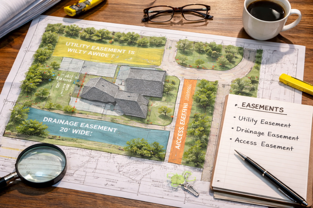
- Legal Clarity: These surveys reveal encroachments, easements, and access rights that might affect ownership or usage.
- Comprehensive Data: ALTA surveys include topographic data, boundary lines, improvements, rights-of-way, utilities, and zoning.
🔗 Learn more about ALTA/NSPS survey requirements directly from the NSPS official site.
Other Highly Accurate Survey Types
Although ALTA surveys top the list for precision, other survey types also offer a high degree of accuracy:
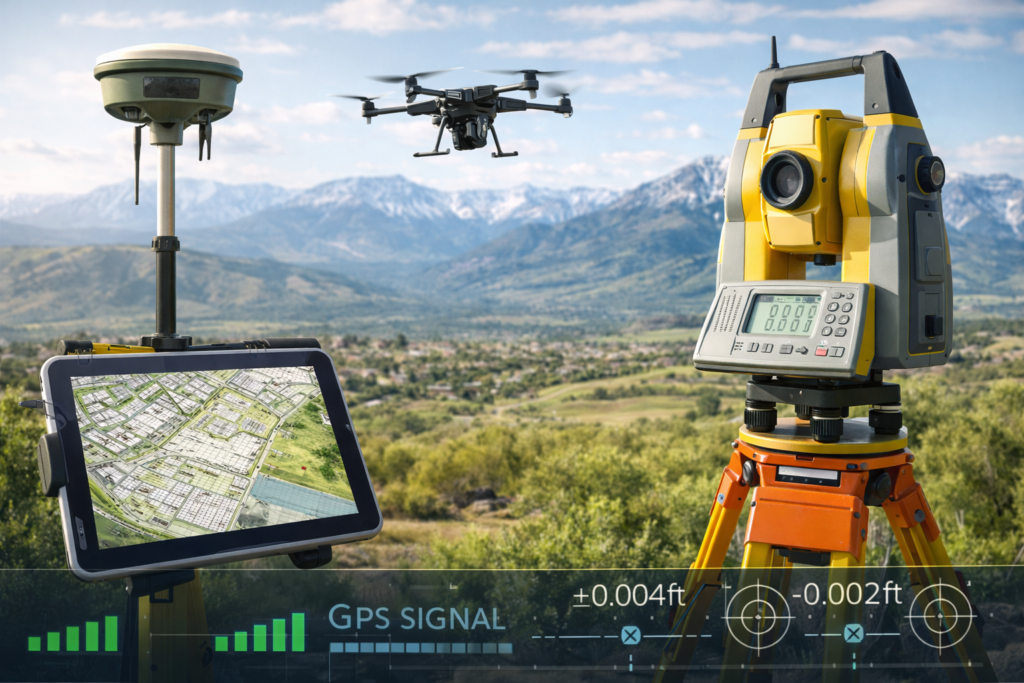
1. Geodetic Surveys
- Use satellites, GPS, and earth curvature models
- Ideal for large-scale projects like roadways and infrastructure
2. GPS/GNSS Surveys
- High-precision receivers can achieve centimeter-level accuracy
- Often combined with robotic total stations for fieldwork
🔗 The U.S. Geological Survey offers insights into geodetic surveying methods and applications.
3. Boundary Surveys
- Used for defining legal property lines
- Accuracy depends on tools used and the availability of historic records
- Great for residential and small commercial projects
What Influences Survey Accuracy?
Even the most advanced type of survey can be limited by:
- Obstructions (trees, buildings, power lines)
- Poor satellite reception in rural or mountainous areas
- Outdated deed or plat information
- Surveyor expertise and equipment calibration
When selecting a survey type, consider both the technical approach and the surveyor’s qualifications.
When Do You Need the Most Accurate Land Survey?
You should invest in the most precise type of survey if you are:
- Purchasing or selling high-value commercial property
- Dealing with complex legal boundary issues
- Applying for title insurance
- Developing land with multiple stakeholders or agencies involved
In Utah—especially in dense areas like Salt Lake City—a precise survey can be the difference between a project moving forward or stalling.
Conclusion: What Is the Most Accurate Land Survey?
So, what is the most accurate land survey? The answer is the ALTA/NSPS Land Title Survey, due to its rigorous standards, legal recognition, and detailed reporting. Depending on your project, other highly accurate types like GPS or geodetic surveys may also be appropriate. Working with experienced professionals like Cook Surveying ensures the survey you choose is not only accurate—but also tailored to your unique land and legal needs.
Call to Action
Need a highly accurate land survey in Utah? Whether you’re developing property, resolving disputes, or closing a commercial deal, Cook Surveying delivers precision and professionalism backed by decades of experience. Contact us today to get the clarity your land deserves.