When navigating real estate transactions, planning construction, or dividing property, one question often comes up: What is the most common type of land survey? Whether you’re a homeowner, developer, or city planner in Salt Lake City, Utah, understanding this key type of survey can help you make informed decisions. In this article, we’ll explore the most frequently requested land survey and why it plays such a pivotal role in land management.
What Is the Most Common Type of Land Survey?
The boundary survey is the most common type of land survey. This survey identifies the exact location of property lines and corners, and it’s often required for:
- Buying or selling property
- Building a fence or new structure
- Resolving neighbor disputes
- Subdividing land
Boundary surveys are essential because they legally define what belongs to a property owner—and what doesn’t.
Why Are Boundary Surveys So Common?
Legal and Financial Clarity
A boundary survey provides a clear, legally recognized definition of a property’s limits, which is essential in any real estate transaction.
Avoiding Future Disputes
Many boundary disputes stem from unclear or outdated property lines. A modern boundary survey can prevent legal conflicts before they arise.
Construction and Planning Needs
Before starting any construction, municipalities often require proof of property lines through a boundary survey to ensure building codes and zoning regulations are followed.
What’s Included in a Boundary Survey?
When you request a boundary survey, here’s what to expect:
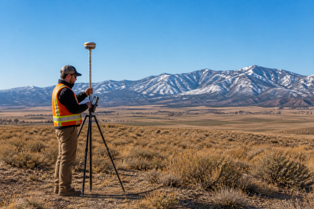
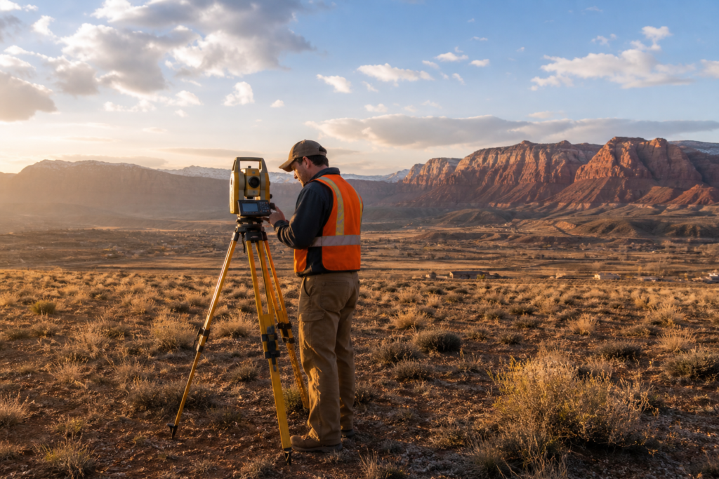
- Field Research: Surveyors use GPS, total stations, and sometimes drones to take precise measurements.
- Record Analysis: Historical records, previous plats, and deed descriptions are compared against current findings.
- Monumentation: Permanent or temporary markers (like stakes or rebar) are placed to indicate property corners.
- Legal Documentation: A certified drawing or plat is provided, detailing boundaries, dimensions, and any encroachments.
Learn more about what boundary surveys include from the National Society of Professional Surveyors.
Other Common Types of Land Surveys
While boundary surveys are the most common, there are several others regularly used in both residential and commercial settings:
- Topographic Surveys: Map the elevation and features of a site.
- ALTA/NSPS Surveys: High-detail surveys used in commercial real estate transactions.
- Construction Staking Surveys: Ensure structures are built in the right place.
- Subdivision Surveys: Divide a parcel into smaller lots for development.
Each type serves a unique purpose and may be combined with a boundary survey for larger or more complex projects.
Here’s a deeper look at survey types from the American Congress on Surveying and Mapping.
When Should You Get a Boundary Survey?
Consider getting a boundary survey if:
- You’re buying or selling property
- You plan to build near your property lines
- You suspect encroachments from neighbors
- You’re refinancing and your lender requests it
In Salt Lake City, boundary surveys are especially important due to expanding urban development and older neighborhoods with outdated plats.
Conclusion: What Is the Most Common Type of Land Survey?
To return to our original question—What is the most common type of land survey? It’s the boundary survey. This fundamental service plays a vital role in real estate, development, and property management. Whether you’re breaking ground on a project or resolving a property line issue, a boundary survey is often your best first step.
Call to Action
At Cook Surveying, we specialize in boundary surveys for homeowners, developers, and municipalities throughout Utah and the western U.S. Our experienced team uses the latest technology to ensure accuracy and compliance with local regulations. If you’re unsure whether you need a survey, reach out to us today—we’re happy to help you make the right decision.