If you have ever looked at a survey map or heard a surveyor use the term CP, you might have found yourself wondering what does CP mean in surveying. It is one of those abbreviations that shows up regularly in survey documents and field notes, yet most property owners have never had it explained to them in plain language. In this article, we break down exactly what CP means, why it matters, and how it plays an important role in accurate land surveying across Utah.
What Does CP Stand For in Surveying?
In land surveying, CP most commonly stands for Control Point. A control point is a fixed, precisely measured location on the ground that surveyors use as a reference for all other measurements taken during a survey. Think of it as an anchor for the entire survey. Because everything else is measured relative to the control point, its accuracy directly affects the accuracy of every other measurement in the project.
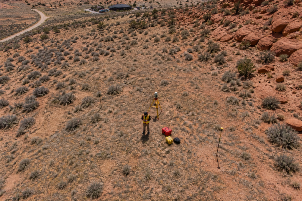
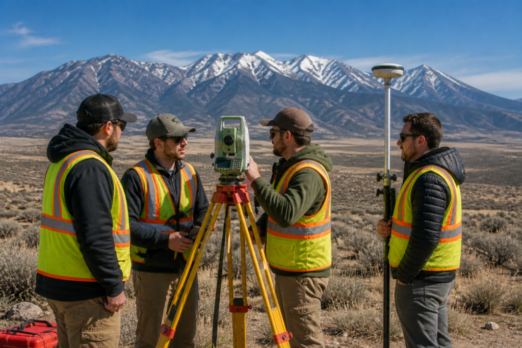
Control points are established using high-precision GPS equipment, total stations, or a combination of both. Once a control point is set, its exact position in terms of latitude, longitude, and elevation is recorded and verified. After that, surveyors can return to the same location on future projects and pick up right where they left off.
In addition to Control Point, CP can also refer to:
- Closing Point — the final point in a traverse where the survey loop closes back on itself
- Computed Point — a point whose location is calculated mathematically rather than measured directly in the field
- Connection Point — a point where two separate survey networks or traverses connect
However, in most everyday surveying contexts in Utah, CP refers to a Control Point. If you ever see CP on a survey map or in a field report and you are not sure which meaning applies, your surveyor can clarify it quickly.
Why Are Control Points So Important?
Control points are the foundation of accurate surveying. Without them, every measurement a surveyor takes would be floating in space with no reliable reference. Because of this, establishing strong control is one of the first things a licensed surveyor does before any serious field work begins.
Here is why control points matter so much:
- They provide a consistent reference that all measurements connect back to
- They allow multiple surveyors or survey crews to work on the same project and get matching results
- They make it possible to expand a survey over a large area without accumulating errors
- They allow future surveyors to verify and build on existing work without starting from scratch
- They are essential for projects that span multiple visits or phases of construction
For example, when Cook Surveying & Associates works on a large pipeline or utility corridor project across eastern Utah, control points are established at regular intervals along the route. As a result, every measurement taken along that corridor ties back to a verified reference, keeping the entire survey consistent from start to finish.
How Are Control Points Established?
Establishing a control point is a precise process that requires both the right equipment and the right expertise. In Utah, surveyors often tie their control points into the National Spatial Reference System, which is the official network of geodetic control points maintained by the National Geodetic Survey.
The process generally works like this:
- A surveyor identifies a suitable location for the control point, ideally somewhere stable and accessible
- High-precision GPS equipment or traditional geodetic methods are used to measure the exact position of the point
- The measurement is verified by comparing it to nearby existing control points in the national network
- The control point is physically marked on the ground using a monument, benchmark, or other durable marker
- The coordinates and elevation of the point are recorded in the survey notes and on the final map
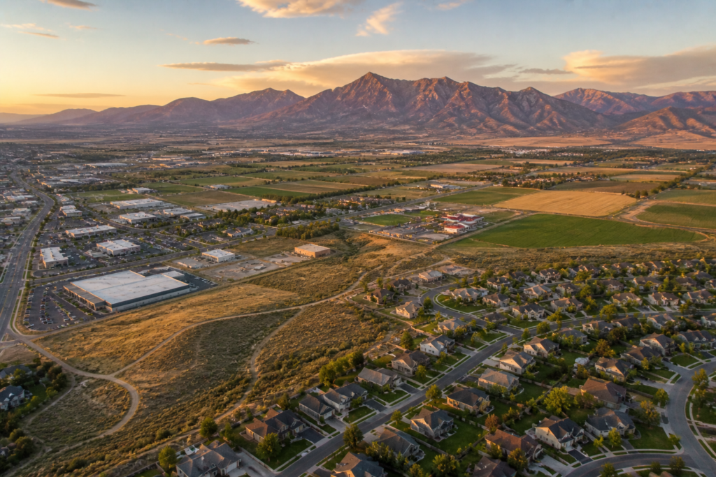
Because Utah’s terrain varies so dramatically from the Wasatch Front to the canyon country of the south, establishing reliable control points can be a real challenge in some areas. That is why local knowledge and experience are so valuable when it comes to setting up control for a survey project.
Control Points on Survey Maps
When you look at a survey map, control points are usually marked with a specific symbol and labeled with their coordinates. In addition, the map will typically include information about how the control point was established and what reference system it ties into.
Understanding the control points on your survey map helps you:
- Verify that the survey connects to a recognized reference system
- Understand the starting point for all boundary and distance measurements
- Identify any areas where the survey relied on computed or assumed positions rather than measured ones
- Confirm that future surveyors will be able to reproduce the same results
If you want to get better at reading your survey documents, our article on How to Read and Understand Your Land Survey Report is a great place to start. It walks you through the key elements of a survey map in plain language.
CP in the Context of Different Survey Types
Control points play a slightly different role depending on the type of survey being performed. Here is how CP fits into some of the most common survey types in Utah:
- Boundary surveys — control points anchor the boundary measurements to a verified reference, making the results legally defensible
- Topographic surveys — control points establish the elevation datum that all contour lines and spot elevations are based on
- Construction surveys — control points are used throughout the construction process to make sure structures are built in the right location
- Pipeline and utility surveys — control points are set at regular intervals along long corridors to maintain accuracy over large distances
- Drone mapping surveys — ground control points are placed across the survey area and photographed by the drone to improve the accuracy of aerial mapping data
In each case, the control point serves the same fundamental purpose. It gives the surveyor a reliable, verified reference to work from so that every measurement in the project is traceable back to a known position.
Key Takeaways
- CP in surveying most commonly stands for Control Point
- A control point is a precisely measured reference location that anchors all other survey measurements
- CP can also stand for Closing Point, Computed Point, or Connection Point depending on context
- Control points are tied into the National Spatial Reference System for consistency and accuracy
- They are essential for large projects, multi-phase surveys, and legally defensible boundary work
- Utah’s varied terrain makes experienced control point setup especially important
Helpful Resources
- National Society of Professional Surveyors (NSPS) — professional standards and resources for land surveyors nationwide
- National Geodetic Survey (NGS) — the official source for geodetic control data and the National Spatial Reference System across the United States
Conclusion
So what does CP mean in surveying? In most cases, it stands for Control Point, which is the fixed reference location that anchors every measurement in a survey project. Without reliable control points, even the best equipment and most skilled surveyor cannot deliver consistently accurate results. Because of this, understanding what CP means helps you appreciate the precision and care that goes into every professional land survey.
At Cook Surveying & Associates, we establish strong, verified control on every project we take on — from residential boundary surveys to large-scale pipeline corridor work across Utah. That commitment to precision is what makes our results reliable, legally defensible, and built to last.
Contact Cook Surveying & Associates today to discuss your next survey project with our licensed team.