Whether you are buying property, planning a development, or simply trying to understand how land is classified in Utah, knowing what are the 4 main types of land use is essential knowledge for any property owner or investor. Land use classification affects everything from what you can build on a property to how it is taxed, zoned, and valued. In this article, we walk through the 4 main types of land use, explain what each one means in a Utah context, and show you how land surveys play a critical role in determining and protecting land use rights across the state.
Why Land Use Classification Matters in Utah
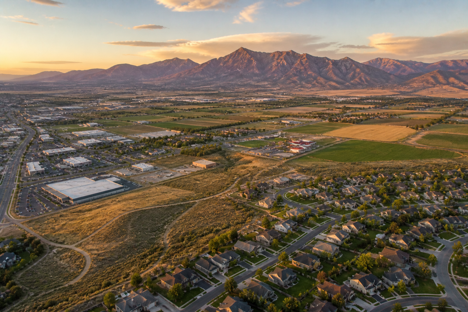
Utah is one of the fastest growing states in the country. As a result, land use decisions have never been more important. From the rapidly expanding suburbs of Salt Lake City and St. George to the rural ranch land of eastern Utah and the protected open spaces of the Colorado Plateau, how land is classified and used shapes communities, economies, and landscapes for generations.
Furthermore, land use classification directly affects what you can and cannot do with a piece of property. Building a home on commercially zoned land, running a business on agriculturally classified property, or developing in an area designated for conservation can all create serious legal and financial problems. Because of this, understanding the 4 main types of land use before you buy, build, or invest is one of the smartest things a Utah property owner can do.
Type 1: Residential Land Use
Residential land use covers property that is designated for people to live on. It is the most familiar type of land use for most Utah property owners and includes everything from single family homes on suburban lots to high density apartment complexes in urban centers.
Residential land use is generally broken down into subcategories based on density, including:
- Single family residential, which covers detached homes on individual lots
- Multi family residential, which includes duplexes, townhomes, condominiums, and apartment buildings
- Rural residential, which covers larger lots in semi rural areas where residents want space and privacy
- Mixed use residential, which combines housing with ground floor commercial space in urban areas
In Utah, residential land use is expanding rapidly in communities across the Wasatch Front, the St. George area, and other fast growing regions. Because of this expansion, accurate land surveys are more important than ever for establishing property boundaries, supporting subdivision development, and resolving the boundary disputes that often arise in growing neighborhoods.
Furthermore, zoning regulations for residential land vary significantly from one Utah county or municipality to the next. A licensed surveyor familiar with local regulations can help you understand exactly what your residential property allows and where your boundaries lie.
Type 2: Commercial Land Use
Commercial land use covers property designated for business activities. This includes everything from small retail shops and office buildings to large shopping centers, hotels, restaurants, and mixed use commercial developments.
Common examples of commercial land use in Utah include:
- Retail centers and shopping districts in cities like Salt Lake City, Provo, and St. George
- Office parks and business campuses along the Wasatch Front
- Hotels and hospitality properties near tourism destinations like Zion National Park and Bryce Canyon
- Restaurant and entertainment districts in growing urban areas
- Mixed use developments that combine commercial and residential space
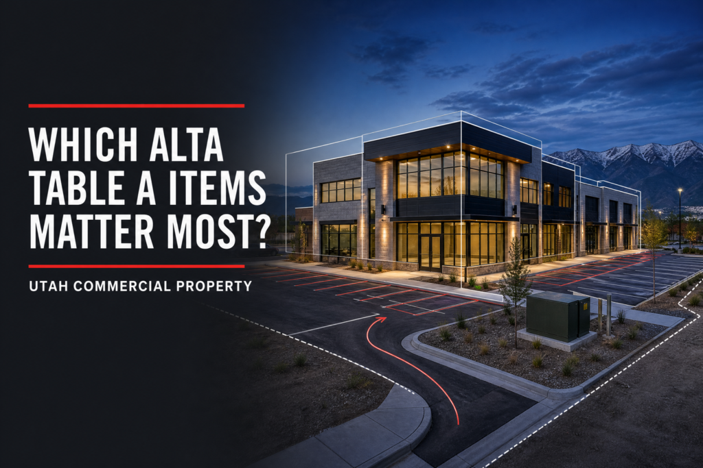
Commercial properties often require more complex and detailed surveys than residential ones. In many cases, lenders and title companies require an ALTA/NSPS survey before financing a commercial transaction. Because of this, commercial land use and professional land surveying go hand in hand across Utah’s booming business landscape.
In addition, commercial development in Utah must comply with local zoning requirements, setback rules, and access regulations that vary by location. A licensed surveyor plays a key role in making sure development plans align with what the property actually allows.
Type 3: Agricultural Land Use
Agricultural land use covers property used for farming, ranching, livestock grazing, and related food and fiber production activities. Utah has a rich agricultural heritage, and despite rapid urbanization in some areas, agricultural land use remains an important part of the state’s economy and landscape.
Common types of agricultural land use in Utah include:
- Crop farming in irrigated valleys across central and northern Utah
- Cattle and sheep ranching on large rural parcels in eastern and southern Utah
- Dairy farming operations across Cache Valley and other productive agricultural regions
- Orchards and specialty crop production in areas like the Wasatch Front and southwestern Utah
- Hay production and alfalfa farming across rural Utah
Agricultural land use comes with unique survey needs. Large ranch and farm parcels often have complex boundary histories, overlapping grazing rights, water rights issues, and easements that require careful research and precise measurement to sort out. Because of this, agricultural land surveys often involve more historical research and field complexity than a typical residential boundary survey.
Furthermore, many agricultural properties in Utah sit adjacent to state and federal land, which adds another layer of complexity to boundary determination. At Cook Surveying & Associates, we have extensive experience working on rural and agricultural properties across Utah, including the boundary and pipeline work we regularly perform in eastern Utah’s energy producing regions.
Type 4: Industrial Land Use
Industrial land use covers property designated for manufacturing, processing, warehousing, distribution, and resource extraction activities. In Utah, industrial land use plays a significant role in the economy, particularly in areas tied to mining, energy production, and logistics.
Common types of industrial land use in Utah include:
- Mining and mineral extraction operations in central and eastern Utah
- Oil and gas production facilities across the Uinta Basin
- Manufacturing plants and processing facilities along the Wasatch Front
- Warehousing and distribution centers near major transportation corridors
- Utility infrastructure including power plants, substations, and pipelines
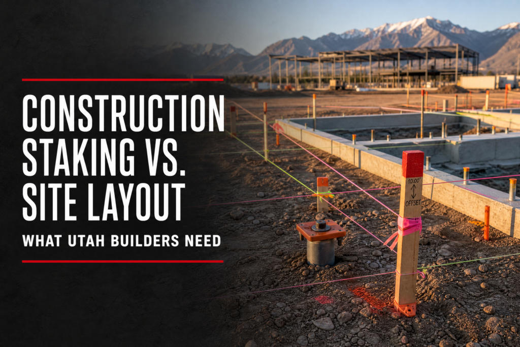
Industrial properties often require highly specialized survey services. Pipeline corridor surveys, mine mapping, construction staking for large facilities, and ILI tracking for pipeline integrity are all examples of survey work that supports industrial land use in Utah.
At Cook Surveying & Associates, we have deep experience supporting industrial clients across Utah, including pipeline and energy sector work through our ILI Tracking services and large scale land surveys for commercial and industrial development projects.
How Land Surveys Support All 4 Types of Land Use
Regardless of which type of land use applies to your property, a professional land survey is one of the most important tools available for protecting your rights and making informed decisions. Here is how surveys support each of the 4 main types of land use:
- Residential — boundary surveys establish property lines for homeowners, support subdivision development, and resolve neighbor disputes
- Commercial — ALTA/NSPS surveys provide the comprehensive detail that lenders, title companies, and developers need for commercial transactions
- Agricultural — boundary and easement surveys sort out complex rural property histories and protect the rights of farmers and ranchers
- Industrial — pipeline surveys, construction staking, and mine mapping support safe and accurate industrial development
Because land use and land boundaries are so closely connected, working with a licensed surveyor is essential no matter what type of property you own or plan to develop. You can learn more about how surveys support property development across Utah in our article on The Role of Land Surveys in Utah Property Development.
Key Takeaways
- The 4 main types of land use are residential, commercial, agricultural, and industrial
- Land use classification affects what you can build, how property is taxed, and what activities are permitted
- Utah’s rapid growth makes understanding land use more important than ever for property owners and investors
- Each type of land use comes with unique survey needs that require professional expertise
- Residential land use is the most familiar type for everyday Utah property owners
- Commercial transactions often require ALTA/NSPS surveys for lender and title company approval
- Agricultural and industrial properties frequently involve complex boundary histories and specialized survey work
- A licensed Professional Land Surveyor plays a key role in protecting land use rights across all 4 categories
Helpful Resources
- National Society of Professional Surveyors (NSPS) — national standards, education, and professional resources for land surveyors supporting all types of land use
- Utah Association of Land Surveyors (UALS) — Utah specific licensing, continuing education, and professional guidance for surveyors and property owners across the state
Conclusion
So what are the 4 main types of land use? Residential, commercial, agricultural, and industrial land use are the four foundational categories that shape how property is classified, regulated, and developed across Utah and the rest of the country. Understanding the 4 main types of land use helps you make smarter decisions about any property you own, buy, or plan to develop.
No matter which type of land use applies to your situation, a professional land survey from a licensed surveyor is one of the most important steps you can take to protect your investment and move forward with confidence. At Cook Surveying & Associates, we have the experience, the tools, and the local knowledge to support property owners and developers across all 4 types of land use throughout Utah.
Contact Cook Surveying & Associates today and let us help you get the survey you need.