Whether you are buying property, planning a construction project, or simply trying to understand what kind of survey you need, knowing what are the 7 types of surveys is a great place to start. The surveying profession covers a wide range of services, and each type of survey serves a specific purpose. In this article, we walk through the 7 most common types of surveys used in Utah and across the country, explain what each one involves, and help you figure out which one fits your situation best.
Why Understanding the 7 Types of Surveys Matters
Many Utah property owners contact a surveying firm and simply ask for a survey without knowing which type they actually need. As a result, they sometimes end up with a service that does not fully address their situation, or they pay for more than they actually required. Because of this, taking a few minutes to understand the most common survey types puts you in a much stronger position before you make that call.
Furthermore, different survey types carry different legal weight, serve different industries, and require different levels of detail. Understanding those differences helps you ask better questions, set realistic expectations, and make smarter decisions about your property.
Type 1: Boundary Survey
A boundary survey is the most common type of survey requested by property owners across Utah. Its purpose is straightforward. It establishes the exact legal limits of a property by researching historical records and measuring the land in the field with precision equipment.
A boundary survey is typically needed when:
- You are buying or selling a residential or rural property
- You want to build a fence or structure near a property line
- A neighbor is disputing your boundary
- You are subdividing land into smaller parcels
- Your lender or title company requires one for financing
Because a boundary survey is prepared and certified by a licensed Professional Land Surveyor, it is a legally binding document that carries real weight in any property related dispute or transaction.
Type 2: Topographic Survey
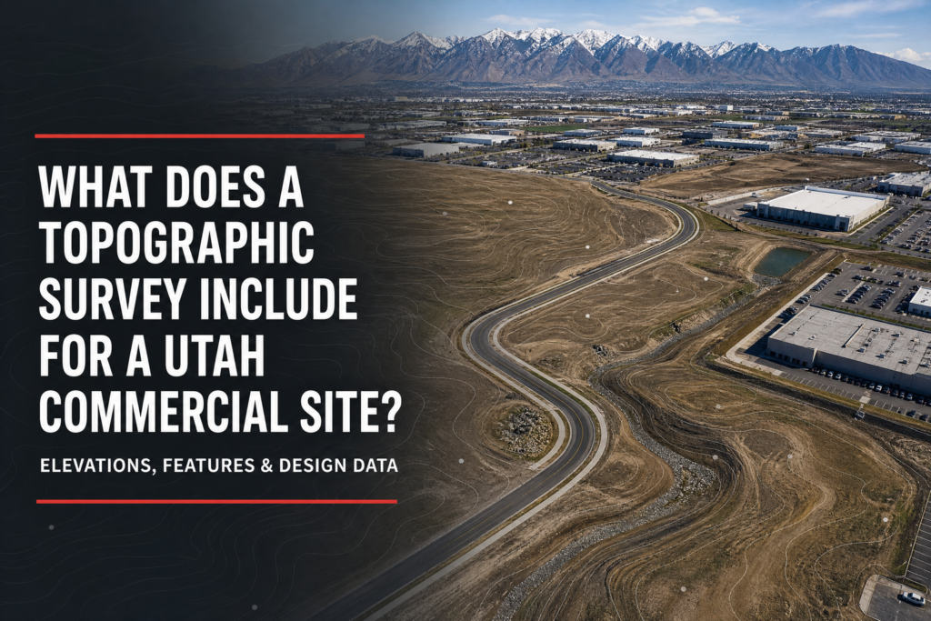
A topographic survey maps the shape, elevation, and surface features of a piece of land. Rather than focusing on where the property lines are, a topographic survey focuses on what the land looks like in three dimensions, including hills, slopes, drainage patterns, trees, buildings, and other features.
Topographic surveys are essential for:
- Engineering and construction planning on sloped or uneven terrain
- Drainage and grading design
- Environmental assessments and land use planning
- Development projects where understanding the lay of the land is critical before breaking ground
In Utah, topographic surveys are especially important given the state’s dramatic elevation changes. A hillside lot near the Wasatch Front or a canyon property in southern Utah requires detailed topographic data before any responsible construction can begin. You can read more about this in our article on The Importance of Topographic Surveys in Utah’s Varied Terrain.
Type 3: ALTA/NSPS Land Title Survey
An ALTA/NSPS survey is widely considered the gold standard of land surveys. It follows strict national standards set jointly by the American Land Title Association and the National Society of Professional Surveyors, and it covers far more detail than a standard boundary survey.
ALTA/NSPS surveys are most commonly required for:
- Commercial real estate transactions
- Lender and title company requirements on complex properties
- Large development projects with multiple easements or encroachments
- Properties with complicated ownership histories
Because ALTA surveys are so comprehensive, they take more time and cost more than other survey types. However, for commercial transactions and complex properties, they provide a level of detail and legal protection that no other survey type can match.
Type 4: Construction Survey
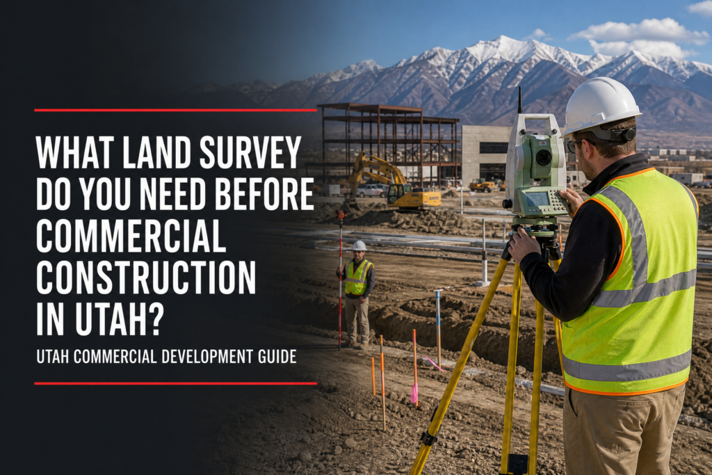
A construction survey supports the planning and execution of building projects. Its purpose is to translate design drawings into physical locations on the ground so that construction crews know exactly where to build. Because of this, construction surveys are an essential part of virtually every significant development project in Utah.
Construction surveys typically include:
- Staking out building footprints, foundations, and structural elements
- Setting grades and elevations for roads, parking lots, and drainage
- Monitoring construction progress to verify it matches the approved design
- As built surveys that document what was actually constructed once work is complete
As Utah communities like St. George, Cedar City, and the Salt Lake Valley continue to grow rapidly, construction surveyors are in consistently high demand across the state.
Type 5: Topographic and Hydrographic Survey
A hydrographic survey maps the bottom of bodies of water, including rivers, lakes, reservoirs, and harbors. Rather than measuring land, it measures water depth, underwater terrain, and the features of riverbeds and lake bottoms.
Hydrographic surveys are used for:
- Mapping reservoir and lake bed profiles
- Supporting bridge and dam construction projects
- Flood plain mapping and water resource management
- Monitoring sediment buildup in reservoirs and waterways
- Dredging and navigation channel surveys
In Utah, hydrographic surveying plays an important role given the state’s many reservoirs, rivers, and irrigation systems. At Cook Surveying & Associates, we provide professional hydrographic surveying services using RTK GPS combined with sonar equipment to deliver accurate underwater mapping across Utah’s water bodies.
Type 6: Subdivision Survey
A subdivision survey is used when a larger parcel of land is divided into two or more smaller lots. This type of survey is essential for developers and property owners who want to split land for sale, development, or inheritance purposes.
A subdivision survey typically involves:
- Establishing and documenting the boundaries of each new lot
- Designing and recording a plat map that shows all new lots, streets, and easements
- Meeting local zoning and planning requirements for lot size, access, and utilities
- Recording the final plat with the county recorder so the new lots become legally recognized
In Utah, subdivision surveys must comply with state and local regulations that vary by county and municipality. Because of this, working with a licensed surveyor who understands local requirements is essential for any subdivision project.
Type 7: Drone Mapping Survey
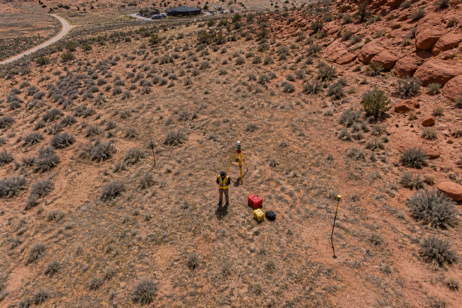
Drone mapping surveys represent one of the newest and fastest growing types of surveys available today. Using unmanned aerial vehicles equipped with high resolution cameras and GPS receivers, surveyors collect detailed aerial data across large areas in a fraction of the time traditional ground based methods require.
Drone mapping surveys are ideal for:
- Large area topographic mapping
- Volumetric calculations for earthwork, mining, and stockpile management
- Aerial photography and mapping for development planning
- Infrastructure inspection and monitoring
- Environmental and land use mapping across remote or difficult to access terrain
At Cook Surveying & Associates, our drone mapping services give clients a faster, safer, and more cost effective way to collect high quality aerial data across Utah’s diverse landscape. Furthermore, drone surveys are often combined with ground based control points to achieve the highest levels of accuracy.
Choosing the Right Survey Type for Your Utah Property
Now that you understand the 7 types of surveys, the next question is which one you actually need. Here is a quick reference guide:
- Buying or selling a home or rural property — boundary survey
- Planning a construction project on uneven terrain — topographic survey
- Involved in a commercial real estate transaction — ALTA/NSPS survey
- Building a new structure or road — construction survey
- Working near a river, lake, or reservoir — hydrographic survey
- Splitting a larger property into smaller lots — subdivision survey
- Mapping a large or remote area from the air — drone mapping survey
If you are still not sure which type fits your situation, the best step is to call a licensed surveying firm and describe your project in plain terms. An experienced team can quickly identify the right service for your needs.
Key Takeaways
- The 7 most common types of surveys are boundary, topographic, ALTA/NSPS, construction, hydrographic, subdivision, and drone mapping surveys
- Each type of survey serves a specific purpose and is suited to different situations
- Boundary surveys are the most common type for everyday property owners in Utah
- ALTA/NSPS surveys are the most comprehensive and are used primarily for commercial transactions
- Drone mapping surveys are one of the fastest growing survey types due to their speed and efficiency
- Choosing the wrong survey type wastes time and money, so always confirm the right type before ordering
- A licensed Professional Land Surveyor can help you identify which type of survey your project requires
Helpful Resources
- National Society of Professional Surveyors (NSPS) — national standards, education, and professional resources covering all major survey types
- Utah Association of Land Surveyors (UALS) — Utah specific licensing, continuing education, and guidance for property owners navigating the survey process
Conclusion
So what are the 7 types of surveys? The most common types are boundary surveys, topographic surveys, ALTA/NSPS surveys, construction surveys, hydrographic surveys, subdivision surveys, and drone mapping surveys. Each one serves a distinct purpose, and understanding the 7 types of surveys helps you make smarter decisions about your property and your project. The right survey type makes all the difference when it comes to accuracy, legal protection, and getting the results you actually need.
At Cook Surveying & Associates, we offer a full range of survey services across Utah. Our licensed team is ready to help you identify the right type of survey for your situation and deliver accurate, professionally certified results from start to finish.
Contact Cook Surveying & Associates today and let us point you in the right direction.