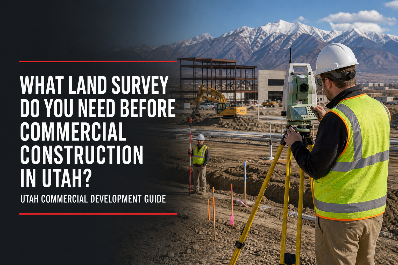
What type of land survey do you need before commercial construction in Utah? Most projects need more than one service because due diligence, design, field layout, and closeout each answer a different question. A commercial buyer may begin with boundary or ALTA/NSPS work, the civil engineer needs topographic data for design, and the contractor needs staking from approved plans.
Quick answer: The usual sequence is boundary or ALTA/NSPS surveying for property and title questions, topographic surveying for design, construction staking for field layout, and an as-built survey for selected final documentation. Confirm the scope with the owner, surveyor, civil engineer, title team, and local jurisdiction.
Match the Survey to the Next Project Decision
The right survey is the one that answers the next question. A developer evaluating a Salt Lake City industrial site needs different information than a contractor beginning work on an approved multifamily project.
•Acquisition and financing: Clarify parcel limits, access, title-related conditions, and recorded interests.
•Entitlement and design: Capture existing grades, features, and conditions for civil and site planning.
•Construction: Transfer approved locations and elevations to the field.
•Closeout: Document selected constructed improvements when required.
Cook Surveying’s land-surveying and geomatics services include ALTA and boundary surveys, design and construction surveys, land development, subdivision work, right-of-way and easement surveys, aerial mapping, and related commercial support.
1. Boundary or ALTA/NSPS Survey: Understand the Property
A boundary survey establishes or retraces property lines and corners. It is useful when the owner needs to understand parcel limits, adjoining ownership, or potential encroachment concerns before planning improvements.
An ALTA/NSPS Land Title Survey is a title-focused survey often used for commercial transactions, financing, and title-insurance decisions. It combines boundary work with title evidence, field observations, certification, and agreed Table A items. The 2026 standards took effect on February 23, 2026.
Choose an ALTA/NSPS survey when the lender, title company, purchase agreement, or transaction team requires it. Choose a boundary survey when property-line information is the primary need. In either case, provide the current title commitment and legal description early.
2. Topographic Survey: Give the Design Team Existing Conditions
A topographic survey maps elevations, contours, visible improvements, and other agreed site features. Civil engineers use it for grading, drainage, utilities, access, parking, and site design.
A boundary or ALTA survey answers property and title questions; a topographic survey answers what exists on the ground and how it affects design. Salt Lake City’s commercial and multifamily checklist lists a topographic survey, grading plan, and slope analysis among site-plan materials. Requirements vary by jurisdiction and project.
3. Construction Staking: Build From the Approved Plans
After plans are approved, construction staking or site layout establishes reference points, lines, and elevations for the contractor. Depending on the scope, it can support building corners, foundations, curb and gutter, parking, utilities, retaining walls, roads, drainage improvements, and site control.
Construction staking may occur in several phases as grading, utilities, building work, and paving advance. The contractor and surveyor should coordinate around current plans, revisions, sequencing, site access, and safety requirements.
| Survey type | Main question it answers | Typical project phase |
| Boundary survey | Where are the parcel limits and corners? | Acquisition or early planning |
| ALTA/NSPS survey | What title-related survey conditions affect the transaction? | Acquisition, financing, or redevelopment |
| Topographic survey | What grades, features, and conditions must design address? | Entitlement and engineering design |
| Construction staking | Where do approved improvements belong in the field? | Active construction |
| As-built survey | What selected improvements were constructed, and where? | Closeout or verification |
4. As-Built Survey: Document Selected Final Improvements
An as-built survey documents selected improvements during or after construction. Scope varies by owner, engineer, utility, agency, or closeout process. Confirm the plans, features, certification needs, files, and delivery timing early.
Use a Practical Surveying Sequence
For many Utah commercial projects, involve the surveyor before the design team starts working from assumptions:
1.Review the property, title commitment, intended use, and transaction deadline.
2.Complete boundary or ALTA/NSPS work when the transaction needs it.
3.Obtain the topographic or design-survey data required by the civil engineer.
4.Coordinate control and staking with the contractor’s construction phasing.
5.Define any as-built requirements before project closeout is imminent.
Salt Lake City advises teams to review zoning, overlays, subdivision requirements, general-plan considerations, and site-plan requirements when beginning a project. Its Planning Division also offers Development Review Team and pre-submittal meetings to identify issues during the concept stage.
Frequently Asked Questions
Can one survey cover every commercial construction need?
Usually not. Due diligence, engineering, field layout, and closeout require different information, so many projects use several survey services.
Does every Utah commercial project need an ALTA survey?
No. An ALTA/NSPS survey is often used for commercial transactions and title-related needs, but the lender, title company, purchase agreement, and project team determine whether it is required.
When should a builder call the surveyor for staking?
Call before field work begins and whenever the approved design or phasing plan changes. Provide current plans, access information, and enough notice to schedule the requested layout.
Choose the Survey Scope Before Construction Becomes a Constraint
So, what type of land survey do you need before commercial construction in Utah? Use boundary or ALTA/NSPS work to understand the property and transaction, topographic surveying for design, construction staking for approved plans, and as-built documentation for selected final records. Early coordination gives Utah teams a clearer path to construction.
Cook Surveying & Associates supports commercial development, construction, utility, and infrastructure projects from Salt Lake City. To discuss the survey scope for your next project, call (801) 364-4051 or email contact@cook-surveying.com.
References
[1] National Society of Professional Surveyors — 2026 ALTA/NSPS Standards
[2] Salt Lake City Building Services — Commercial / Multi-Family Login Checklist