How can a land survey help prevent commercial project delays in Utah? A well-scoped survey gives the owner, developer, lender, title team, engineer, architect, contractor, and agencies a more reliable basis for property decisions. It cannot guarantee approval or timing, but coordination can reduce rework from unclear boundaries, incomplete conditions, mismatched documents, or late layout needs.
Quick answer: A land survey helps reduce avoidable delays by clarifying the property, documenting agreed existing conditions, supporting title and design coordination, and providing construction layout at the right stage. The benefit is greatest when scope, documents, access, and deadlines are coordinated early.
A Survey Improves the Starting Point
Commercial development involves title, lending, zoning, planning, engineering, utilities, construction, and public review. A survey is one part of the process; it does not replace legal, title, engineering, zoning, environmental, utility, or permitting work.
If a team starts with an uncertain boundary, incomplete improvements, outdated grade data, unclear access, or a poorly defined site, later decisions may become more difficult. Survey work establishes a common reference.
Cook Surveying’s land-surveying and geomatics services support boundary and ALTA/NSPS surveys, topographic work, construction layout, land development, easement work, and aerial mapping.
Where Survey Coordination Helps
Property, Boundary, and Title Questions
A commercial acquisition, financing, or redevelopment plan may depend on property, recorded-matter, improvement, and access information. A boundary or ALTA/NSPS Land Title Survey can help the team evaluate issues within the agreed scope.
Early work gives the buyer, lender, title professional, attorney, and design team time to coordinate questions. It can identify basic property questions before later commitments.
Existing Conditions Before Civil Design
A topographic or design survey provides existing-condition information for grading, drainage, parking, access, utilities, building placement, and circulation. Incomplete or outdated data can lead to later revisions.
Salt Lake City’s commercial and multifamily checklist identifies property lines, buildings, site infrastructure, parking, a topographic survey, grading plan, and slope analysis among relevant site-plan materials. Requirements vary, but this local example illustrates why existing-condition information should be coordinated before detailed design.
Construction Layout at the Right Time
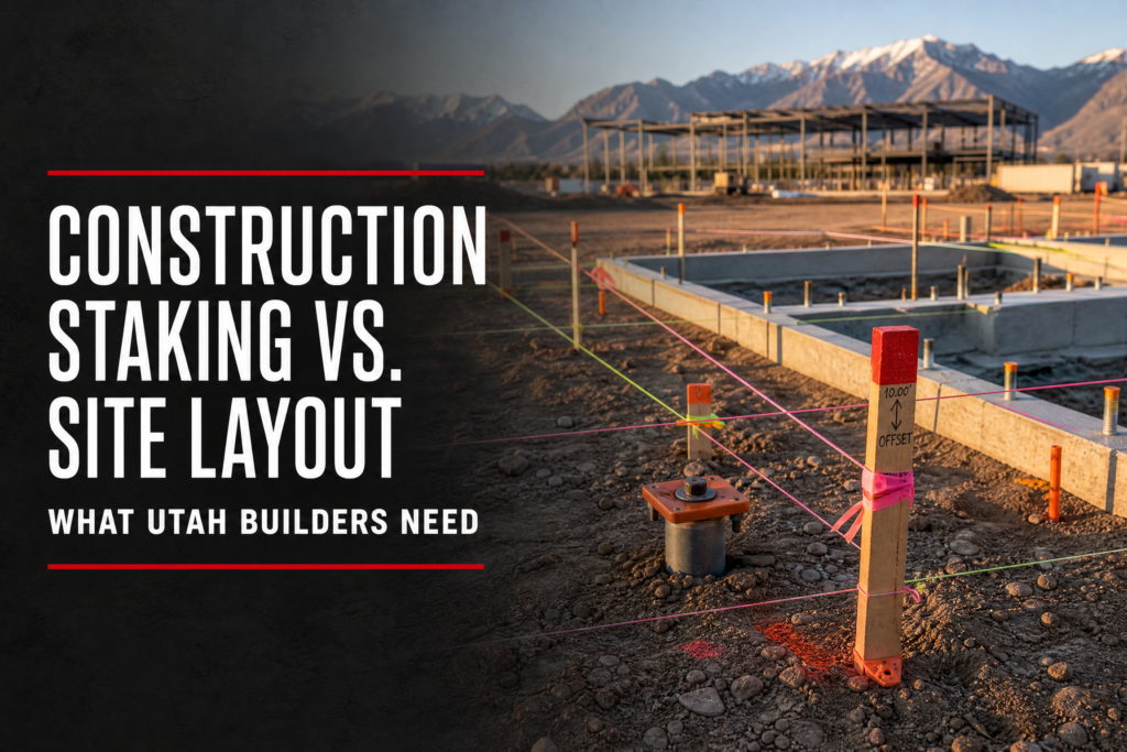
Construction staking or site layout transfers approved information into field references for control, grades, foundations, utilities, parking, roads, drainage, and final improvements.
The risk is requesting staking without current plans, a clear work area, access, control information, or notice. Coordinate before the next crew is waiting on layout.
| Project stage | Survey support that may be needed | Coordination benefit |
| Acquisition and due diligence | Boundary or ALTA/NSPS scope | Gives the transaction team information earlier |
| Concept planning and entitlement | Boundary, topographic, or existing-condition work | Supports planning from documented conditions |
| Civil design and permitting | Topographic and design-base deliverables | Helps coordinate grades, drainage, access, and infrastructure |
| Construction | Control, staking, and phased layout | Helps crews work from current approved information |
| Closeout | Selected as-built documentation, when required | Supports records and turnover needs |
Coordinate Scope With the Actual Decision
Avoid a generic request for “a survey.” Identify the decision, property limits, project stage, required deliverables, users, and critical dates.
Before fieldwork, share:
•The property address, parcel information, legal description, title documents, and prior surveys when available.
•The latest concept, civil, architectural, utility, grading, or construction plans relevant to the request.
•The lender, title, legal, engineering, architecture, contractor, and project-management contacts who may need to coordinate.
•Access contacts, safety restrictions, active-site conditions, and the real deadline for the next decision.
Salt Lake City’s Development Review Team involves Planning and Zoning, Building Services, Public Utilities, Transportation, and Engineering to help stakeholders understand city requirements and considerations. The city includes commercial, industrial, and multifamily new construction among projects that may use this process. Early survey coordination also provides needed information before later phases.
Keep Documents Current
A revised legal description, title commitment, civil plan, utility design, grading plan, building layout, or schedule may change what the team needs next. Keep the surveyor informed as the project moves from due diligence to design or construction.
Salt Lake City says incomplete or missing information on drawings and application forms can delay processing. Every Utah jurisdiction has its own procedures, but accurate and coordinated survey information can help a commercial team avoid contributing to an incomplete project package.
Frequently Asked Questions
Can a land survey guarantee that a commercial project will stay on schedule?
No. Financing, permitting, design changes, utilities, weather, materials, public review, and construction can affect timing. A survey reduces information and coordination problems; it does not guarantee an outcome.
When should a developer involve a surveyor?
Involve the surveyor as soon as the property and project purpose are known. Early discussion can identify whether the next need is transaction support, boundary work, topographic data, design coordination, construction layout, or another service.
Does the same survey work for due diligence, design, and construction?
Not always. A commercial project may need different survey services at different stages. Coordinate the scope so the deliverable supports the next decision rather than assuming one product covers the project.
Use Survey Information Before the Project Depends on It
So, how can a land survey help prevent commercial project delays in Utah? It provides a reliable property and site-information foundation for due diligence, planning, design, construction, and closeout. Define the purpose early, share current documents, and coordinate each survey phase with the project sequence to reduce avoidable rework.
Cook Surveying & Associates serves developers, commercial owners, contractors, utilities, public agencies, and project teams from Salt Lake City. To discuss survey coordination for a Utah commercial project, call (801) 364-4051 or email contact@cook-surveying.com.
References
[1] Salt Lake City Building Services — Commercial / Multi-Family Login Checklist
[2] Salt Lake City Planning Division — Schedule a Meeting with Staff