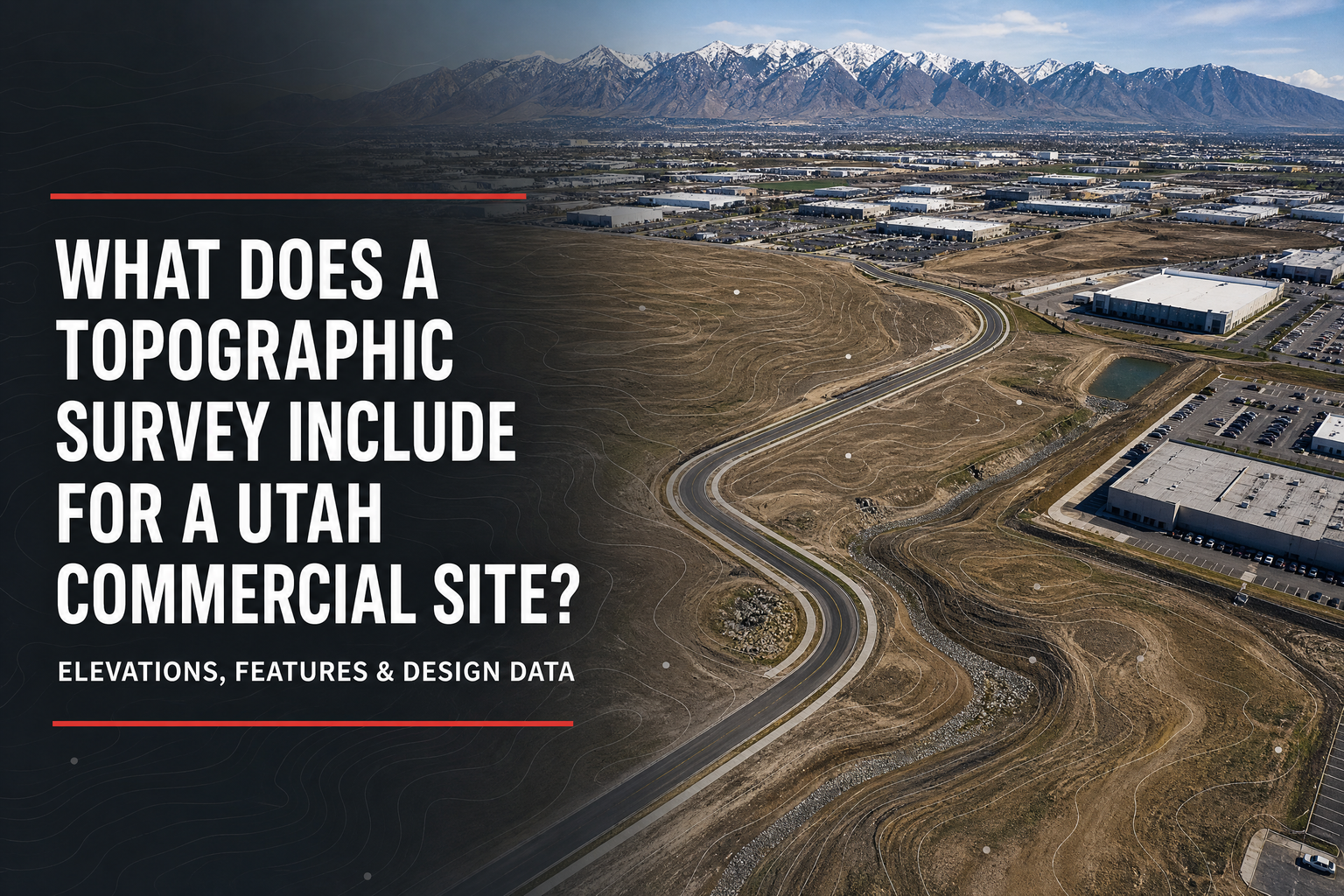
What does a topographic survey include for a Utah commercial site? It documents agreed existing conditions so the civil engineer, architect, developer, and contractor can design from reliable field information. Its scope can show elevations, contours, visible improvements, drainage features, access, utility evidence, and site elements.
Quick answer: A commercial topographic survey is a design-base deliverable. It commonly includes elevations and contours, visible site features, improvements, curbs and pavement, drainage features, and selected utility evidence. It is not automatically an ALTA survey, complete utility-locating service, or construction staking; projects may need coordinated work for those purposes.
Why a Topographic Survey Matters Before Design
Civil design depends on what already exists. Incomplete grade, drainage, access, or improvement information can require later layout revisions.
A topographic survey gives the design team a base for grading, drainage, utilities, parking, access, and site-development decisions. On Salt Lake City infill, Salt Lake Valley industrial, or Wasatch Front sites, elevation changes and existing infrastructure can affect a feasible plan.
Cook Surveying’s land-surveying and geomatics services support commercial teams with topographic and design surveys, ALTA and boundary work, construction layout, land development, aerial mapping, and related services.
Core Elements of a Commercial Topographic Survey
Set the survey scope for the project, not another site. The civil engineer may need grading and drainage information, the architect may need building and access information, and the owner may need a clear view of visible constraints.
Elevations, Contours, and Surface Conditions
Topographic data usually includes spot elevations and contours that describe ground shape. This lets the engineer evaluate slopes, identify high and low areas, and prepare grading and drainage plans. The needed detail should match the intended design use.
Visible Improvements and Site Access
The agreed scope can show buildings, curbs, pavement, drives, sidewalks, fences, walls, signs, parking, and other site features. Streets, curb cuts, drives, alleys, and visible rights-of-way can influence circulation, delivery movements, parking, and planning options.
Drainage Features and Natural Conditions
A topographic survey can document visible drainage features and natural conditions within the agreed limits, including swales, channels, ditches, watercourses, retaining areas, or significant breaks in grade. This assists the civil engineer but does not replace drainage, geotechnical, environmental, floodplain, or permitting analysis.
Utility Evidence and Site Infrastructure
A topographic survey may show visible utility features, such as boxes, meters, poles, hydrants, manholes, and overhead lines. It does not guarantee the location or depth of every underground utility. If the project needs utility designation, records research, potholing, or utility-engineering work, discuss that need early with the surveyor, engineer, and appropriate utility professionals.
| Existing-condition element | How a commercial team may use it |
| Elevations and contours | Supports grading, drainage, access, and building-pad design |
| Curbs, pavement, and parking | Helps plan circulation, parking, and tie-in work |
| Buildings, walls, and fences | Relates proposed improvements to visible site conditions |
| Drainage and natural features | Informs early stormwater and grading coordination |
| Visible utility features | Supports coordination with utility and civil-design information |
| Streets, drives, and access points | Informs site access and right-of-way planning |
How Topographic Work Fits Into Development
A commercial project may require several survey services. A boundary or ALTA/NSPS survey addresses property and title-related questions. A topographic survey documents existing conditions for design. Construction staking transfers approved locations and elevations to the field. An as-built survey can document selected completed improvements when required.
Order topographic work after the developer has identified the property and before the civil-design team makes detailed assumptions. Coordinate the surveyor, civil engineer, architect, and owner around the project limits, requested deliverables, coordinate system, available plans, access, and schedule.
Salt Lake City’s commercial and multifamily checklist calls for a fully dimensioned site plan and lists property lines, visible site infrastructure, building information, parking, a topographic survey, grading plan, and slope analysis among relevant materials. Local requirements vary, so treat this as a Salt Lake City example rather than a universal Utah rule.
What Should You Provide Before Fieldwork Begins?
Before requesting a proposal, provide:
•The site address, parcels, project boundary, and intended development area.
•Available title documents, prior surveys, civil files, aerials, and concept plans.
•The civil engineer’s requested deliverables, coordinate requirements, and file format.
•Access contacts, safety requirements, known restrictions, and deadlines.
Salt Lake City advises teams to review zoning, overlays, subdivision requirements, general plans, and site-plan requirements at the outset. Its Development Review Team and pre-submittal processes help stakeholders understand city considerations during the concept stage.
Frequently Asked Questions
Does a topographic survey establish the property boundary?
Not by itself. A boundary survey establishes or retraces property lines and corners. Confirm whether the project needs coordinated boundary work.
Does a topographic survey include underground utilities?
It can show visible utility features and certain evidence or records within the agreed scope, but it is not automatically a complete underground utility-locating service. Discuss utility needs before work begins.
When should a commercial developer order a topographic survey?
Order it before the civil engineer begins detailed site design. Early data helps the team evaluate grades, drainage, access, and existing features before plans become difficult to revise.
Use Existing Conditions to Build a Better Commercial Plan
So, what does a topographic survey include for a Utah commercial site? It is an agreed existing-conditions survey that commonly maps elevations, contours, visible improvements, drainage features, access, and selected utility evidence for design use. Early scope coordination helps Utah developers and design teams make better site, grading, drainage, and construction decisions.
Cook Surveying & Associates serves developers, contractors, utilities, public agencies, and commercial clients from Salt Lake City. To discuss topographic or design-survey scope for a Utah project, call (801) 364-4051 or email contact@cook-surveying.com.
References
[1] Salt Lake City Building Services — Commercial / Multi-Family Login Checklist