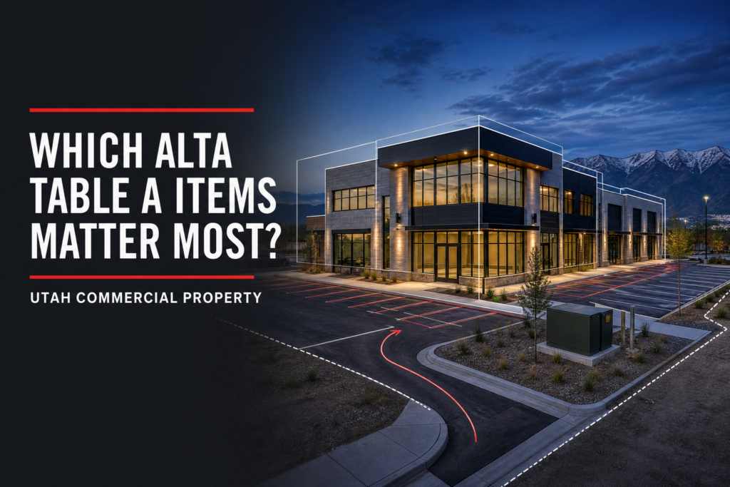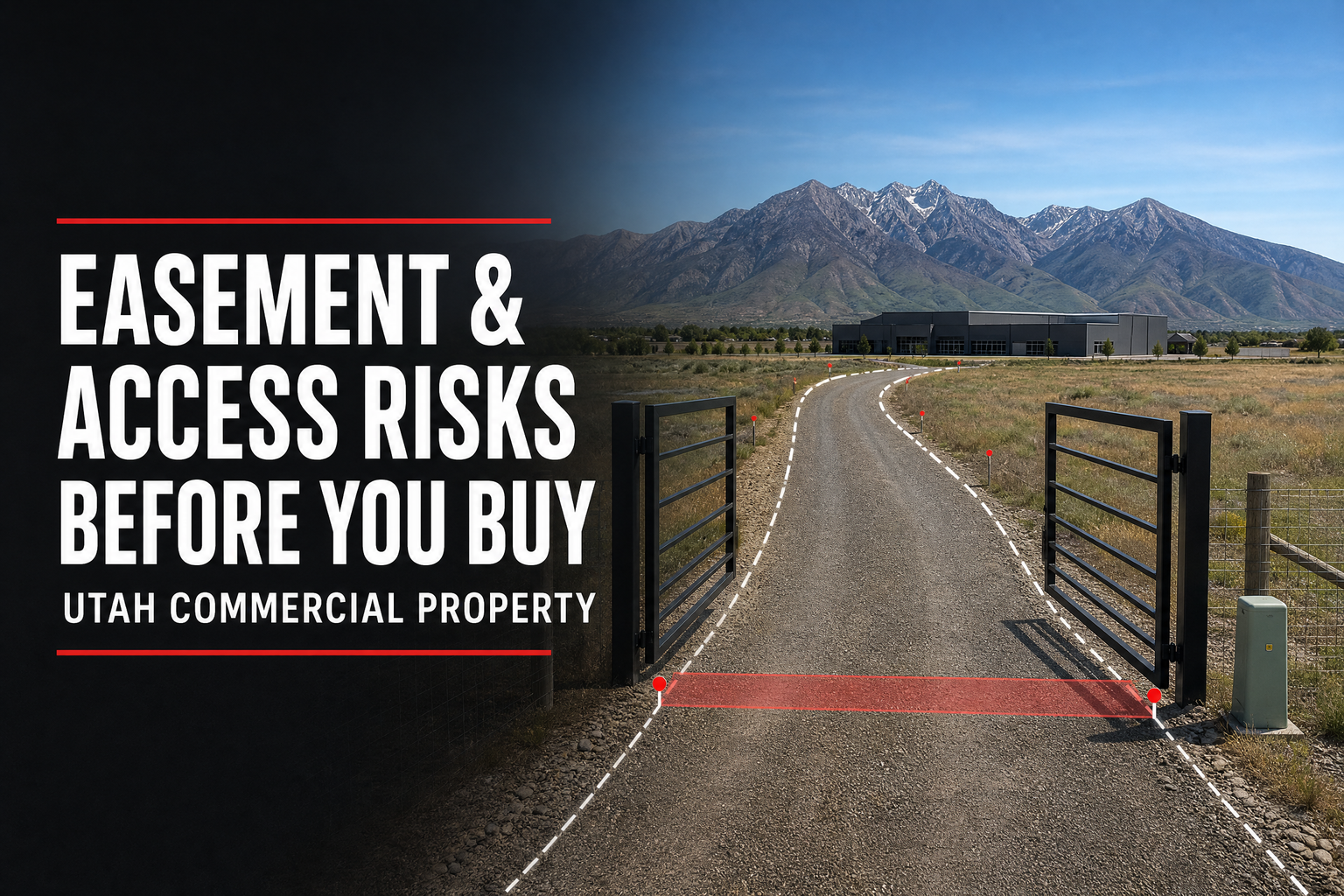
How can a land survey reveal easement and access risks before a Utah property purchase? A properly scoped survey helps a commercial buyer compare the site with title documents, the legal description, visible improvements, and intended use. That comparison can surface questions about access, easements, rights-of-way, encroachments, utility corridors, shared drives, or apparent occupation before the deal advances.
Quick answer: A survey supports commercial due diligence by locating boundaries and depicting relevant conditions within scope, while title documents identify recorded matters. Use both with the title company, attorney, and design team. A survey does not determine whether an easement is legally valid, enforceable, sufficient for intended use, or free from risk.
A Survey Is an Evidence Tool, Not a Legal Opinion
Access and easement issues have legal, title, and practical dimensions. A surveyor can establish or retrace boundaries, review provided title information, observe the site, and depict relevant findings. Title professionals and attorneys assess coverage, recorded documents, legal rights, and consequences.
NSPS explains that survey information and physical inspection can identify conditions affecting title, including encroachments, overlaps, and rights arising from use or occupation. The benefit is time to investigate or assess the deal.
Easement and Access Questions a Survey Can Help Surface
Recorded Easements and Visible Improvements
Title documents may reference utility, access, drainage, pipeline, conservation, or other easements. With the documents and scope, a survey can show their relationship to the parcel and visible improvements, prompting questions about building areas, parking, utilities, or expansion.
A drive, fence, parking area, utility feature, or building improvement may appear to cross a boundary or be used by another party. A survey can document visible conditions within scope, giving the buyer, title team, and attorney facts to review. It cannot determine that observed use creates a legal right.
Access and Shared-Use Concerns
A property can look accessible because a drive is visible, yet the team must understand legal access and whether intended use changes the question.
This matters for redevelopment, shared drives, private streets, and multi-parcel sites.
Utility and Right-of-Way Constraints
Utilities, drainage features, or public infrastructure can affect site use. Coordinate scope with the civil engineer, utility providers, title team, and attorney rather than assuming a boundary survey answers every right-of-way question.
| Due-diligence question | Survey support within scope | Other team members |
| Does a recorded easement affect the parcel or planned improvement? | Relates easement information and visible conditions to the property | Title professional, attorney, lender, engineer |
| Does the site appear to have usable access? | Locates boundaries and visible access features | Attorney, title professional, planner, civil engineer |
| Does visible use cross a property line? | Shows observed fences, drives, structures, or occupation evidence | Attorney, owner, title professional |
| Could a corridor affect site layout? | Provides property and existing-condition reference | Utility provider, civil engineer, contractor |
Order the Right Survey Before Due Diligence Tightens
The needed product depends on the transaction. A buyer may need a boundary survey, ALTA/NSPS Land Title Survey, topographic information, easement or right-of-way work, or a combination. Discuss scope when the purchase agreement, title commitment, intended plan, and deadline are known.
Cook Surveying’s land-surveying and geomatics services support commercial acquisition, development, construction, easement, and right-of-way needs.
Provide the surveyor with:
•The title commitment, exception documents, legal description, plats, and prior surveys.
•The property address, parcels, purchase timeline, certification requirements, and users.
•The concept plan plus known redevelopment, utility, access, parking, or subdivision questions.
•Site contacts, access arrangements, occupancy conditions, and review deadlines.
Consider the Intended Use and Local Context
Salt Lake City explains that zoning districts establish requirements such as height, setbacks, and uses, while overlay districts can add standards. Its subdivision ordinance addresses adequate lots for development and access. Review current requirements for the specific parcel.
For a commercial purchase, consider access alongside use, site layout, zoning, street relationship, utilities, parking, and entitlement. An easement that works for existing use may not support a new building, traffic pattern, utility demand, or multi-parcel plan.
Ask These Questions Before Removing Due-Diligence Conditions
Coordinate survey, title, legal, and design review. Ask:
•Which recorded easements, rights-of-way, access agreements, or exceptions need review?
•Does the survey need to show a specific corridor, improvement, access feature, or adjoining-parcel relationship?
•Are visible conditions inconsistent with title documents or the concept plan?
•Who will determine legal rights, title coverage, permitting requirements, and development feasibility?
Frequently Asked Questions
Can a survey confirm that a buyer has legal access?
A survey provides site evidence within scope, but legal access is a title and legal question. Coordinate with the title company and attorney.
Will every easement appear on a boundary survey?
Not automatically. The scope, title information provided, and survey type matter. Discuss the transaction and documents before authorization.
What if a driveway or fence appears to cross a boundary?
Do not assume the visible condition proves a legal right or violation. Ask the surveyor to document it within scope, then have title and legal professionals assess it.
Make Access and Easement Review Part of Due Diligence
So, how can a land survey reveal easement and access risks before a Utah property purchase? It connects the legal description, title evidence, boundaries, and visible site conditions before the transaction, design, or construction plan depends on them. Early coordination gives the buyer time to investigate with title, legal, engineering, and development professionals.
Cook Surveying & Associates serves commercial buyers, developers, lenders, title professionals, engineers, contractors, utilities, and public agencies from Salt Lake City. To discuss a Utah boundary, ALTA/NSPS, easement, or right-of-way survey, call (801) 364-4051 or email contact@cook-surveying.com.
References
[1] National Society of Professional Surveyors — 2026 ALTA/NSPS Standards