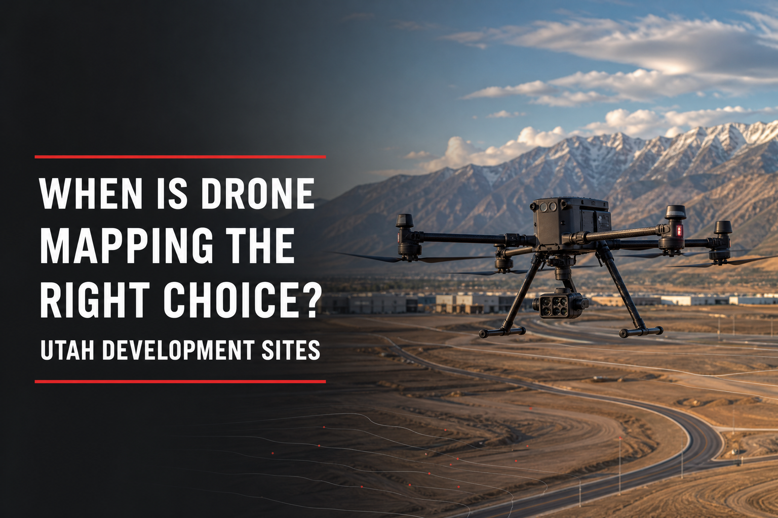
When is drone mapping the right choice for a Utah development site? It is often useful when a project needs a broad, timely view of visible conditions across a large, difficult, active, or terrain-variable property. As part of a coordinated geomatics and surveying workflow, aerial data can help commercial teams understand the site, plan work, document progress, and communicate conditions.
Quick answer: Drone mapping is most useful when a Utah development team needs aerial context, visible existing-condition data, terrain coverage, progress documentation, or a current site overview that would be difficult to collect only from the ground. It is not automatically a substitute for boundary surveying, title work, engineering, underground-utility investigation, permitting, or the scope required for a particular decision.
What Drone Mapping Can Support
Depending on equipment, control, processing, and deliverable, aerial mapping can support current imagery, site views, terrain information, visible-feature documentation, stockpile observations, and progress records. Scope should identify the question, required accuracy, data users, and project stage.
Cook Surveying & Associates lists aerial mapping services among its land-surveying and geomatics capabilities. Its work supports commercial and industrial development, utilities, pipelines, power-transmission facilities, and other projects where reliable spatial information helps teams make better decisions.
Situations Where Drone Mapping Is Often a Good Fit
Large or Difficult-to-Reach Sites
Aerial collection can be useful when a property is expansive, has changing grades, contains visible features over a wide area, or would take significant time to view from the ground. It gives the team a shared visual reference.
Existing Conditions and Early Planning
Before detailed design, teams may need visible terrain, roads, drainage features, structures, parking, access routes, and other conditions. Drone mapping can complement field surveying with broad context and a current visual record. Scope should specify needed control, limits, and intended use.
Salt Lake City’s commercial and multifamily checklist identifies property lines, buildings, site infrastructure, parking, a topographic survey, grading plan, and slope analysis among relevant site-plan materials. Drone mapping may support visible existing-condition collection and communication, but it does not automatically satisfy all city, survey, engineering, or permitting requirements.
Construction Progress, Corridors, and Surface Features
Aerial data can document visible progress, support phase discussions, and give remote decision-makers a current site perspective. It can also help where a corridor, stockpile, or surface feature requires broad coverage or repeat documentation.
| Project need | When drone mapping can help | What to confirm first |
| Broad site view | Large, open, visible features or changing terrain | Required control, coverage, and deliverables |
| Early planning | Team needs a current visual reference | Intended use, data users, and other survey needs |
| Construction progress | Active site needs repeatable documentation | Schedule, safety plan, access, and reporting format |
| Corridor context | Long, visible routes or surface features need review | Limits, access rights, and utility coordination |
| Topographic-support workflow | Aerial information complements field work | Accuracy, control, engineering needs, and final scope |
When Drone Mapping Is Not the Standalone Answer
Aerial data cannot automatically establish a legal boundary, resolve title matters, interpret an easement, locate all underground utilities, see through every obstruction, or replace engineering analysis. Tree cover, buildings, shadows, weather, restricted airspace, active operations, site access, and required accuracy can affect whether a drone approach is useful.
For acquisition, the team may need boundary or ALTA/NSPS work. For civil design, coordinate base information and deliverables. For construction, drone mapping may complement—not replace—control, staking, and layout.
Account for FAA and Site Conditions
Commercial drone work is subject to applicable FAA requirements. The FAA states that small drones used for work or business can operate under Part 107 when the operator follows the guidelines; commercial operators must address items such as pilot certification, registration, airspace authorization where required, Remote ID, and safe operations.
Near Salt Lake City, do not assume a flight can proceed because the site is open or privately owned. The operator must evaluate airspace, weather, people, structures, nearby airports, site activity, and other conditions.
Questions to Ask Before Requesting Drone Mapping
Clarify the project decision, not just the aircraft. Before authorization, identify:
•The site area, features, dates, and deliverables required.
•The owner, developer, engineer, contractor, utility, or agency users.
•Required accuracy, control, file formats, reporting, and repeat-collection needs.
•Access restrictions, active operations, safety issues, weather constraints, and airspace considerations.
Frequently Asked Questions
Is drone mapping the same as a boundary survey?
No. Drone mapping can provide aerial and visible existing-condition information, but a boundary survey is a separate professional service with its own scope and standards.
Can drone mapping replace a topographic survey?
Not automatically. It may support a topographic workflow, but the surveyor and engineer should confirm the needed control, accuracy, deliverables, and design use.
Can a provider fly a drone anywhere on a Utah project site?
No. Each flight must account for applicable FAA rules and actual conditions, including airspace, safety, weather, nearby activity, and site access.
Choose Drone Mapping When It Solves the Right Site Problem
So, when is drone mapping the right choice for a Utah development site? It is valuable when a commercial project needs timely aerial context, visible existing-condition coverage, progress documentation, terrain understanding, or a common visual reference across a complex site. Define the decision, coordinate aerial work with ground survey and design needs, and confirm flight conditions early.
Cook Surveying & Associates serves developers, contractors, utilities, industrial clients, public agencies, and commercial teams from Salt Lake City. To discuss aerial mapping and geomatics support for a Utah project, call (801) 364-4051 or email contact@cook-surveying.com.
References
[1] Salt Lake City Building Services — Commercial / Multi-Family Login Checklist
[2] Federal Aviation Administration — Certificated Remote Pilots including Commercial Operators