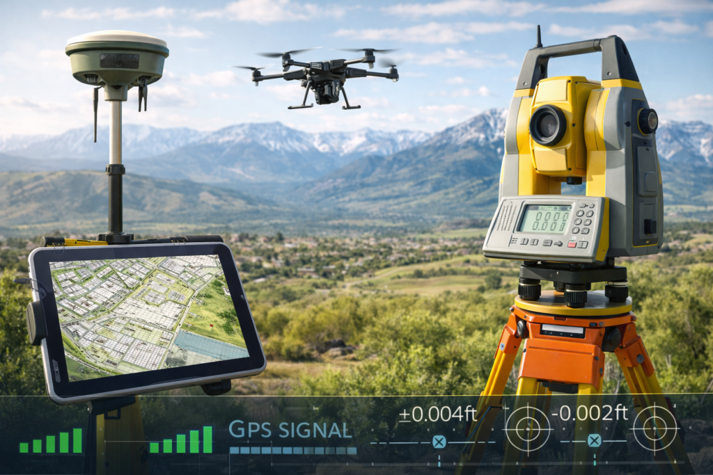
Global Positioning System (GPS) technology has transformed the field of land surveying. It offers surveyors the ability to collect precise location data quickly and efficiently. However, like any technology, GPS surveying has its disadvantages. In this article, we’ll explore the downsides of surveying with GPS, shedding light on the limitations and challenges that surveyors may encounter.
The Advantages of GPS Surveying
Before delving into the disadvantages, it’s essential to acknowledge the benefits of GPS surveying. GPS technology provides several advantages, including:
- Accuracy: GPS offers high levels of accuracy, making it ideal for many surveying applications.
- Efficiency: Surveyors can collect data more quickly and cover larger areas compared to traditional surveying methods.
- Versatility: GPS can be used for various surveying tasks, from boundary surveys to construction site mapping.
- Remote Data Collection: GPS allows surveyors to collect data in remote or challenging terrains.
Now, let’s turn our attention to the disadvantages.
1. Signal Interference
One significant drawback of GPS surveying is signal interference. GPS signals from satellites can be obstructed or weakened by tall buildings, dense vegetation, or atmospheric conditions. In urban environments or heavily wooded areas, surveyors may struggle to maintain a strong and consistent signal, leading to less accurate data.
2. Limited Vertical Accuracy
While GPS excels in horizontal accuracy, it often falls short in vertical accuracy. This limitation can be problematic for applications that require precise elevation measurements, such as floodplain mapping or construction projects with elevation requirements.
3. Cost of Equipment
Acquiring and maintaining GPS surveying equipment can be expensive. High-quality GPS receivers and related technology come with a substantial price tag. Surveyors also need to invest in training to use the equipment effectively, adding to the overall cost.
4. Data Post-Processing
GPS survey data often requires post-processing to achieve the desired level of accuracy. This additional step can be time-consuming and may require specialized software and expertise.
5. Vulnerability to Spoofing and Jamming
GPS signals are vulnerable to spoofing and jamming. Spoofing involves sending false GPS signals to mislead receivers, while jamming involves disrupting GPS signals intentionally. Such attacks can compromise the accuracy and reliability of GPS survey data.
6. Limited Indoor Use
GPS signals are typically not accessible indoors, limiting their usability for projects that involve indoor spaces. Surveyors often need alternative methods for collecting data inside buildings or structures.
7. Dependence on Satellite Availability
GPS depends on the availability of GPS satellites. If satellite signals are temporarily unavailable due to maintenance, technical issues, or other reasons, surveying operations may be delayed.
8. Data Privacy Concerns
In some cases, GPS data may raise privacy concerns. For example, when mapping urban areas or private properties, there can be ethical considerations about the collection and use of location data.
9. Learning Curve
GPS requires specialized knowledge and training. Surveyors must become proficient in using GPS equipment and software, which can involve a steep learning curve for those new to the technology.
10. Environmental Impact
The production and disposal of GPS equipment can have environmental impacts. Additionally, the reliance on GPS technology for data collection may discourage the use of more sustainable or traditional surveying methods.
Conclusion: The Downsides of Surveying with GPS
While GPS surveying offers numerous advantages in terms of accuracy, efficiency, and versatility, it is not without its disadvantages. Surveyors must consider factors such as signal interference, limited vertical accuracy, equipment costs, and vulnerability to signal spoofing and jamming.
Despite these drawbacks, GPS technology remains a valuable tool in land surveying. The key to successful GPS is understanding its limitations and mitigating them through proper equipment maintenance, data post-processing, and expertise.
As GPS technology continues to evolve, addressing some of these disadvantages may become more feasible. Innovations in receiver technology, signal augmentation systems, and anti-spoofing measures are ongoing areas of development within the field of GPS.
In conclusion, GPS surveying is a powerful tool that, when used judiciously and with an awareness of its limitations, can provide accurate and efficient data for a wide range of surveying applications.
American Association for Geodetic Surveying (AAGS): AAGS provides valuable insights and resources for professionals in the field of geodetic surveying.