
Transitioning from traditional methods relying heavily on manual measurements and tools, the realm of land surveying is now dominated by GPS technology. But how precise and reliable are GPS land surveys? Journey with us into the world of GPS technology’s application in land surveying, evaluating its accuracy and the factors influencing its effectiveness, aided by insights from resources like GPS.gov.
A Glimpse into GPS Land Surveys
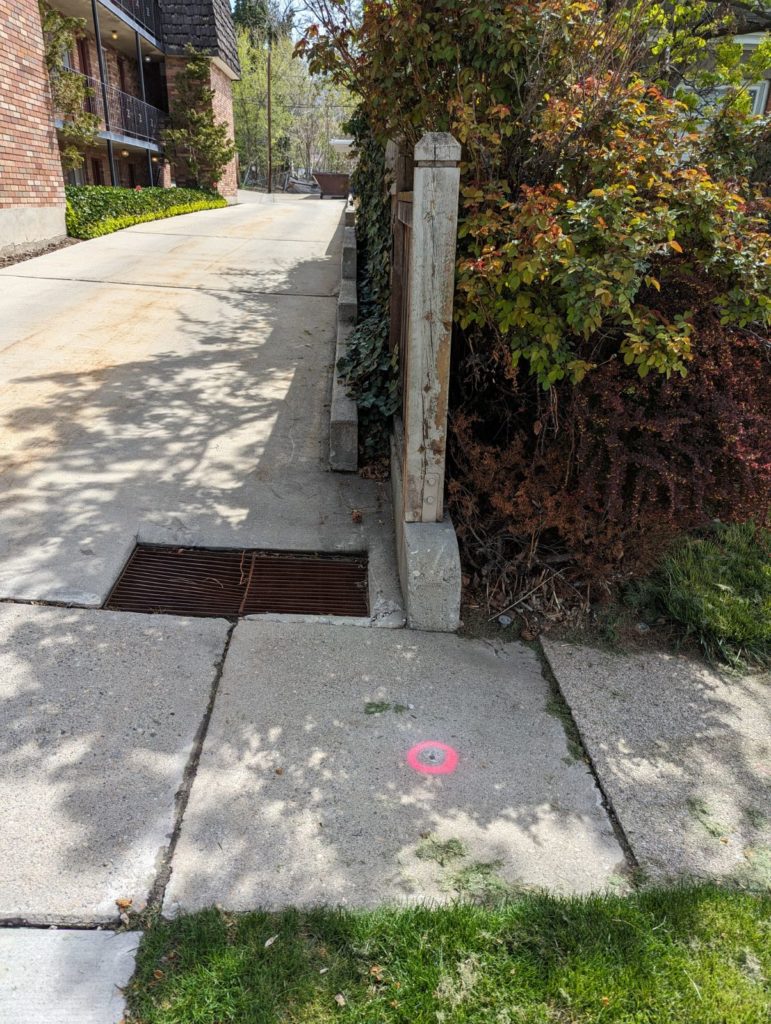
GPS technology, harnessing signals from Earth-orbiting satellites, determines exact geographic coordinates with exceptional accuracy. Surveyors utilize GPS receivers to collect data, enabling the crafting of detailed maps, establishing property boundaries, and assessing topographical features, with examples showcased on our projects page.
Measuring the Accuracy
Known for its renowned precision, a GPS land survey can achieve horizontal accuracy between 1 to 5 cm and vertical accuracy of 2 to 10 cm under optimal conditions, a testament to the technology’s evolving sophistication.
Variables Affecting Precision
The precision of GPS land surveys, though significant, is influenced by various elements:
Satellite Configuration
The spatial arrangement of satellites is essential. Greater accuracy is achieved with an expansive satellite spread, insights further elaborated in journals from National Aeronautics and Space Administration (NASA).
Atmospheric Dynamics
The speed at which GPS signals traverse through the ionosphere and troposphere can influence accuracy, a phenomenon studied extensively by NOAA.
Multi-path Interference
When GPS signals reflect off structures before reaching the receiver, errors can occur, a challenge often mitigated with advanced receivers and methodologies.
Equipment Caliber
The grade of the GPS receiver significantly impacts the accuracy of the data captured, with advanced models, as reviewed on tech sites like CNET, offering enhanced precision.
Obstructions to Signals
Physical obstructions can impact signal reception. Surveyors strategize to maintain a clear signal path, incorporating insights from field practices highlighted on our Latest News & Articles.
Practical Utilization of GPS Land Surveys
GPS surveys’ precision has made them indispensable across sectors:
Defining Property Limits
Essential for landowners and developers in demarcating property boundaries and reducing disputes.
Building and Engineering Initiatives
In construction and engineering, GPS surveys play a pivotal role in site mapping and planning.
Agricultural Sector
In precision agriculture, these surveys optimize planting and harvesting, as elaborated in publications from USDA.
Environmental Conservation
Environmentalists leverage GPS data for ecosystem monitoring and conservation planning.
Managing Disasters
During disasters, real-time GPS data aids emergency response, a concept further explored by organizations like FEMA.
Wrapping Up
The nuanced world of GPS land surveys, though marked by exceptional accuracy, is nuanced and influenced by various factors. As technology advances, anticipation builds for heightened precision and expanded applications, promising an enriched future landscape for land surveying and mapping. Explore more on technological advancements in surveying on our services page.