For property owners, buyers, or anyone involved in real estate in Salt Lake City, Utah, knowing how to view property lines can be crucial for planning and verification purposes. Google Maps offers a convenient, although not legally binding, way to view approximate property boundaries. This article explains how to access property lines using Google Maps and discusses the limitations and considerations when using this tool for property boundary visualization.
Accessing Property Lines on Google Maps
Step-by-Step Guide to Viewing Property Lines
- Open Google Maps: Start by navigating to the Google Maps website or opening the app on your device.
- Search for Your Property: Enter the address of the property in the search bar and press enter. Zoom in to the property location as closely as possible.
- Switch to Satellite View: Click on the “Satellite” view option at the bottom left corner of the map. This view will show you an aerial photograph of the area.
- Look for Indications of Boundaries: While Google Maps does not explicitly mark property lines, you can often infer boundaries from the satellite images based on fences, roads, or the lines between different types of land uses (e.g., where a lawn ends and farmland begins).
Understanding the Limitations
Accuracy and Legality
- Not Legally Recognized: It’s important to understand that the boundaries seen on Google Maps are not legally recognized and should not be used for official purposes. This means they are not suitable for legal disputes, property sales, or as a substitute for a professional land survey.
- Potential for Inaccuracy: Google Maps is not updated in real-time, and changes to landscapes or property developments may not be immediately reflected. This can lead to significant discrepancies between the displayed images and the current state of the land, potentially leading to misunderstandings or incorrect assumptions about property boundaries.
Reliance on Satellite Imagery
- Imagery Limitations: The satellite images used by Google Maps might be outdated or of low resolution, especially in rural or less-populated areas, which can further complicate the accuracy of identifying property lines.
- Environmental Obstructions: Physical obstructions such as tall trees, buildings, or weather conditions at the time the images were taken can obscure clear views of boundary lines.
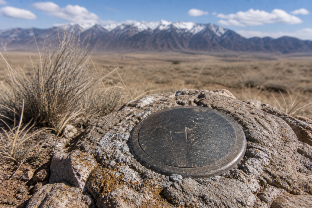
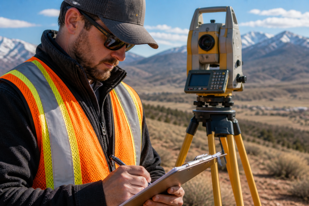
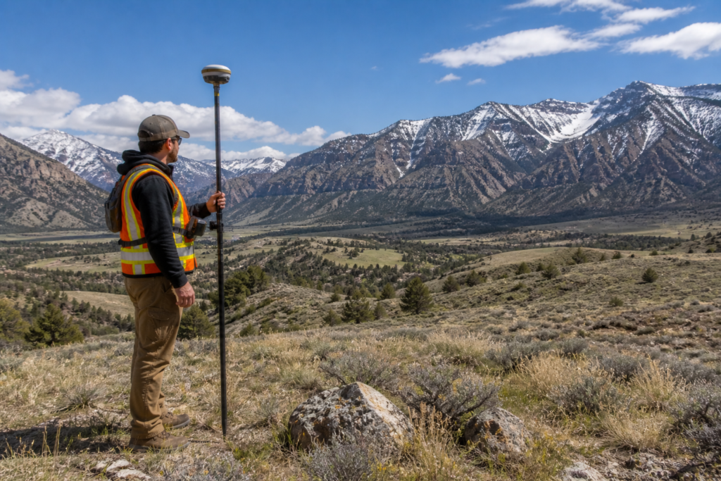
For accurate and up-to-date information, consulting a professional land surveyor is recommended. Local firms like Cook Surveying can provide the precision and legal recognition needed for all types of property assessments in Salt Lake City.
Alternative Tools and Resources
GIS and Local Government Resources
- GIS Systems: Many local governments provide Geographic Information System (GIS) tools on their websites, which can offer more precise property line information along with other parcel data.
- County Assessor’s Website: Check your local county assessor’s website for tools or maps that provide detailed parcel information, which often includes official property boundaries.
For a deeper understanding of how GIS technology can assist in property boundary visualization, visiting platforms like Esri’s ArcGIS might be helpful.
Conclusion:
While Google Maps can provide a general idea of where property lines might lie, it should not be relied upon for any legal purposes or detailed planning. For those needing to know exact property boundaries in Salt Lake City, or anywhere else, engaging with a qualified land surveyor or accessing official GIS resources is essential. Accurate property line identification can prevent legal disputes and ensure proper land use planning.
External Links:
- National Society of Professional Surveyors for more information on surveying practices.
- Google Maps Directory for direct access to the platform.