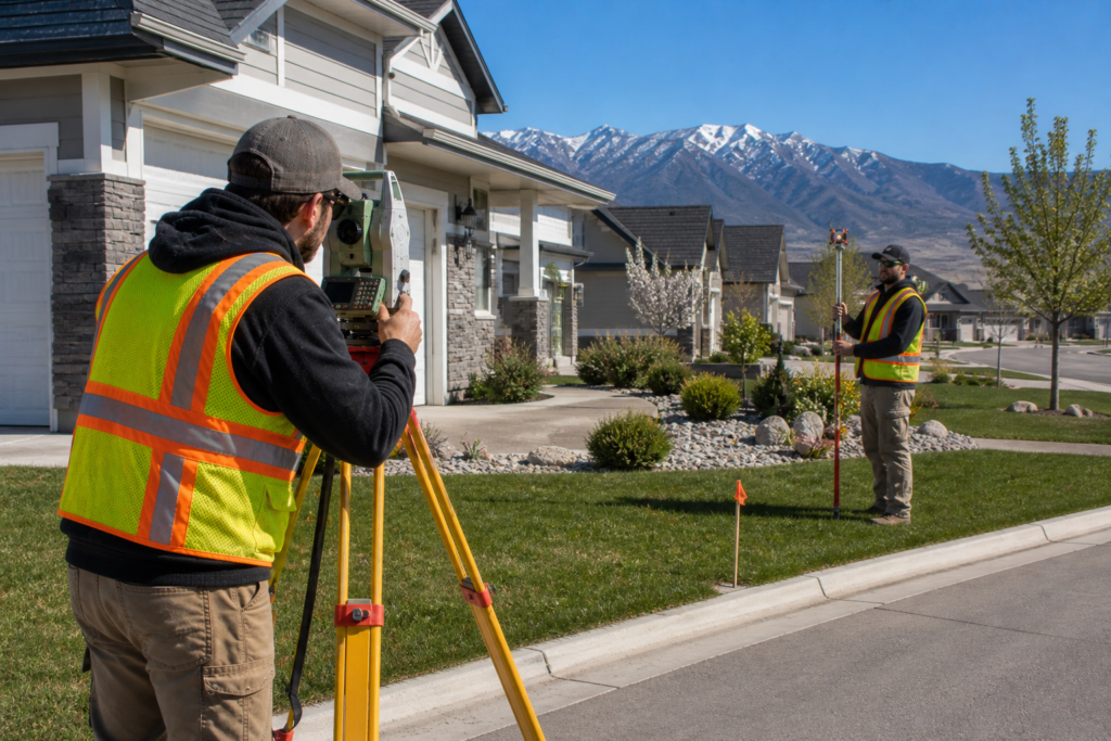
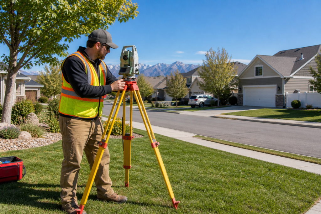
Surveys are one of the most important tools in land ownership, property development, and real estate. However, they are not without their limitations. If you are asking what are 3 disadvantages of surveys, you are probably trying to decide whether a survey is worth it for your situation — or you want to understand what to watch out for before you get started. In this article, we cover the key disadvantages of land surveys, explain why they exist, and show you how working with the right professional can minimize their impact on your project.
Disadvantage 1: Cost
One of the most common concerns property owners have about land surveys is the cost. Depending on the type of survey, the size of the property, and the complexity of the terrain, a professional land survey in Utah can range from a few hundred dollars to several thousand.
Several factors drive up the cost of a survey, including:
- Large or irregularly shaped properties that require more time in the field
- Remote locations that are difficult to access
- Properties with complicated legal histories or conflicting records
- Terrain challenges like steep slopes, dense vegetation, or canyon land
- The type of survey required, since an ALTA/NSPS survey costs significantly more than a basic boundary survey
However, it is important to keep the cost of a survey in perspective. The price of a professional survey is almost always far less than the cost of a boundary dispute, a construction error, or a legal problem caused by inaccurate property information. In other words, a survey is an investment in protecting what is often the most valuable asset you own.
Furthermore, Utah’s rapid growth means that property values are rising across the state. Because of this, getting an accurate survey before buying, selling, or building is more important than ever.
Disadvantage 2: Time
Another disadvantage of land surveys is the time they take to complete. Many property owners are surprised to find out that a survey does not happen overnight. Depending on the scope of the project, a completed survey report can take anywhere from a few days to several weeks.
Here is why surveys take time:
- Field work must be scheduled around weather conditions and site access
- Surveyors need to research historical records, deeds, and prior surveys before heading into the field
- Data collected in the field must be carefully processed and verified in the office
- Complex properties may require multiple site visits to gather all necessary information
- The final report must be reviewed, certified, and stamped by a licensed Professional Land Surveyor
As a result, property owners should plan ahead and order a survey well before they need the results. For example, if you are purchasing a property and need a survey for closing, give your surveyor as much lead time as possible to avoid delays.
In addition, rushing a survey to meet a tight deadline can sometimes lead to corners being cut. Because of this, working with an experienced firm that manages its schedule carefully is essential. You can learn more about what goes into the process in our article on How to Read and Understand Your Land Survey Report.
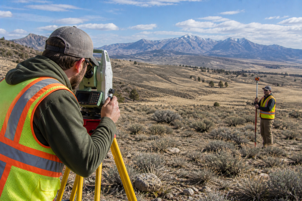
Disadvantage 3: Limitations in Accuracy
While modern land surveys are extremely precise, no survey is perfectly free from error. Every measurement carries a small margin of uncertainty, and certain conditions can make achieving high accuracy more difficult.
Factors that can limit survey accuracy include:
- Poor or missing historical monuments and reference points
- Conflicting records from older surveys, deeds, or legal descriptions
- Environmental conditions like heavy vegetation, steep terrain, or unstable ground
- Equipment limitations in challenging environments such as deep canyons or dense urban areas
- Human error in data collection or processing
Furthermore, older surveys completed decades ago may have used less precise equipment and methods than what is available today. As a result, resurveying a property sometimes reveals discrepancies between what older records show and where boundaries actually fall on the ground.
However, it is important to understand that these limitations do not mean surveys are unreliable. On the contrary, a survey performed by a licensed Professional Land Surveyor using modern equipment is the most accurate and legally defensible way to determine property information available today. The key is hiring someone with the experience to identify and account for potential sources of error before they become problems.
Are the Disadvantages Worth It?
Despite these three disadvantages, the value of a professional land survey almost always outweighs the drawbacks. Consider what a survey actually protects you from:
- Buying a property with boundary encroachments you did not know about
- Building a structure that violates setback requirements or crosses a property line
- Getting into a costly legal dispute with a neighbor over a fence or driveway
- Discovering easements or restrictions on your land after you have already purchased it
- Losing money on a real estate transaction because of inaccurate property information
In addition, many situations in Utah actually require a survey by law or by lender requirement. For instance, subdividing land, securing certain types of financing, or recording a new plat all typically require a licensed survey. You can read more about when a survey is legally required in our article on When Is a Land Survey Required in Utah?
How to Minimize the Disadvantages
The good news is that working with the right surveying firm significantly reduces the impact of all three disadvantages. Here is how:
- On cost — an experienced firm gives you an accurate quote upfront and recommends the right type of survey for your needs, so you are not paying for more than necessary
- On time — a well-organized firm with a clear process gets your results back efficiently without sacrificing accuracy
- On accuracy — a licensed Professional Land Surveyor with local knowledge of Utah’s terrain and records knows exactly how to handle the challenges your property presents
Key Takeaways
- The three main disadvantages of land surveys are cost, time, and limitations in accuracy
- Survey costs vary based on property size, terrain, location, and survey type
- Planning ahead reduces the impact of survey timelines on your project
- Accuracy limitations can be minimized by hiring a licensed, experienced surveyor
- The cost of a survey is almost always less than the cost of a boundary dispute or legal problem
- Modern equipment and local expertise help surveyors overcome most accuracy challenges
Helpful Resources
- National Society of Professional Surveyors (NSPS) — national standards, education, and resources for professional land surveyors
- Utah Association of Land Surveyors (UALS) — Utah-specific licensing, continuing education, and professional development
Conclusion
So what are 3 disadvantages of surveys? Cost, time, and accuracy limitations are the three most common challenges property owners face. However, each of these disadvantages can be managed effectively when you work with a licensed, experienced Professional Land Surveyor who understands Utah’s land, laws, and terrain.
At Cook Surveying & Associates, we have been helping Utah property owners navigate these challenges since 2001. We provide honest quotes, clear timelines, and accurate results on every project we take on.
Contact Cook Surveying & Associates today and let us help you move forward with confidence.