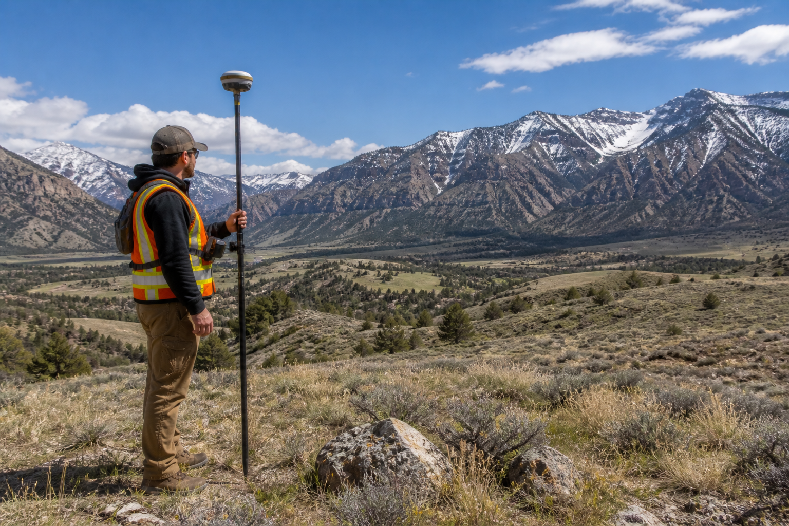
GPS technology has made land surveying faster and more efficient than ever before. However, it is not a perfect solution for every situation. If you are wondering what the disadvantages of surveying with GPS are, you are asking exactly the right question. Understanding where GPS falls short helps you make better decisions about your property and ensures you hire the right team for the job. In this article, we break down the key limitations of GPS surveying and explain what experienced Utah surveyors do to work around them.
GPS Surveying Is Not Perfect in Every Environment
One of the biggest disadvantages of GPS surveying is that it depends heavily on a clear line of sight to satellites. Because of this, certain environments can seriously reduce accuracy or make GPS surveying nearly impossible on its own.
Common environmental challenges include:
- Dense tree canopy that blocks satellite signals
- Deep canyons and narrow gorges, which are common across southern and central Utah
- Tall buildings and urban corridors in cities like Salt Lake City
- Mountain terrain that limits the number of visible satellites
- Heavy cloud cover and severe weather conditions
For example, a property survey in a densely wooded area near the Wasatch Mountains can be extremely difficult to complete with GPS alone. In those cases, a skilled surveyor will combine GPS with traditional methods like total stations to maintain accuracy.
Signal Interference Can Affect Results
Another disadvantage of GPS surveying is signal interference. Even in open environments, several factors can disrupt the GPS signal and reduce the quality of the data collected.
Sources of GPS signal interference include:
- Radio frequency interference from nearby power lines or electronic equipment
- Multipath errors, which happen when signals bounce off buildings or other surfaces before reaching the receiver
- Ionospheric and tropospheric delays caused by atmospheric conditions
- Poor satellite geometry, meaning the satellites available at a given time are not spread out enough to provide accurate positioning
As a result, surveyors must carefully plan when and where they collect GPS data. In addition, they often use multiple observation sessions to verify their results and catch any errors caused by interference.
GPS Alone Cannot Replace All Traditional Methods
While RTK GPS is accurate to within one to two centimeters for most applications, there are situations where that level of precision is simply not enough. For instance, certain engineering surveys require millimeter-level accuracy that only traditional instruments like total stations can reliably deliver.
Furthermore, GPS measures positions in three dimensions using satellite geometry. However, translating those positions into meaningful ground elevations requires additional processing and reference data. Because of this, vertical accuracy from GPS is generally weaker than horizontal accuracy, and surveyors often use traditional leveling methods to verify elevation data.
In short, GPS is a powerful tool, but it works best as part of a broader set of surveying methods rather than as a standalone solution.
Equipment and Setup Costs
Professional GPS surveying equipment is expensive. RTK GPS systems, base stations, and the software needed to process data represent a significant investment. For smaller surveying firms or individual surveyors, keeping up with the latest technology can be a financial challenge.
However, for clients, this also means that high-quality GPS surveying requires hiring a firm that invests in modern, well-maintained equipment. Outdated or poorly calibrated GPS equipment can produce results that look accurate on paper but contain hidden errors that cause serious problems later.
That is why it is so important to work with an established, experienced firm. At Cook Surveying & Associates, we invest in the latest technology to make sure every project meets the highest standards of accuracy. You can learn more about how modern tools are changing the profession in our article on Modern Land Surveying Technology in Utah: How Accuracy Has Improved.
GPS Requires Skilled Interpretation
Another often overlooked disadvantage is that GPS data requires expert interpretation. Collecting raw GPS data is only the first step. After that, a licensed surveyor must process, analyze, and verify the data to make sure it is accurate and legally sound.
Without proper training and experience, GPS data can be misread or misapplied. For example, a small error in setting up the base station can introduce a systematic offset that affects every measurement taken during a survey. Because of this, the skill of the surveyor matters just as much as the quality of the equipment.
In Utah, all legally binding survey work must be performed and certified by a licensed Professional Land Surveyor. No GPS app or consumer device can replace that professional judgment and accountability.
What About Phone Apps and Consumer GPS?
It is worth addressing consumer GPS devices and phone apps directly, because many property owners try to use them before calling a professional. While these tools have improved over the years, they are still accurate to only about 3 to 5 meters under ideal conditions.
That margin of error is far too large for legal boundary work. In fact, a 3-meter error on a property line could mean:
- A fence built well onto a neighbor’s property
- A structure that violates setback requirements
- A boundary dispute that ends up in court
Furthermore, consumer apps do not account for legal descriptions, deed records, historical monuments, or any of the other factors that a licensed surveyor must consider. As a result, they should only be used as a rough reference, never as a substitute for professional surveying.
Key Takeaways
- GPS surveying struggles in areas with heavy tree cover, deep canyons, and urban environments
- Signal interference from buildings, power lines, and atmospheric conditions can affect accuracy
- GPS vertical accuracy is weaker than horizontal accuracy and often needs verification
- Professional GPS equipment is expensive and requires proper maintenance and calibration
- GPS data must be interpreted by a licensed, experienced surveyor to be legally valid
- Consumer GPS apps are not accurate enough for legal boundary determination
- The best results come from combining GPS with traditional surveying methods
Helpful Resources
- National Society of Professional Surveyors (NSPS) — professional standards, education, and advocacy for land surveyors across the country
- Utah Association of Land Surveyors (UALS) — Utah-specific licensing information, continuing education, and professional networking
Conclusion
So what are the disadvantages of surveying with GPS? Environmental obstacles, signal interference, vertical accuracy limitations, equipment costs, and the need for skilled interpretation are all real challenges that come with GPS-based surveying. However, in the hands of an experienced licensed surveyor, these disadvantages can be managed effectively by combining GPS with traditional methods and applying professional judgment at every step.
Utah’s diverse terrain makes it more important than ever to work with a surveying team that understands both the technology and the landscape. Cook Surveying & Associates has been solving exactly these kinds of challenges for Utah property owners and developers since 2001.
Contact Cook Surveying & Associates today to talk through your project with our licensed team.