If you have ever watched a surveyor set up equipment in a field and wondered how accurate is a GPS land survey, you are not alone. GPS technology has completely changed the way land surveyors collect data, but many property owners are still unsure how reliable it really is. The short answer is that modern GPS surveying is extremely accurate, but there are important details every property owner in Utah should understand before relying on it for their project.
How GPS Surveying Works
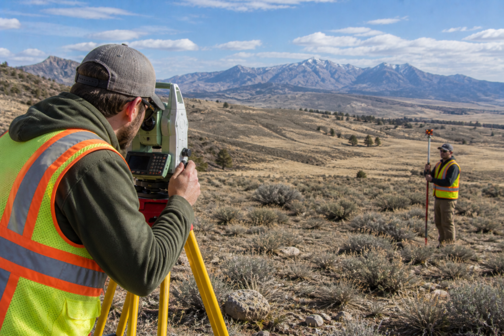
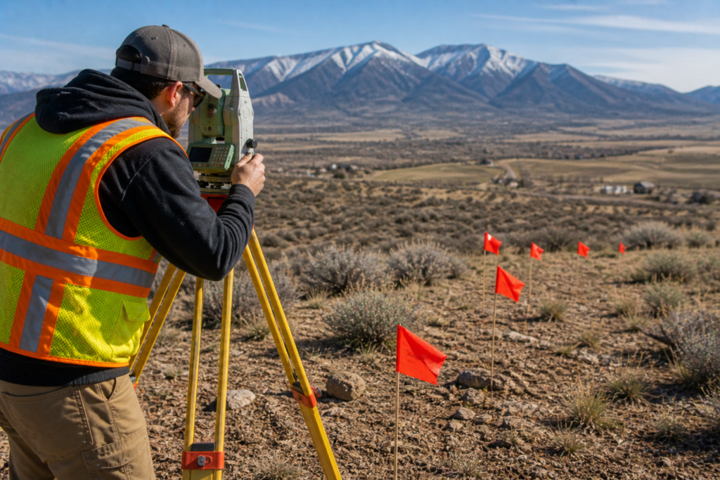
GPS land surveying is not the same as the navigation app on your phone. Professional surveyors use a specialized form of GPS called Real-Time Kinematic GPS, or RTK GPS, which is far more precise than consumer-grade devices.
Here is how it works:
- A base station is set up at a known reference point with a fixed, verified location
- A rover unit is carried by the surveyor across the property
- The rover communicates with the base station in real time to calculate corrections
- Those corrections eliminate most of the signal errors that reduce accuracy
- The result is positional data accurate to within one to two centimeters
That level of precision is more than sufficient for the vast majority of surveying work, including boundary surveys, topographic surveys, and construction staking.
How Accurate Is GPS Surveying Compared to Traditional Methods?
Traditional surveying relied on optical instruments like transits and theodolites to measure angles and distances. These tools were highly accurate in the hands of a skilled surveyor, but they were also slow and labor-intensive.
Modern RTK GPS delivers comparable or better accuracy in far less time. Here is a general comparison:
- Traditional total station surveys: accurate to within 1 to 3 millimeters under ideal conditions
- RTK GPS surveys: accurate to within 1 to 2 centimeters horizontally and 2 to 3 centimeters vertically
- Network RTK systems: can push accuracy even closer to total station levels
For most property and boundary work in Utah, RTK GPS provides all the accuracy needed. For highly technical or large-scale projects, surveyors often combine GPS with total stations to get the best of both methods.
What Affects GPS Survey Accuracy?
While GPS surveying is incredibly precise, several factors can impact its accuracy in the field. Utah’s terrain creates some unique challenges that experienced surveyors know how to work around.
Factors that can reduce GPS accuracy include:
- Tree canopy and vegetation — dense trees can block satellite signals and reduce accuracy
- Canyon walls and steep terrain — common across southern and central Utah, these can limit how many satellites a receiver can see
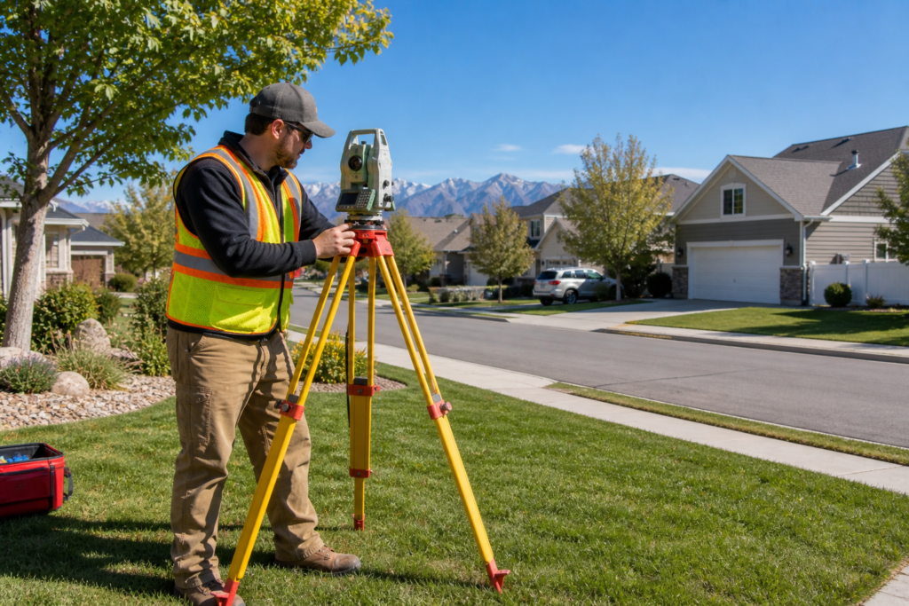
- Buildings and structures — urban areas like Salt Lake City can cause signal multipath errors
- Atmospheric conditions — ionospheric and tropospheric interference can affect signal quality
- Poor satellite geometry — the position of satellites in the sky at any given time affects precision
A skilled surveyor accounts for all of these factors, either by choosing the right time to collect data, using additional control points, or combining GPS with other measurement methods.
When GPS Surveying Is the Right Choice
GPS land surveying is an excellent choice for a wide range of projects across Utah. It works especially well in open terrain, which is plentiful across the state.
GPS surveying is ideal for:
- Large rural or agricultural property surveys
- Pipeline and utility corridor mapping
- Topographic data collection across open land
- Construction staking on large sites
- GIS data collection and mapping projects
At Cook Surveying & Associates, we use GPS technology alongside traditional methods and advanced drone mapping services to deliver accurate, efficient results across Utah’s diverse landscape.
When GPS Surveying Has Limitations
GPS is not always the best standalone tool. In certain environments and project types, traditional methods or a combination of approaches will produce better results.
GPS surveying may not be ideal when:
- Working in deep canyons or narrow urban corridors where satellite visibility is limited
- Conducting work under heavy tree canopy
- Performing extremely high-precision engineering surveys that require millimeter accuracy
- Working in areas with strong radio frequency interference
In these situations, a licensed surveyor will adjust the approach to maintain accuracy. That is why local knowledge and experience matter so much in Utah, where the landscape can shift dramatically from one county to the next.
GPS vs. Phone Apps for Property Lines
One question that comes up often is whether a phone app can replace a professional GPS survey. The answer is no. Consumer GPS devices, including smartphones, are accurate to within 3 to 5 meters under ideal conditions. That is nowhere near precise enough for legal boundary determination.
A difference of even one meter on a property line can mean:
- A fence built on the wrong side of a boundary
- A structure that encroaches on a neighbor’s land
- Legal disputes that cost far more than a professional survey ever would
Always rely on a licensed Professional Land Surveyor for any work involving legal property boundaries. You can learn more about the different options available in our article on Understanding the Different Types of Land Surveys in Utah.
Key Takeaways
- RTK GPS surveying is accurate to within 1 to 2 centimeters for most applications
- Professional GPS surveying is far more precise than any consumer device or phone app
- Terrain, vegetation, and atmospheric conditions can affect GPS accuracy
- Skilled surveyors combine GPS with traditional methods when conditions require it
- Utah’s varied landscape requires surveyors with local knowledge and experience
- Always hire a licensed PLS for legally binding survey work
Helpful Resources
- National Society of Professional Surveyors (NSPS) — standards, education, and resources for professional land surveyors
- Utah Geological Survey — Utah-specific geographic and land data resources
Conclusion
So how accurate is a GPS land survey? In the hands of a licensed professional using modern RTK GPS equipment, it is accurate to within one to two centimeters for most applications. That is more than sufficient for the vast majority of property, boundary, and construction survey work in Utah. However, accuracy depends heavily on terrain, conditions, and the skill of the surveyor behind the equipment.
When you need reliable, legally defensible survey results, always work with a licensed Professional Land Surveyor who understands Utah’s unique landscape. Cook Surveying & Associates has been delivering accurate, professional results across Utah since 2001.
Contact Cook Surveying & Associates to get started on your next project.