Utah’s landscape is anything but flat. From mountain foothills to desert land and suburban developments, elevation changes play a major role in how land can be used. That’s why many property owners ask: why are topographic surveys important in Utah?
A topographic survey gives you a clear picture of how the land actually sits, not just where the boundaries fall. This information becomes critical when planning construction, drainage, or land development.
What Is a Topographic Survey?
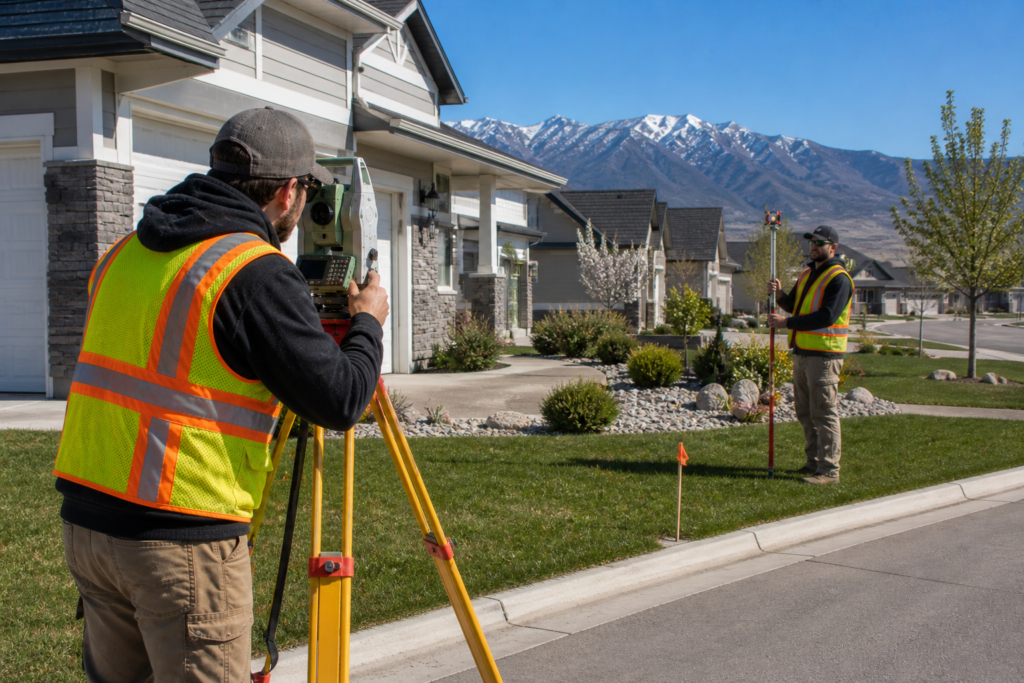
A topographic survey shows the shape of the land. Instead of focusing only on property lines, it maps elevation changes, slopes, and physical features.
Topographic surveys typically show:
- Elevation and contour lines
- Hills, slopes, and drainage paths
- Existing structures
- Natural features like trees or waterways
Because Utah terrain varies so widely, this type of land surveying plays a key role in safe and accurate planning.
Why Topographic Surveys Matter in Utah
Utah’s Terrain Creates Unique Challenges
Utah properties often include uneven ground, rocky soil, or steep slopes. Because of this, construction without accurate elevation data can lead to serious problems.
For example, building on sloped land without a topographic survey can cause:
- Drainage issues
- Foundation instability
- Unexpected grading costs
A topographic survey helps prevent these issues before construction begins.
When a Topographic Survey Is Needed
Topographic surveys are commonly required when:
- Planning new construction
- Designing drainage or grading plans
- Developing land or subdivisions
- Designing landscaping or retaining walls
In many cases, local municipalities request topographic data before approving development plans. Requirements often come from city planning departments rather than state law. Licensing and professional standards for surveyors are regulated by the Utah Division of Professional Licensing, which provides guidance at https://dopl.utah.gov.
How Topographic Surveys Support Construction and Design
Topographic surveys give engineers, architects, and builders the data they need to design safely and efficiently.
With accurate elevation information:
- Builders can plan proper drainage
- Engineers can design stable foundations
- Property owners can avoid costly redesigns
As a result, projects move forward more smoothly and with fewer surprises.
Topographic Surveys vs. Boundary Surveys
Although both are types of land surveying, they serve different purposes.
A boundary survey focuses on property lines and corners. In contrast, a topographic survey focuses on elevation and land features. In some projects, both surveys are required.
Frequently Asked Questions About Topographic Surveys in Utah
Do all construction projects require a topographic survey?
Not all projects require one. However, most projects involving grading, drainage, or sloped land benefit from topographic data.
How accurate are topographic surveys?
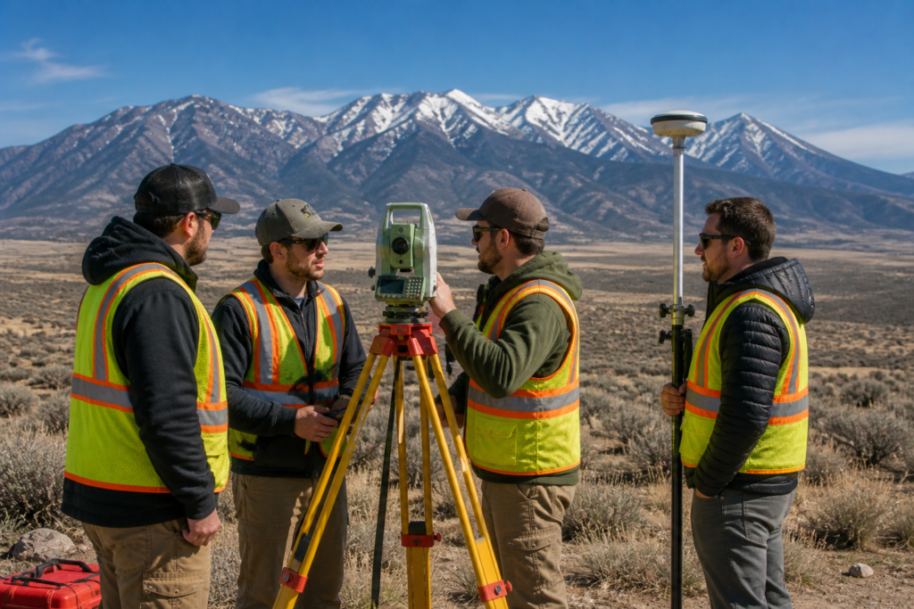
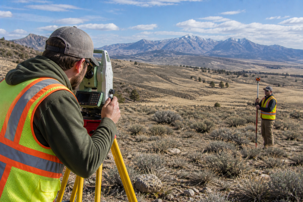
Licensed land surveyors use modern equipment to collect highly accurate elevation measurements.
Can a topographic survey help with drainage issues?
Yes. Topographic surveys show how water flows across land, which helps prevent future drainage problems.
How long does a topographic survey take?
Most residential surveys take one to two weeks, depending on property size and complexity.
Are topographic surveys required by law?
They are not always required by law, but many cities and engineers require them for approval.
Conclusion: Why Topographic Surveys Matter in Utah
Because Utah’s terrain varies so widely, topographic surveys play an essential role in responsible land use. They help property owners understand elevation changes, plan construction, and avoid costly mistakes.
Knowing the shape of your land before building protects both your investment and your timeline.