(801)364-4051 contact@cook-surveying.com
cook-surveying.com
  • Home
  • Services
    • Land Surveying
    • Drone Mapping
    • GIS Mapping
    • ILI Tracking
    • Hydrographic
  • About
    • Our Portfolio
    • Associations
  • Latest News
  • Contact
Select Page
What Does CP Mean in Surveying?

What Does CP Mean in Surveying?

by Cook Surveying | Jun 8, 2026 | Drone Mapping, GIS Mapping, Land Surveyors, Surveying

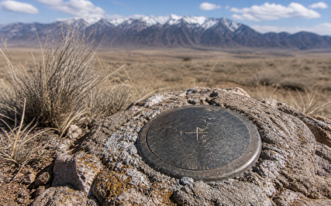
If you have ever looked at a survey map or heard a surveyor use the term CP, you might have found yourself wondering what does CP mean in surveying. It is one of those abbreviations that shows up regularly in survey documents and field notes, yet most property owners...

Recent Posts

  • How Many Types of Surveyors Are There?
  • What Is the Difference Between a Survey and a Boundary Survey?
  • What Is the Best Land Survey Method?
  • What Is the Most Common Type of Land Survey?
  • What Are Red Flags on a Survey?

Recent Comments

  1. Why Developers and Engineers Need to Book a Land Surveyor Early for Rio Grande Valley Projects - Southpoint Geodetics LLC on Different Types of Boundary Monuments in Land Surveying
Cook Surveying Salt Lake City

1785 S. 4130 W. STE J
Salt Lake City, Utah 84104
(801) 364-4051
contact@cook-surveying.com

Services

Surveying
GIS / Mapping
ILI Tracking
Drone Mapping
Hydrographic Surveying

About us

Portfolio
Industry & Safety Association
News Articles
Cook Surveying & Associates LLC BBB Business Review

Company

About Us
Site Map
Contact Us
© 2023 Cook Surveying & Associates, LLC. | Salt Lake City, Utah | 801-364-4051 | Website by Electric Edge Media