by Cook Surveying | Jun 8, 2026 | Drone Mapping, GIS Mapping, Land Surveyors, Surveying
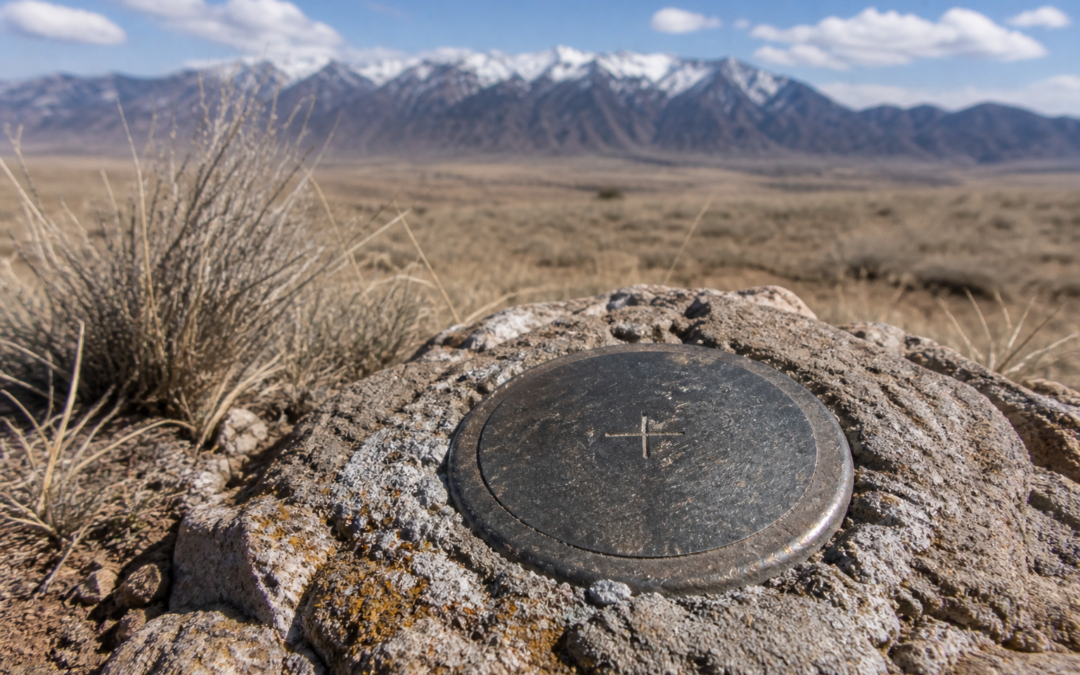
If you have ever looked at a survey map or heard a surveyor use the term CP, you might have found yourself wondering what does CP mean in surveying. It is one of those abbreviations that shows up regularly in survey documents and field notes, yet most property owners...

by Cook Surveying | Dec 17, 2024 | GIS Mapping, Hydrographic Surveying, Land Surveyors
Surveying is a diverse field that encompasses various techniques and applications, each suited to different needs and outcomes. From determining land boundaries to aiding in large-scale construction projects, surveyors employ a range of methods to gather essential...

by Cook Surveying | Aug 20, 2024 | GIS Mapping, Land Surveyors
In the field of land surveying, color-coded markers play a crucial role in conveying specific information about the land. Blue flag markers are essential tools used by surveyors to indicate particular features or areas during site assessments. This article explores...

by Cook Surveying | Oct 9, 2023 | GIS Mapping
In an era characterized by data-driven transformations, the power of data has silently reshaped our world. Behind the scenes, there exists a potent yet discreet tool known as GIS mapping. This covert exploration offers insights into the enigma of GIS mapping, its...
