
by Cook Surveying | Jun 8, 2026 | Drone Mapping, GIS Mapping, Land Surveyors, Surveying
If you have ever looked at a survey map or heard a surveyor use the term CP, you might have found yourself wondering what does CP mean in surveying. It is one of those abbreviations that shows up regularly in survey documents and field notes, yet most property owners...

by Cook Surveying | Dec 10, 2024 | Drone Mapping, Land Surveyors, Surveying
In In the world of real estate and land development, terms like “plot” and “survey” are often used, but not always understood. Both are fundamental to how land is viewed, utilized, and transacted, yet they serve different purposes and are...
by Cook Surveying | Sep 26, 2023 | Drone Mapping, Land Surveyors
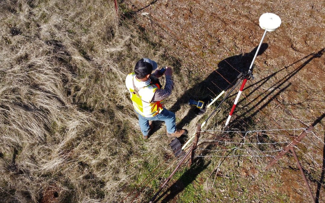
Global Positioning System (GPS) technology has transformed the field of land surveying. It offers surveyors the ability to collect precise location data quickly and efficiently. However, like any technology, GPS surveying has its disadvantages. In this article,...

by Cook Surveying | Jun 13, 2023 | Drone Mapping
In recent years, the advent of drone technology has revolutionized various industries, including land surveying. Drone mapping, also known as aerial photogrammetry, has emerged as a powerful tool that offers significant advantages over traditional surveying methods....
