(801)364-4051 contact@cook-surveying.com
cook-surveying.com
  • Home
  • Services
    • Land Surveying
    • Drone Mapping
    • GIS Mapping
    • ILI Tracking
    • Hydrographic
  • About
    • Our Portfolio
    • Associations
  • Latest News
  • Contact
Select Page
What Is the Best Land Survey Method?

What Is the Best Land Survey Method?

by Cook Surveying | Jun 29, 2026 | Land Surveyors, Surveying

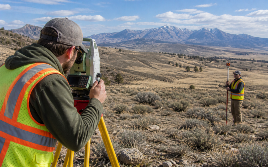
Image Prompt: A professional land surveyor using a total station while a second crew member holds a prism pole in an open Utah landscape with dramatic red rock formations and a wide blue sky, natural daylight, photorealistic, wide horizontal composition, no text...

Recent Posts

  • How a Land Survey Helps Prevent Commercial Project Delays in Utah
  • Which ALTA Table A Items Matter Most for Utah Commercial Property?
  • What Should You Give a Land Surveyor Before a Commercial Project?
  • Construction Staking vs. Site Layout: What Do Utah Builders Need?
  • What Does a Topographic Survey Include for a Utah Commercial Site?

Recent Comments

  1. Why Developers and Engineers Need to Book a Land Surveyor Early for Rio Grande Valley Projects - Southpoint Geodetics LLC on Different Types of Boundary Monuments in Land Surveying
Cook Surveying Salt Lake City

1785 S. 4130 W. STE J
Salt Lake City, Utah 84104
(801) 364-4051
contact@cook-surveying.com

Services

Surveying
GIS / Mapping
ILI Tracking
Drone Mapping
Hydrographic Surveying

About us

Portfolio
Industry & Safety Association
News Articles
Cook Surveying & Associates LLC BBB Business Review

Company

About Us
Site Map
Contact Us
© 2023 Cook Surveying & Associates, LLC. | Salt Lake City, Utah | 801-364-4051 | Website by Electric Edge Media